
CANARY ISLANDS
Summary
This brief hike on the island of Fuerteventura provides excellent views of the eastern coastline, sand dunes and ocean-side towns.
Trail Stats
Mileage: 2.95 miles RT
Elevation Gain: 1,591 feet
Toilet at trailhead: No
Sandwich Spots: Yes
Parking: Roadside Pull Out
Mileage/EG from Garmin watch

Trail Details
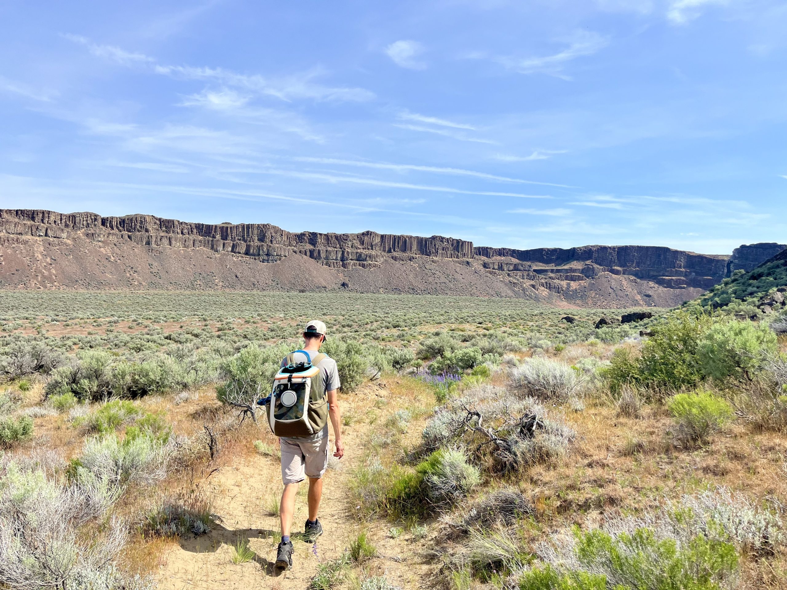
What makes a hike? I questioned myself in writing Montaña Roja as a hike. The trail seems too short to be a real hike. More the length of a casual walk. Yet, the terrain and footing is challenging. Loose rocks and a steep hill. It comes with a decent amount of elevation. Exactly how much is up for debate as Doug and I came up with two very different numbers with our tracking devices. Normally they are fairly close. Not so much this time. He showed just under 1,000 feet. I went with my watch as it’s what I normally go by, though I’m more inclined to believe the lesser elevation gain as it simply did not feel that difficult.

Finding this trail was surprisingly easy. The trailhead is on the inland side of the FV-104, near the KM17 post. There’s a small pullout by this post but a better place to park in is a few paces south. Once parked you’ll simply look inland and head toward the wooden posts staked into the ground. There are two a short distance from each other. Once you get to them, the trail becomes rather obvious. When in doubt, head up.

The path entailed loads of loose rocks that are easy to slip on. Sometimes the loose dirt and sand is just as bad. It’s completely manageable, just a bit of a slip and slide if you’re not careful on the way back down.

Upon first glance, the land looks and feels desolate and completely barren. On second and third glance it still appears to be a wasteland. Upon closer inspection, one will notice there is indeed life. Tiny purple flowers amongst the lava rock. Minute red succulents thriving in this arid environment. Specks of green intermixed with rocks. I had plenty of time to notice as I spent much of the hike looking down so I’d not trip over a rock and land on my face. While I’m not fond of my nose, I prefer it remain nice and pointy instead of lopsided and crooked.

As for the hike itself, follow the trail toward the hillside. It’ll turn inland after awhile. You’ll begin climbing a slope that seems to parallel the mountain. There’s a healthy gully in between the path and our destination.

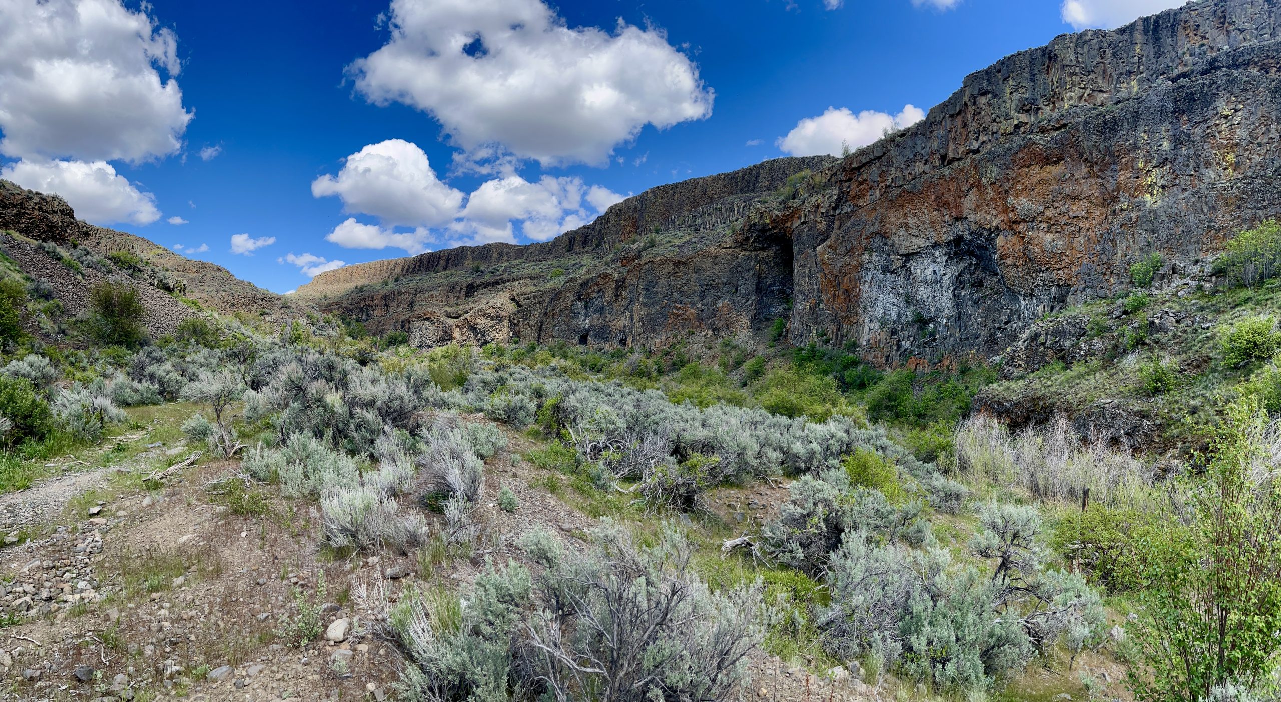
Looking across the span, toward the mountain, there are several small caves dotting the hillside. Looking north, you’ll see the Dunas de Corralejo spread out in the distance. On a clear day you should be able to see tiny Isla de Lobos or even the adjacent Canary Island, Lanzarote. Unfortunately, we came in on a hazy day. Primarily dust kicked up from high winds. All views were affected. We could see islands, just not clearly.

After a bit, the trail makes a relatively sharp turn toward the mountain. Here the trail heads straight uphill. It’s by far the steepest section of trail and is full of loose rock. Not so much a problem on the route uphill. A little more slippery and challenging when heading back down.

Cresting the hill you’ll be rewarded with views into the valley far below. If you’re content with the views here, you are free to head back down. For those who’d like a little more, the actual summit is further along the ridge and marked by a cement pillar.

The remainder of the path to the summit is either directly on the ridge or just a hair below. Meaning you’ll see a very long ways down on either side of you for a healthy amount of steps. If you’re squeamish about heights it may be challenging. More than the heights, I can’t say I cared for the relentless wind. The type that not only feels like it’s trying to blow you off the mountaintop, but also blows up your nose and literally steals your breath. Whichever side of my face the wind was smacking around, I had the hardest time breathing through that side of my nose. Very annoying.

The summit post is placed on a wider section of the ridge. Great spot to snap a few photos. Looking south you can see the towns of Puerto Lajas and Puerto del Rosario. To the west and north there are volcanic peaks dotting the horizon. The dunes seem far away from up here. The ocean sprawls endlessly to the east.

Once you’ve soaked up enough of the views, retrace your steps and viola! You’ll be back to the trailhead in no time. Just mind your step on the way back!


Leave a Reply