SOUTHERN SPAIN
Summary
Taking advantage of an extensive trail system, we strapped on our hiking shoes and headed for the hills. A relatively moderate climb brought us to Monte Calamorro with it’s sweeping views of the valleys below and the Costa Del Sol.
Trail Stats
Mileage: 8.57 miles RT
Total Elevation Gain: 2,470 feet
Toilet at trailhead: No
Sandwich Spots: Yes
Parking: Street Parking
Mileage/EG from Garmin Watch
Trail Details
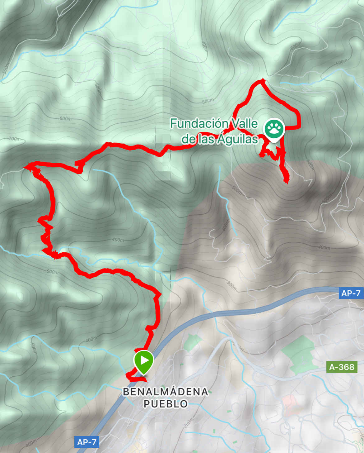
Promises of sunshine and clear skies had us heading for the hills behind our temporary home in Benalmadena Pueblo. Who can resist the temptation of extensive views and pleasant temperatures? Not I! Dia perfecto para una caminata! (Perfect day for a hike).
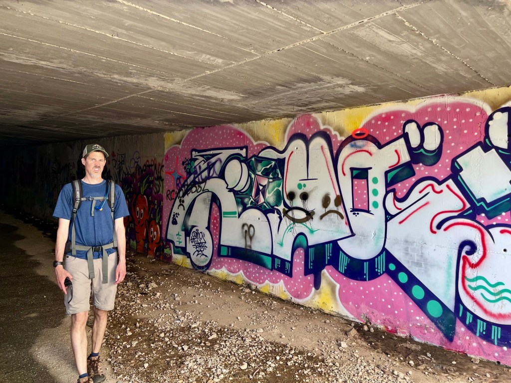
Once again we began at the children’s park off of Luis Cernuda street. Down through the dank and drippy tunnel below the freeway. Still gross under there. Nearly as soon as you depart said under pass, there’s a split in the trail. Head right onto GR 249. It’s the red trail. This trail parallels the noisy freeway for a while, giving you great views of the freeway. And all the vehicles zooming along. How exciting. Better views lay ahead.
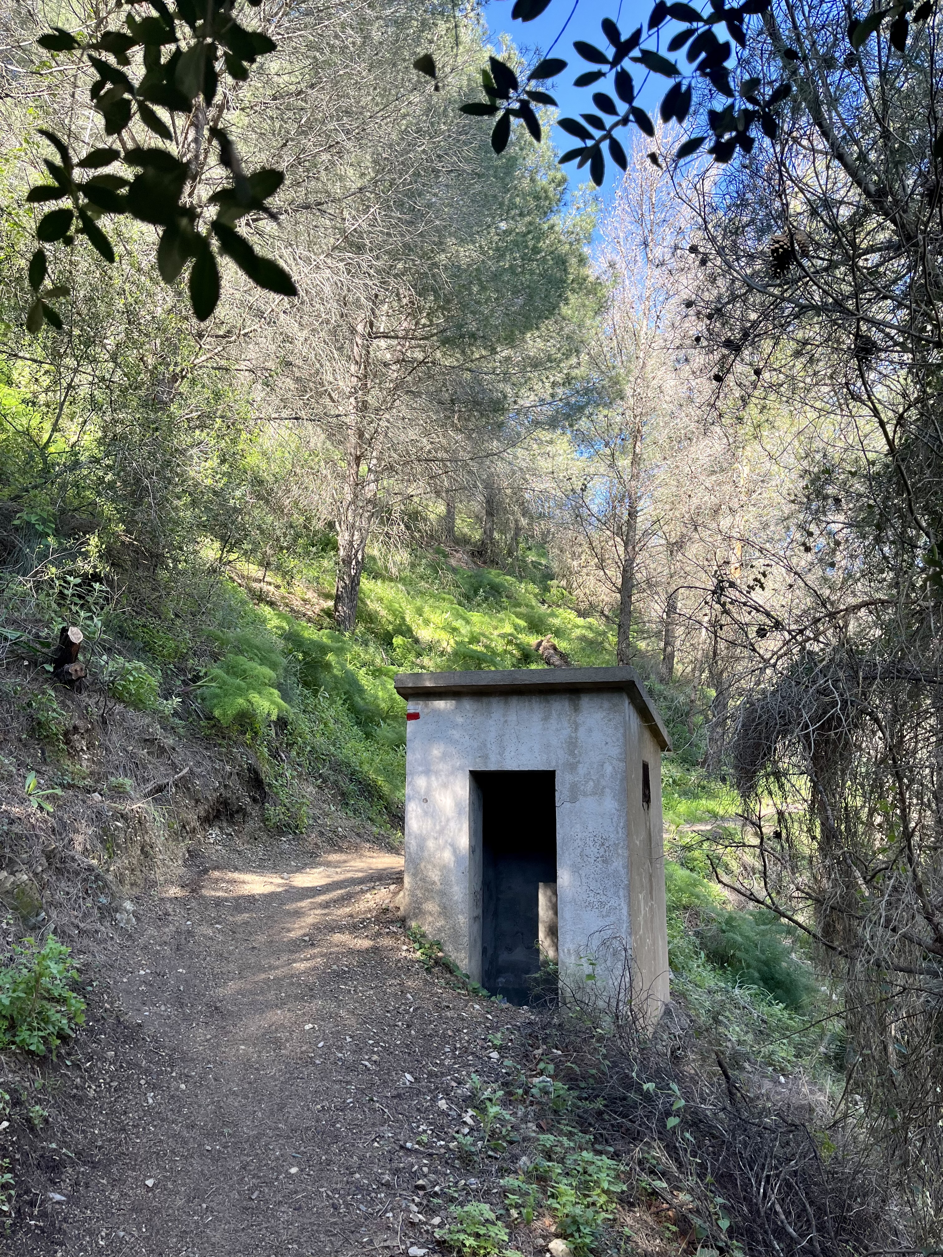
Shortly there’s a turn off (to the left) that would take you toward Mijas, ignore it and keep dead ahead. There are a series of small concrete huts along this lower path. They are all in serious disrepair and have rather obviously been out of commission for quite some time. The most I could find out is they likely were used as part of a water network infrastructure. Beyond that they provide points of interest on the trail. They rather look like concrete slabs thrown together, most completely missing their front and only door.

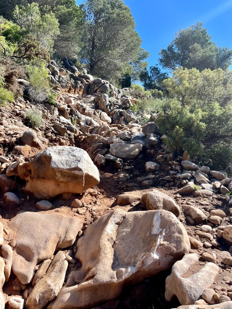
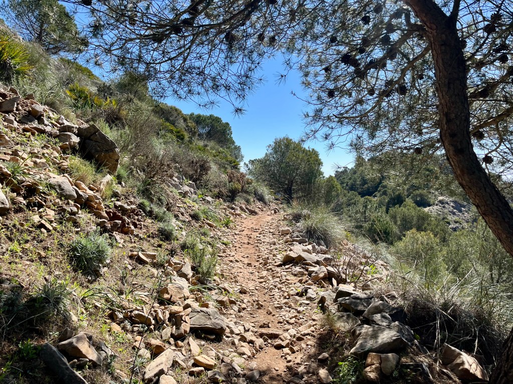
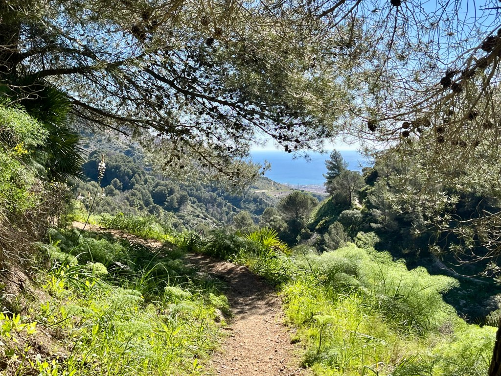
Turning inland, the trail slowly ascends the hillside. Footing varies from straight up sand (just why with the sand already?!?!), rocks anywhere from pebble sized to as large as my head, beds of pine needles, dirt and the occasional tree roots. I still maintain the sand is by far the worst.
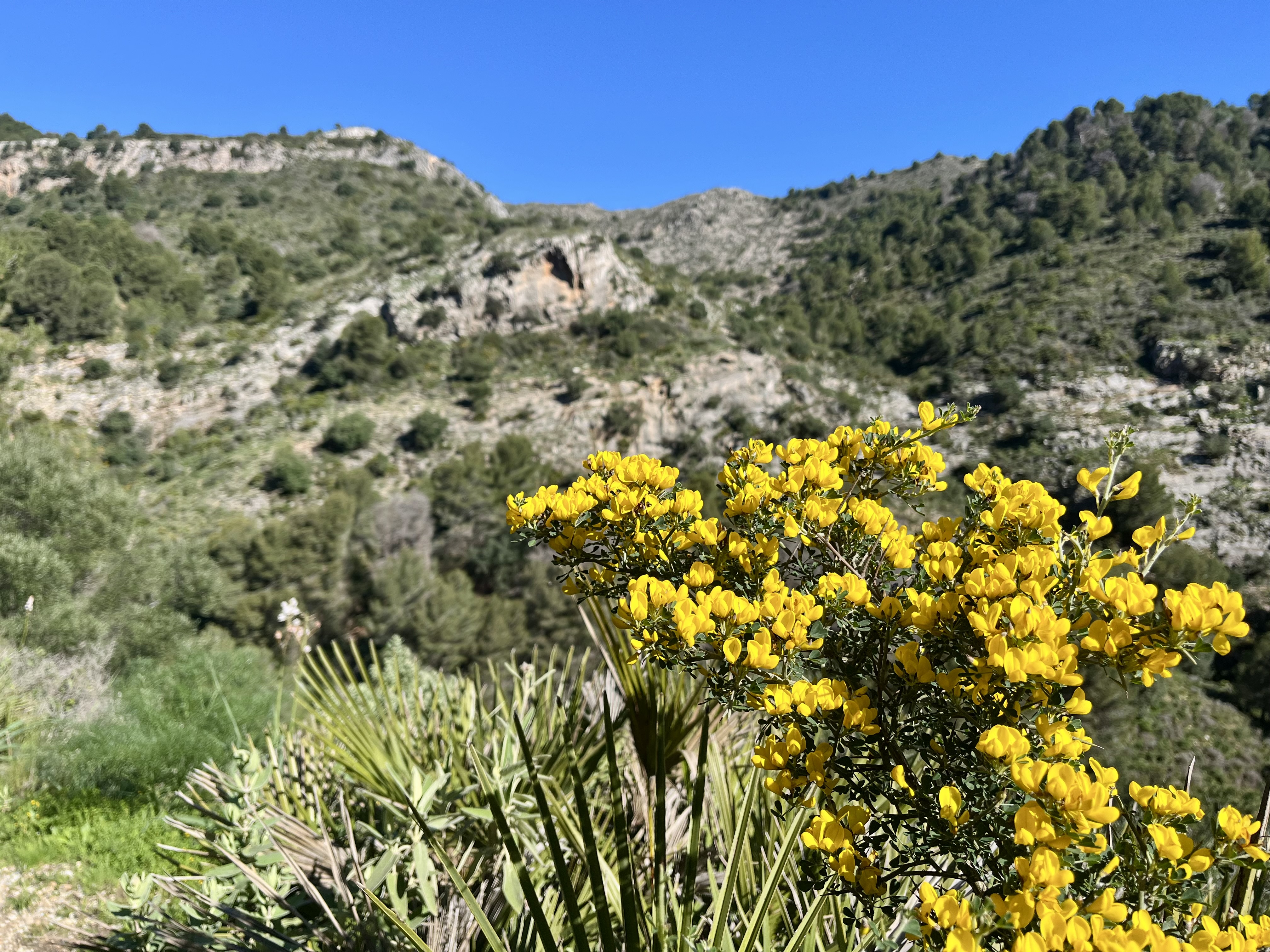
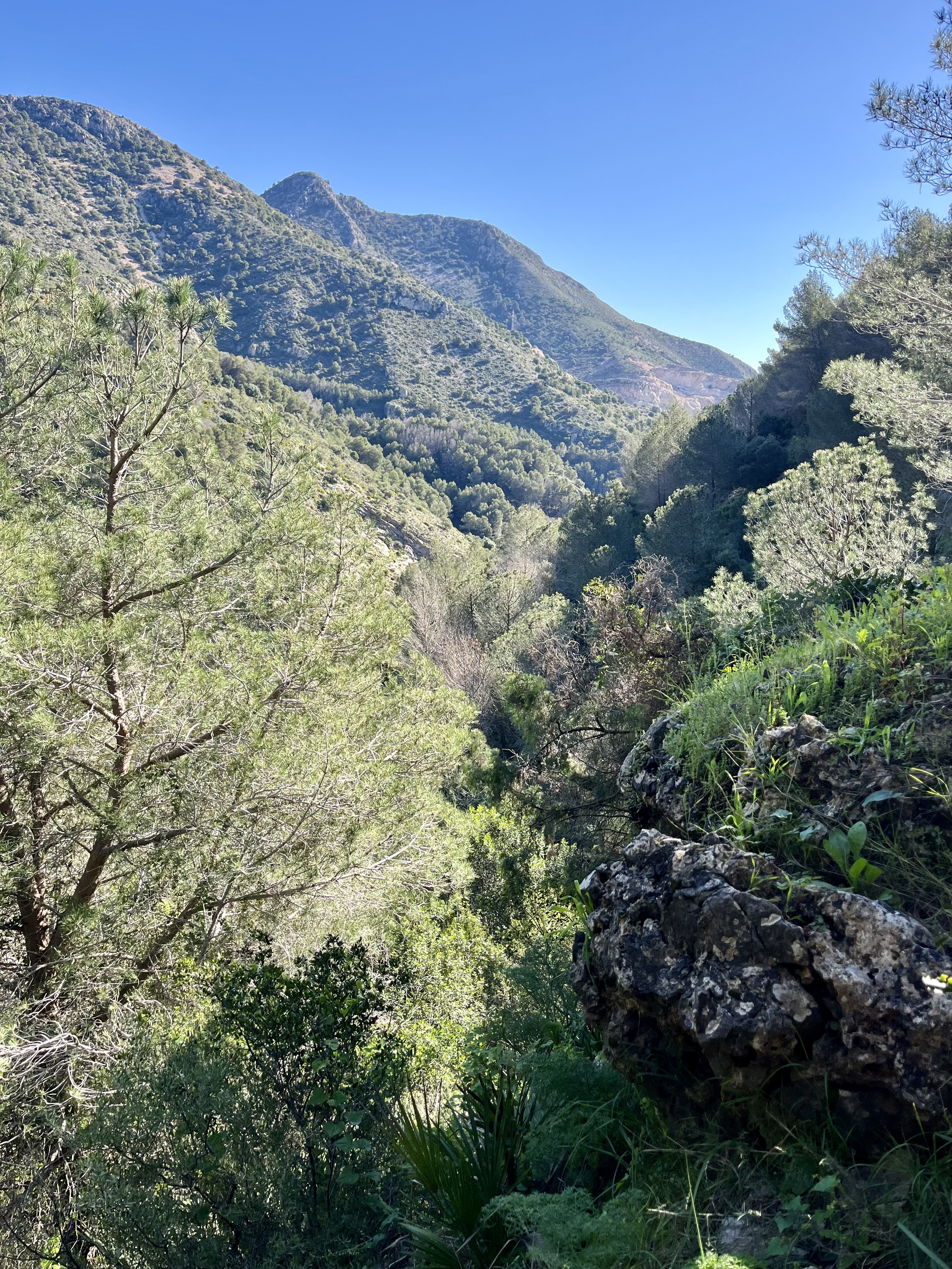
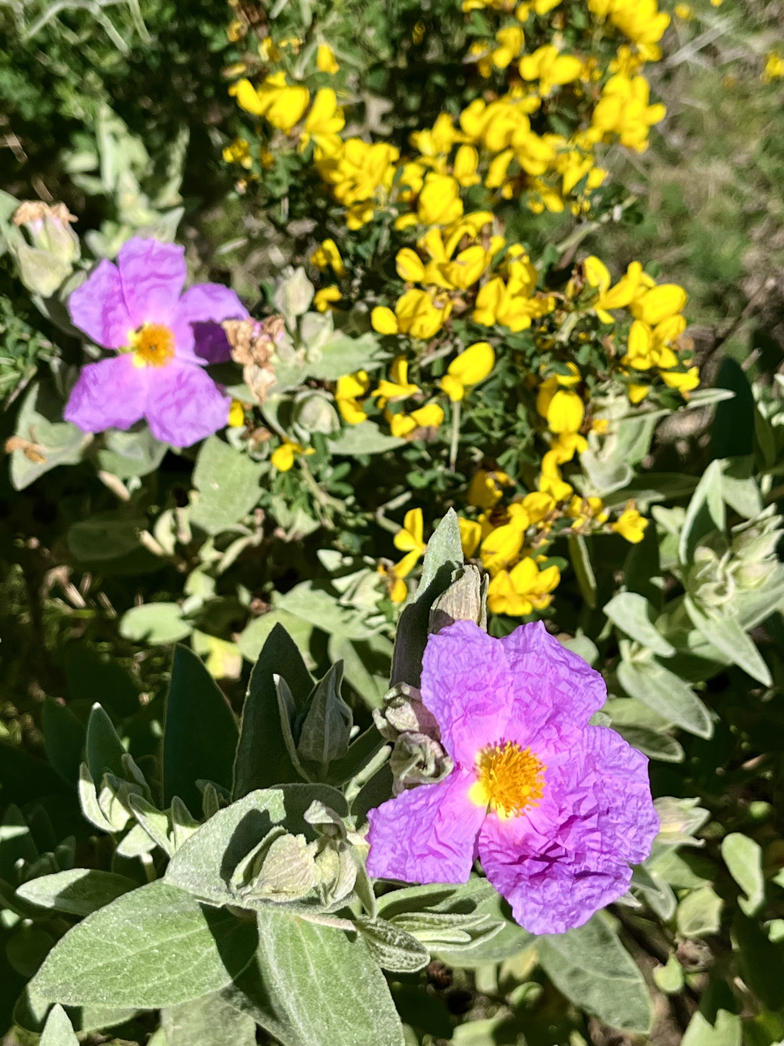
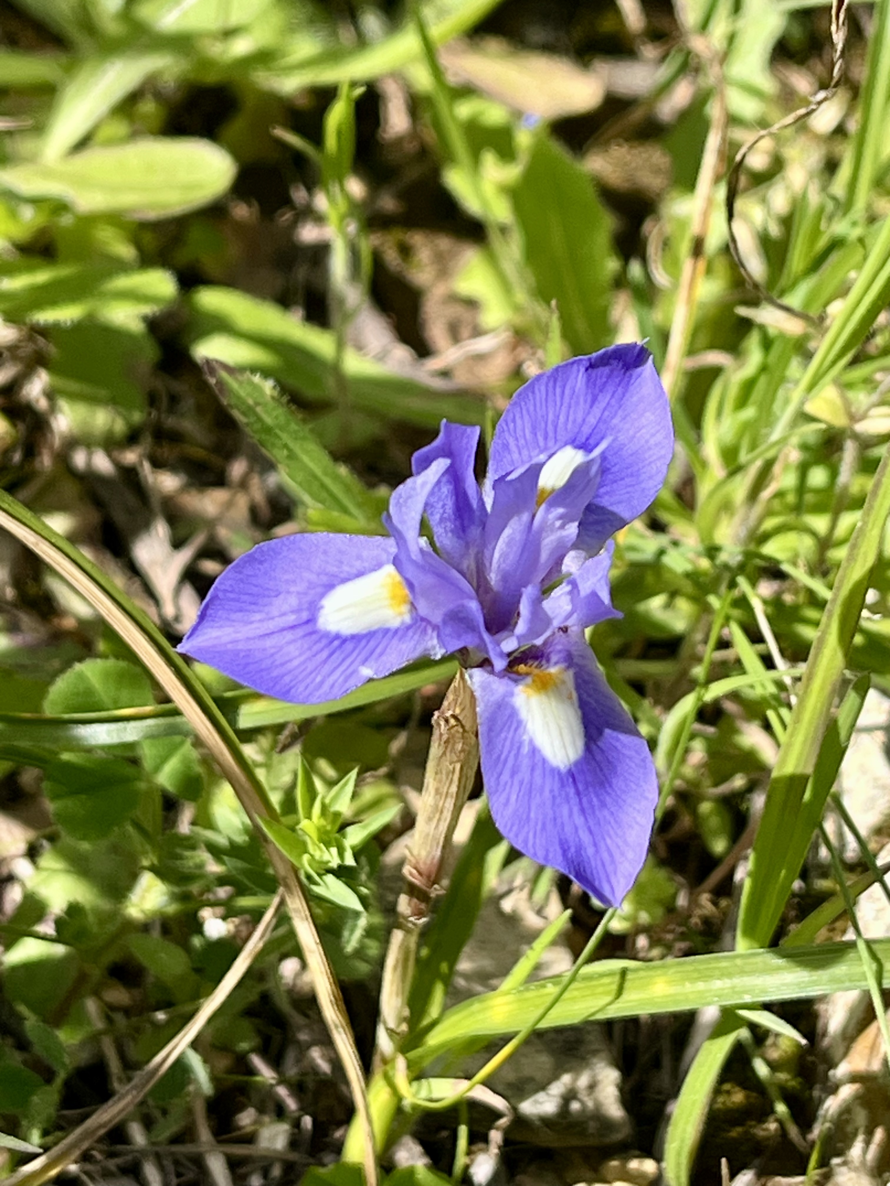
While the elevation gain is relatively moderate here, there will be a few random steep spots. Don’t forget to look behind yourself occasionally, the Sea is back there. Around us were intermittent smatterings of flowers, primarily offering pink and yellow pops of color to the hills and cliffs across the way.

We crossed a minuscule stream and checked out what appeared to be an old watering trough. As there was a rather convenient stone bench we decided to be wise and apply sunscreen. No sunburns for us today. Though, apparently, I poorly applied it to my shoulder and have a bizarre sun blazed pattern there now.

More uphill after the stream. Up some pretty impressive rocks. And then you’ll finally wind around to the other side of the hill that you’ve been looking at for quite awhile. You’ll hit a few more junctions. They are well marked. Eventually, you’ll hit the main junction. Paths seem to come in from everywhere. There’s a sign with arrows pointing in all directions. Take the path up, to Telecabina. It says the top is 15 minutes away, though I tend to disagree. This is the steepest section of the entire trail. It shoots straight up the hill on loose rocky soil.

It was here we crossed paths with the fourth person of the day (two previous trail runners and one random dude taking a nap off trail, complete with blanket). This was one sweaty in shaper trail runner. Who bombed past us and then must have gotten a rock in his shoe. Because he was soon sitting and dumping things out of a shoe. Funny how you can always understand swearing, even in a different language.
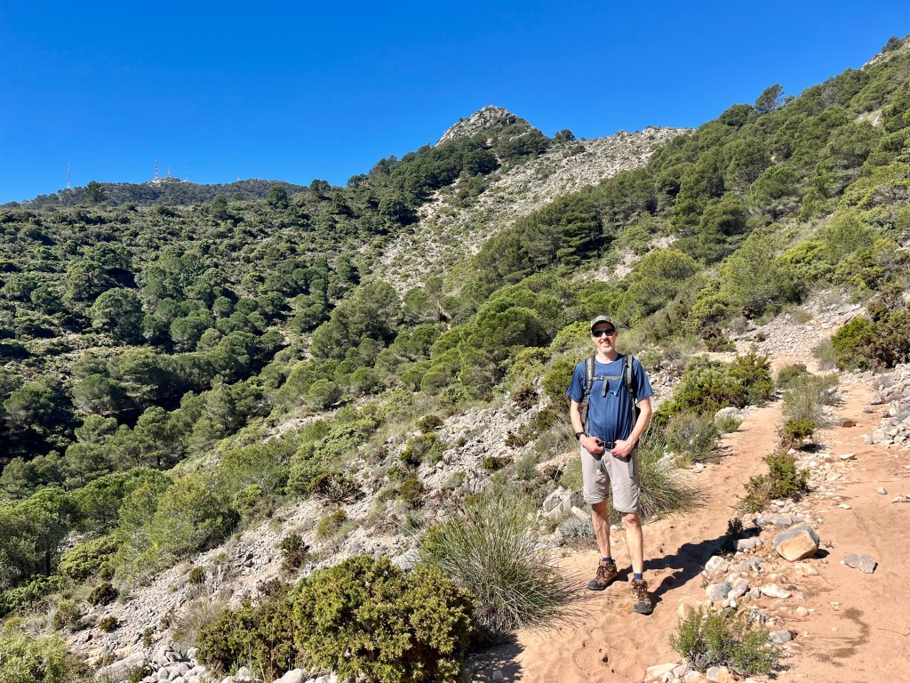
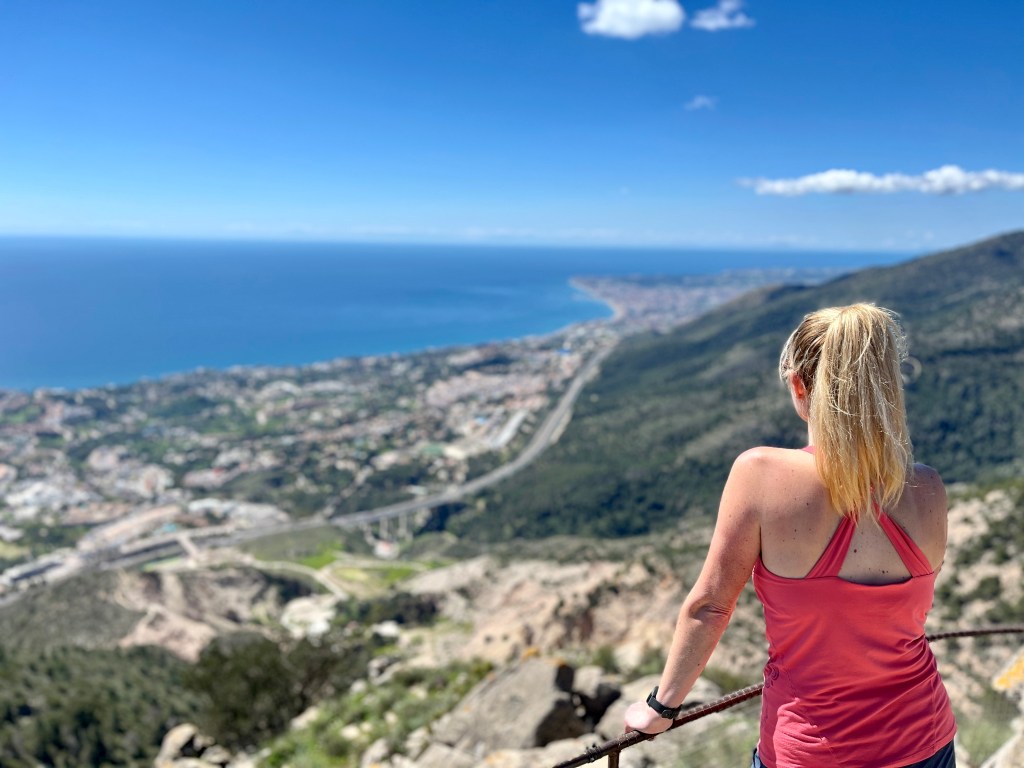
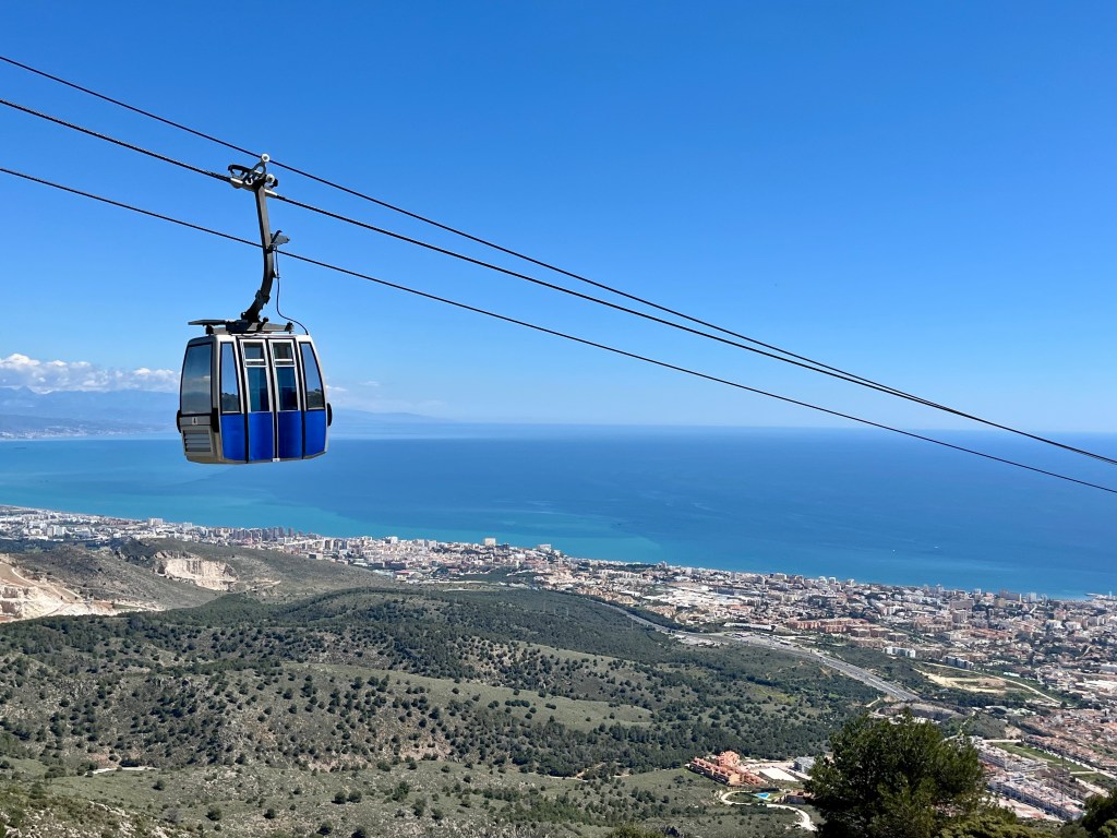
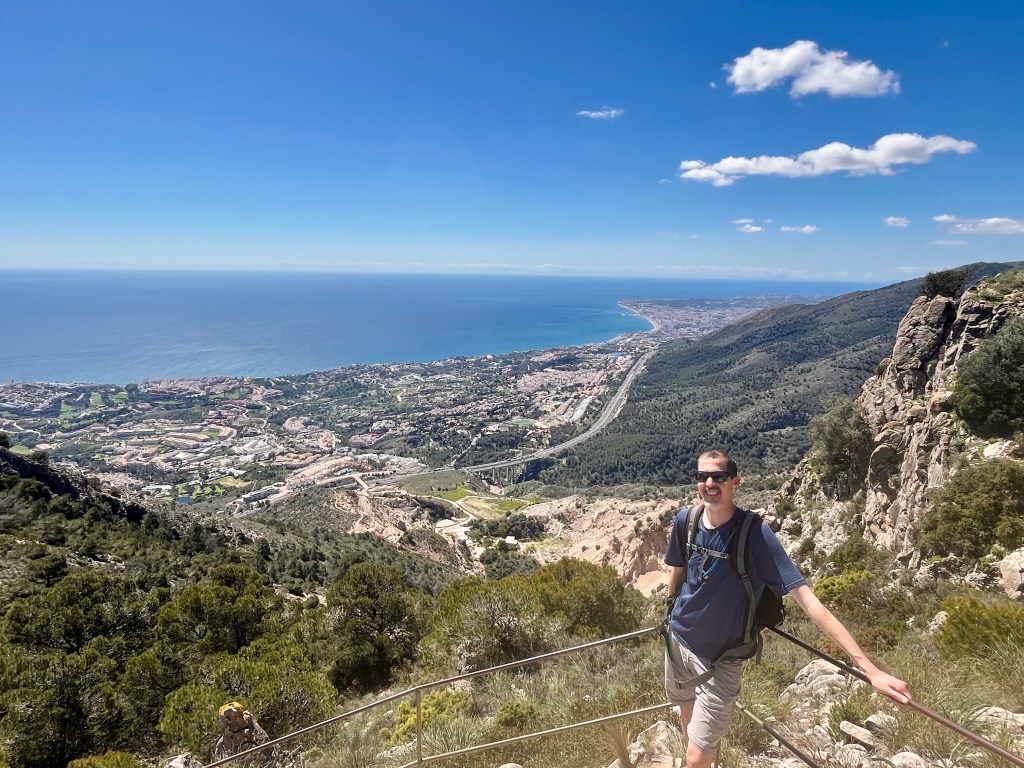
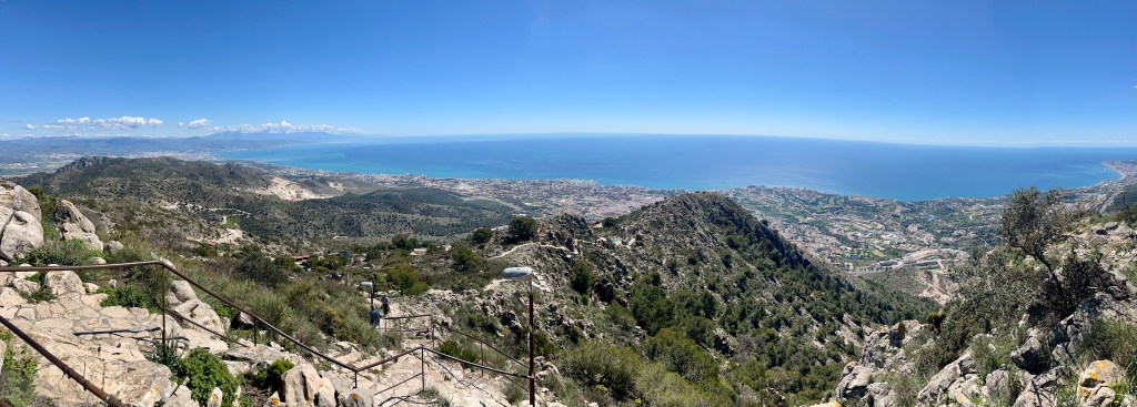
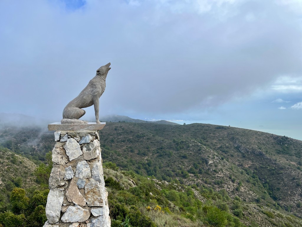
Wheezing our way uphill, unlike our glistening trail companion, we gasped our way to the top. Or at least where the trail merged with paved paths covering the mountain top. Alternately to trekking uphill, one may take a gondola ride up from the city center of Arroyo De La Miel. But we wanted to hike it. So no gondola for us. But the paths up top lead to a few view points or “miradors” in Spanish. Up here, there are a plethora of people. No pets allowed.
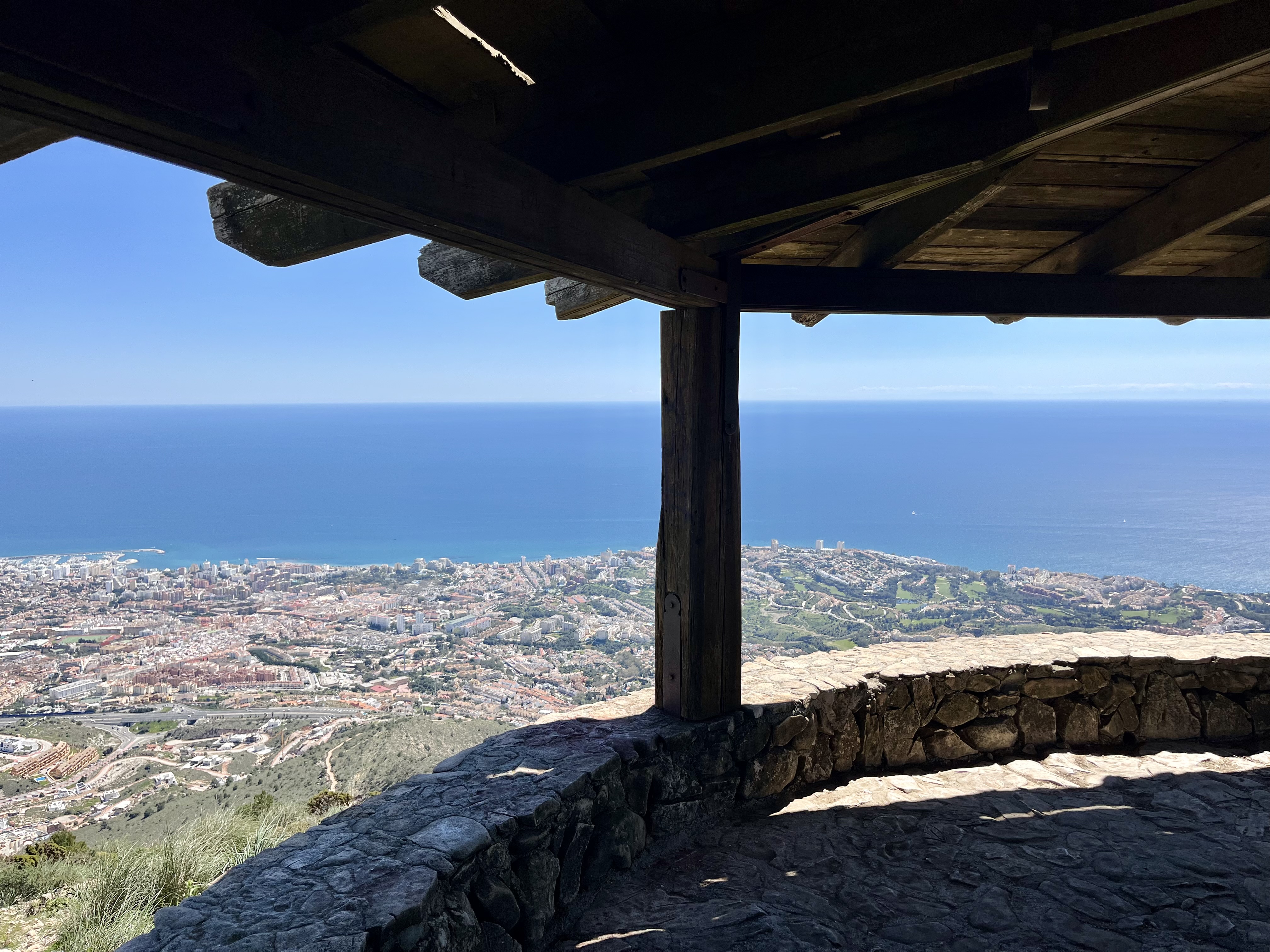
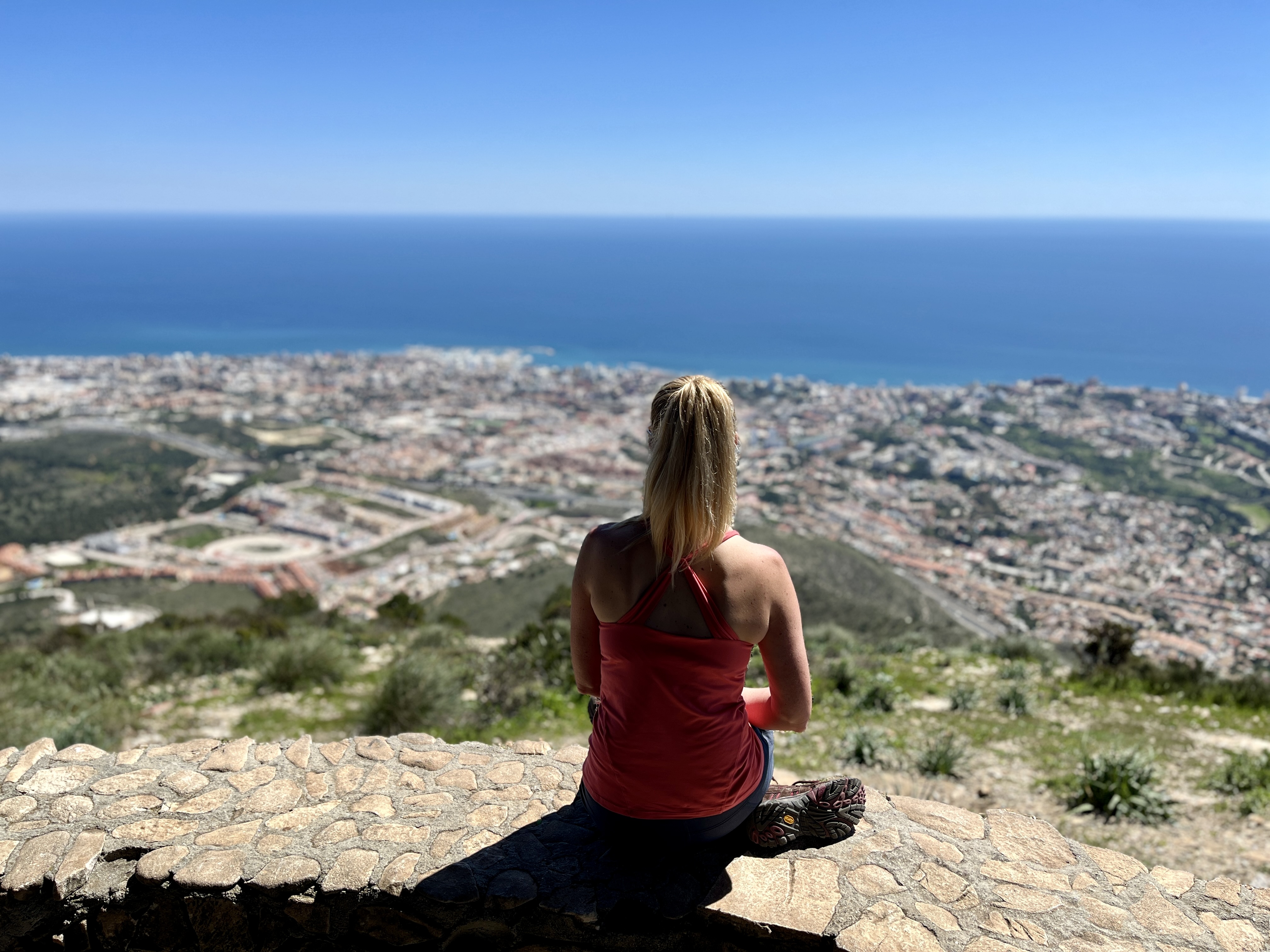
We first checked out the Mirador del Oeste. In the hazy distance one could see the Rock of Gibraltar and the mountainous coast of Africa. Benalmadena sprawled far below. Found a nook sheltered from the wind with a bench, perfect spot for our sandwiches. Warm sunlight bore down. It was glorious.

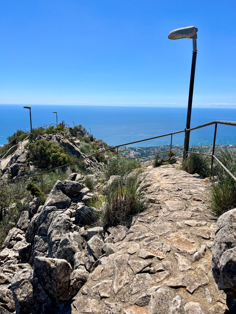
Next up, Mirador Sur. For this view point, you’ll head along narrow paver trail complete with metal railings. I presume to keep one from falling to an imminent death FAR below. Not to trusting of us fellow humans up there. This one has a round, low roofed open hut out at the point. Provided some lovely shade. We met a lovely couple from Canada and chatted a while. Gotta love fellow travelers, we’re all so pleased to be out and about!
Checking out the gondola area, there seems to be a restaurant of sorts. Or at least a place to order basic snacks. And there’s a bird exhibit. I believe they do shows. We passed.
Avoiding the crazy steep hill back down to the main trails, we headed down the road, which connects to trail GR 249, leading us back home. The road is relatively boring, a few bikers and fellow walkers. There’s a chain across the road where it meets up with hiking trails. Could prove a nasty shock for a biker if they were bombing down and around that corner.
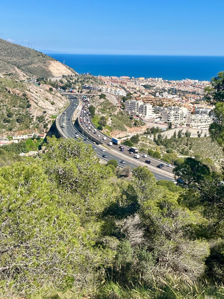
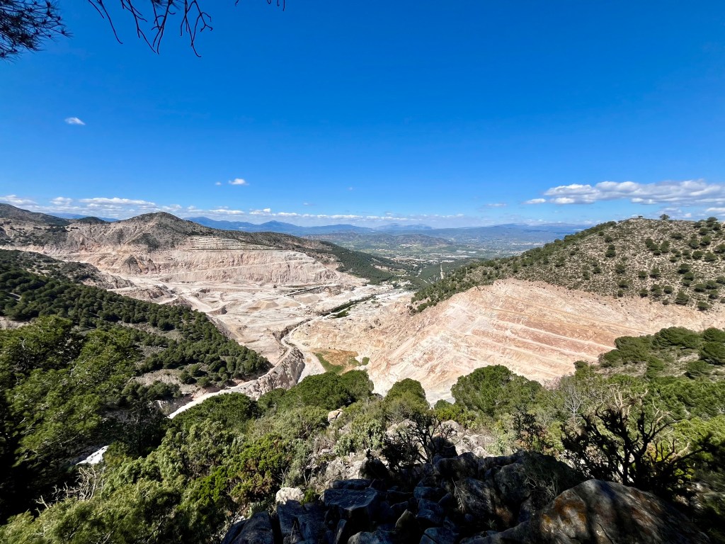
Heading left onto trail GR 249, we skirted around the northern side of Monte Calamorro. It’s here we had the best view of the ugliest sight on the trails. There is a massive quarry out there. The area is pocked with quarry’s all over but none quite like this one. It’s massive. Not particularly visually appealing, but it is interesting to see I suppose.
Ran into a life goal couple out here. An older white haired couple out hiking. Happy as larks. Asking us if we’d hiked to Mijas yet. No, but maybe next week. So nice. That’s what I want. Doug and I, happy as can be, still crushing it out in the mountains when we are older white haired people. Well. At least I think I’ll be white haired. Hopefully I get that pretty flowing super white or silver hair. Not the weird smoker yellow tinted white. Doug likely wont have hair. Genetics.
After reconnecting with the trail in, we simply retraced our steps out. Both of us agreed this was a lovely hike. Not overly difficult, lots of gradual inclines. Only one stupendously steep part, which could be avoided if you’re willing to add in some length with the walk around we left on.
Returning to our rented casa, we definitely went for a cold beer out on the patio. Best of days!

Leave a comment