WESTERN WASHINGTON
Summary
When I think of my all time favorite hikes, this one is in the top ranking. Its beauty is unparalleled. One of the best sandwich spots to date.
Trail Stats
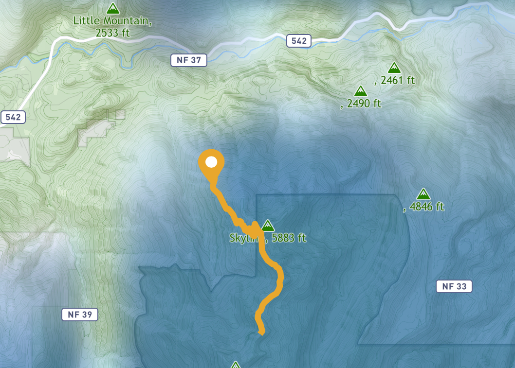
Mileage: 9 miles RT
Elevation Gain: 2,500 feet
Toilet at trailhead: Unsure
Sandwich Spots: Yes
Parking: Designated Lot
Mileage/EG from WTA.com
Trail Details
It often shocks me that people don’t explore their own area. I lived in the greater Seattle region for over 15 years and frequently heard, “Never been there” from people born and raised in the area. Over the years I saw and casually chatted with a lot of people as I worked in healthcare. It’s the classic, “What did you do last weekend” line of conversation. Turns out most people are terribly mundane. And do a whole lot of nothing. And definitely don’t explore the marvelous parks and forests the area provides. Turns out they are too busy drinking or going to kids soccer games (yuck) or staining their deck on that one nice weekend in Seattle. Seriously people. Go with composite in Seattle. Life changer. Just a quick power wash and viola! Done for the season. Much better than power washing one weekend, praying it doesn’t rain, and then staining it the next weekend. Followed by more desperate praying that it doesn’t rain until cured. Good luck. It’s Seattle.
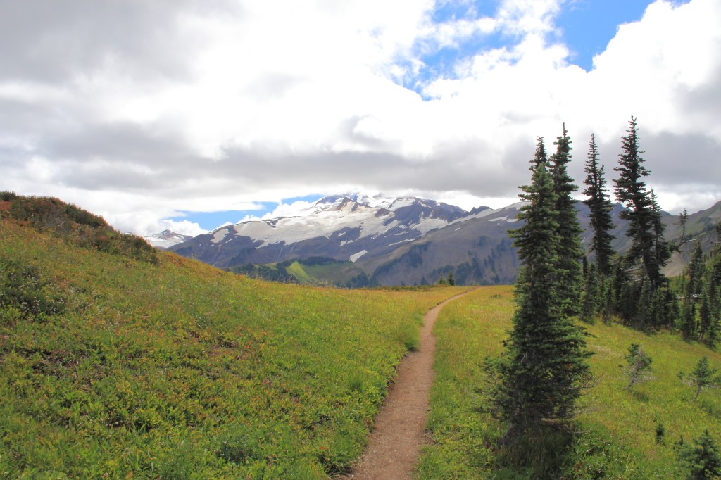
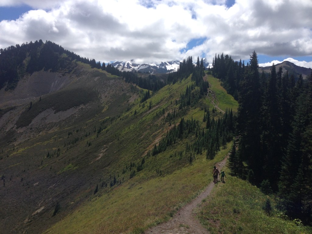
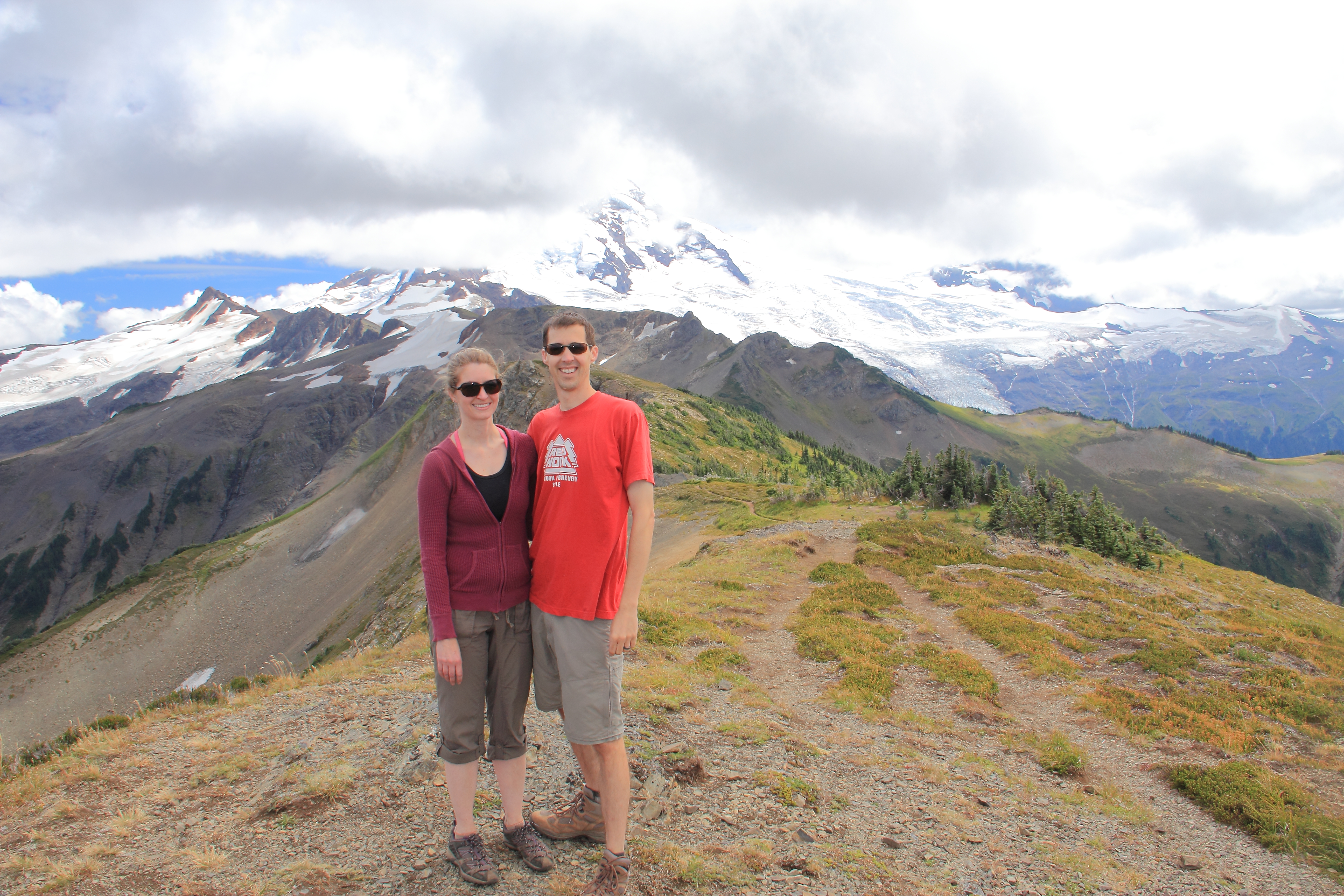
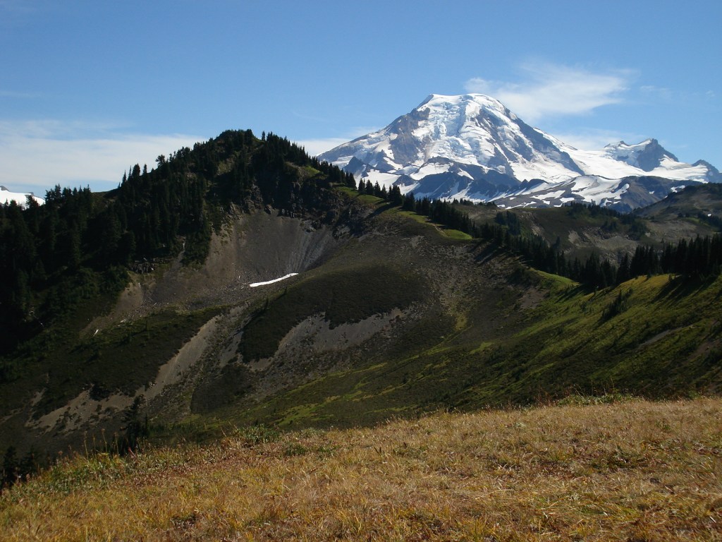
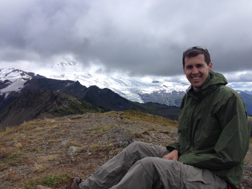
All that blather aside, one devastatingly breathtaking place, that does not get the credit it deserves, is Mt. Baker. Granted, it’s a pain to get there. I’ll give you that. But it hosts my all time favorite hike. If I had to pick only one hike (in Washington at least) to call my favorite, Skyline Divide is it. Be still my beating heart. There’s something majestic walking along this ridge line, that is technically an arm off Mt Baker itself. I feel like I’m in paradise up there. Especially if you keep going after cresting the ridge, towards Mt. Baker. The smattering of fellow hikers dwindles even more. Your gaze can’t help but to be captivated by the splendor in front of you. I know I’m gushing, but this one is special.
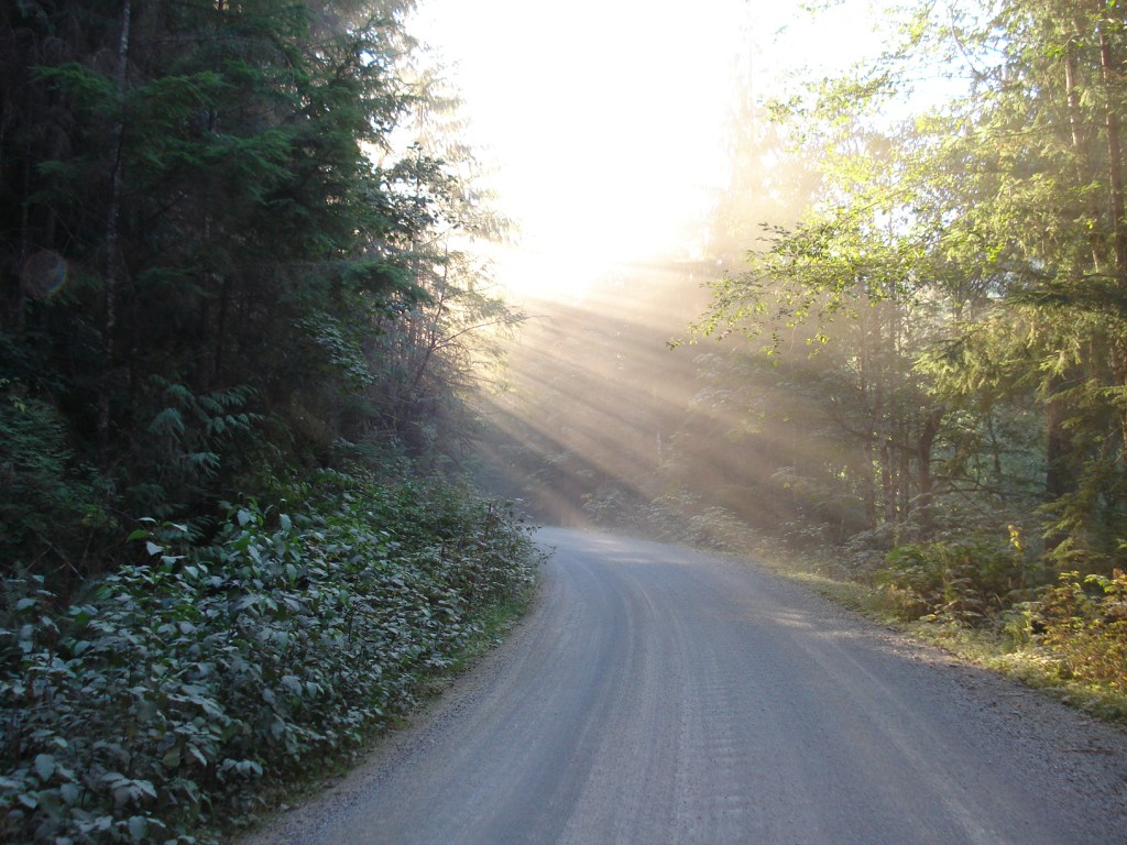
The trailhead is well marked and well loved. That being said I heard rumors the road leading to the trailhead is currently washed out. As I live many hours away I was not inclined to pop over and investigate.
If you prefer to hike without the burden of snow there’s a relatively short window for this one. It’s about as North as you can get without being in Canada and the ridge is somewhere around 6K feet in elevation. So it takes a minute to melt out. And it see’s fairly early snow. Plan accordingly. Also, bring a jacket. It can get chilly, even in mid summer, if the wind blows off that snow capped peak towards you.
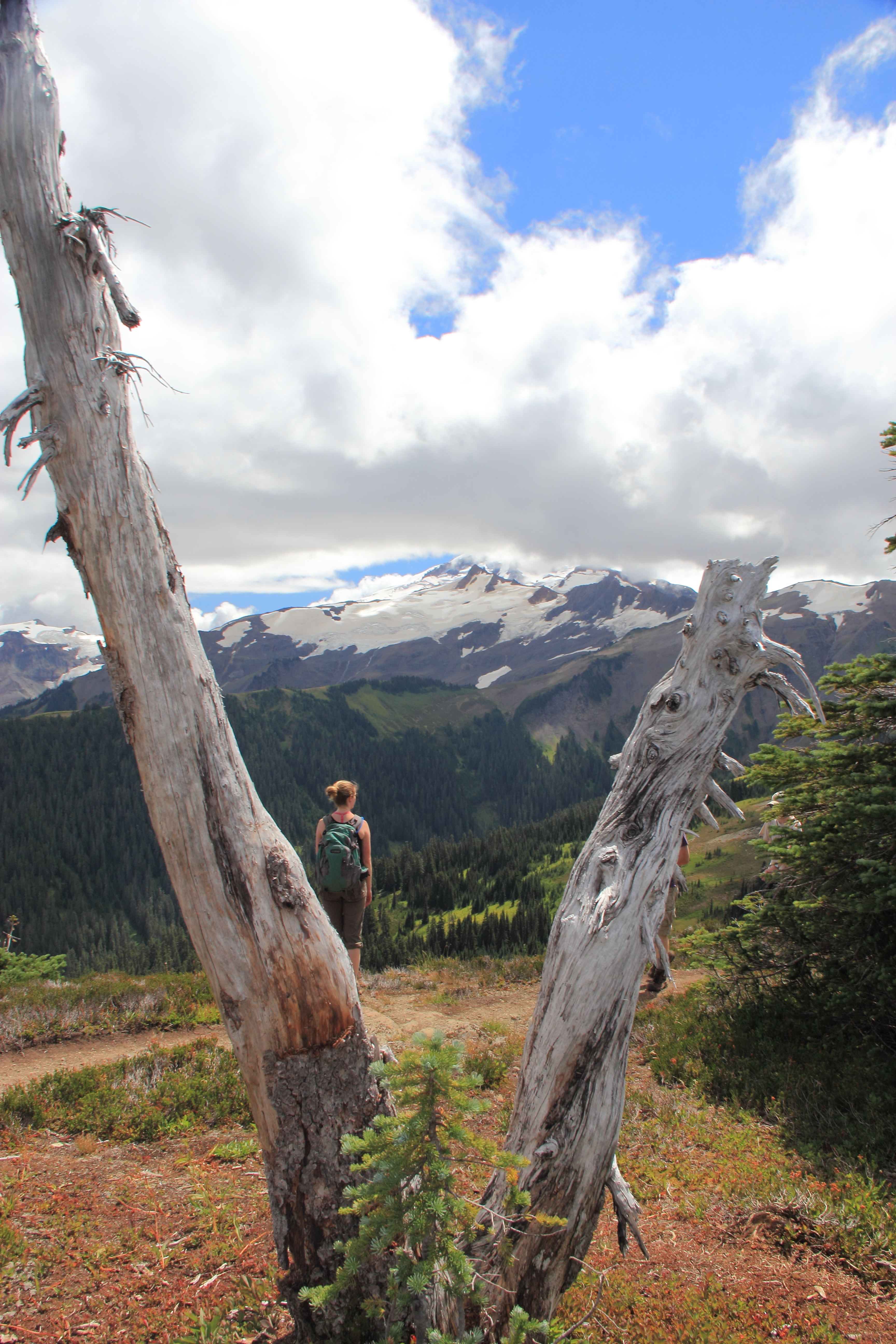
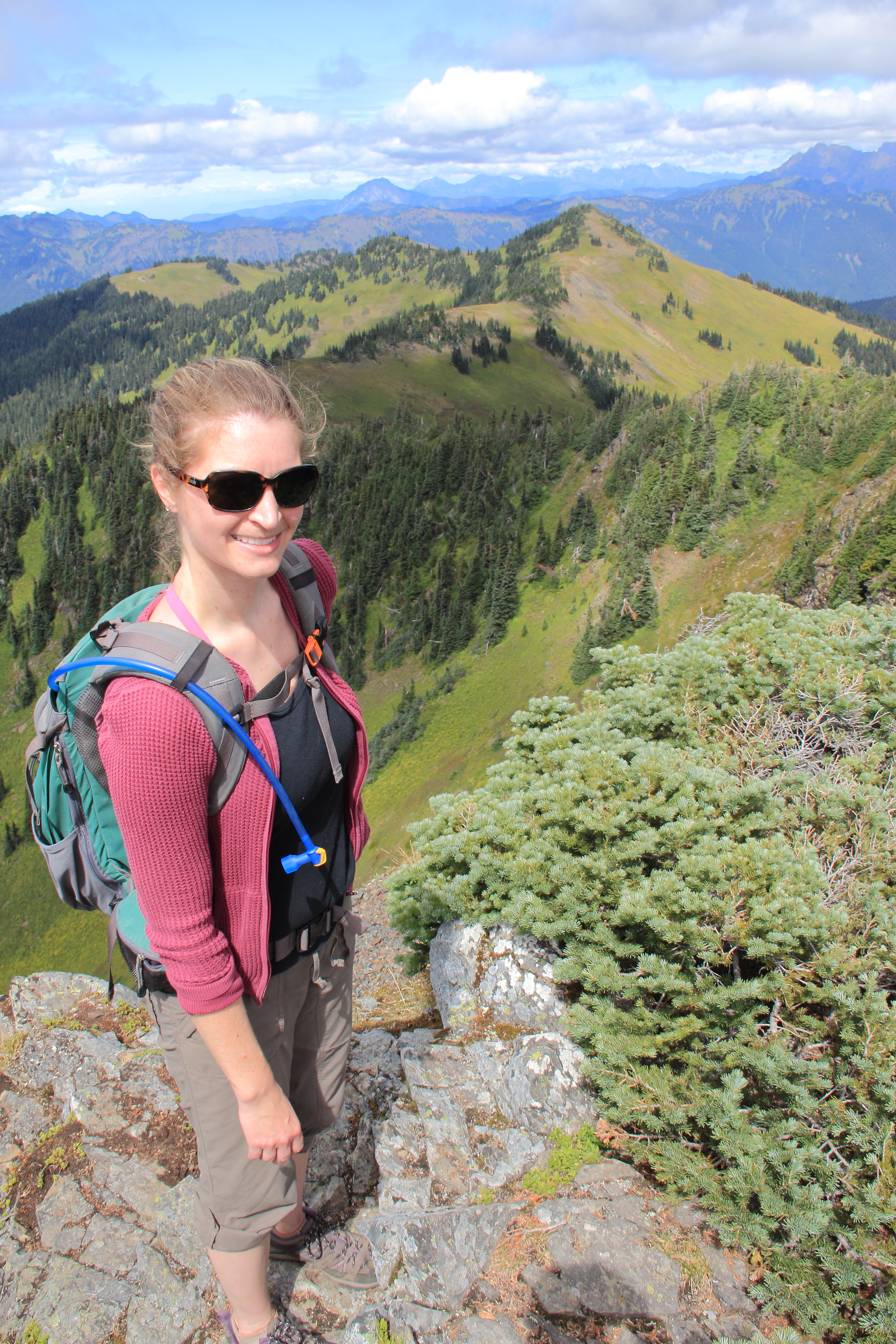
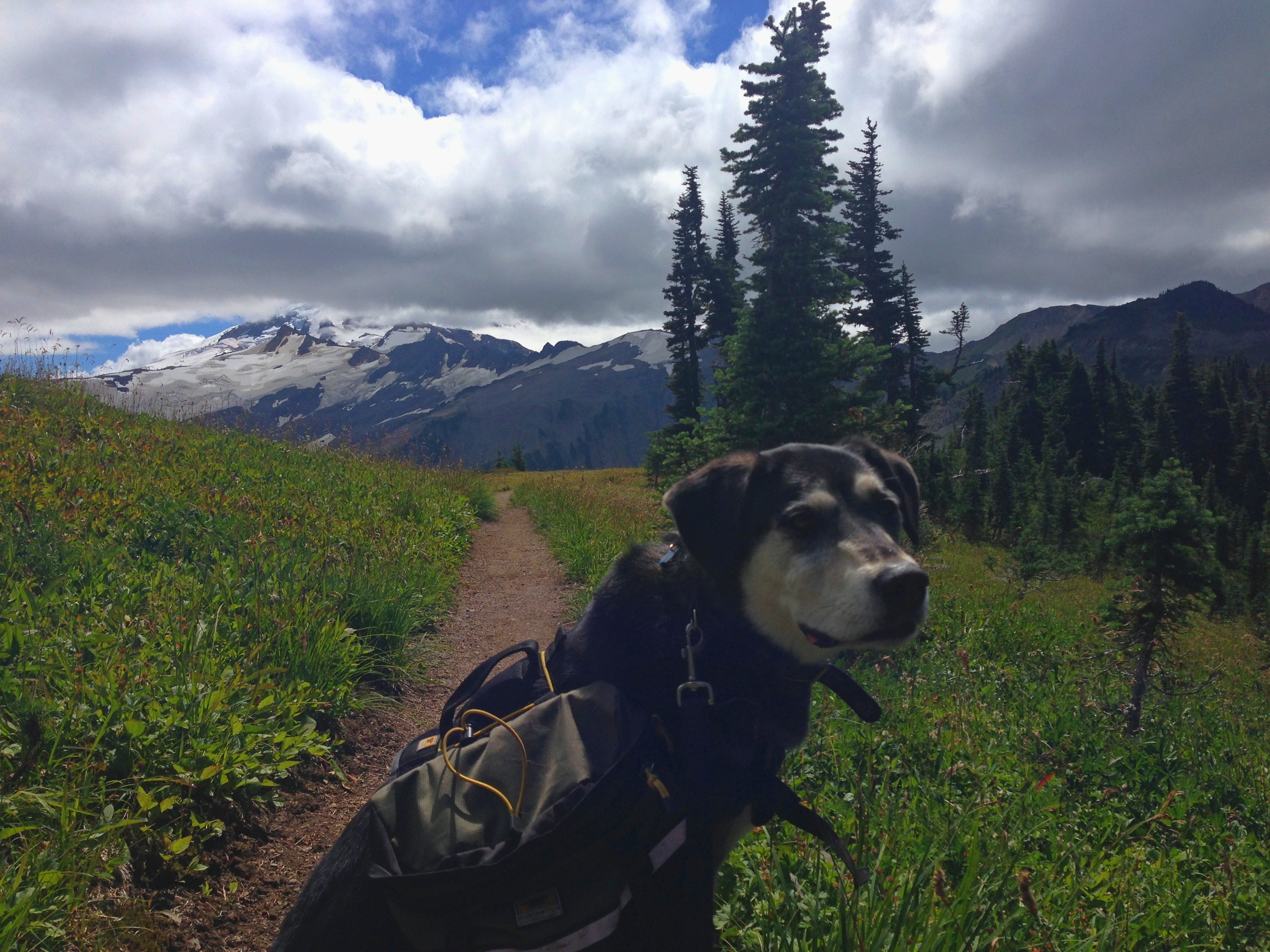

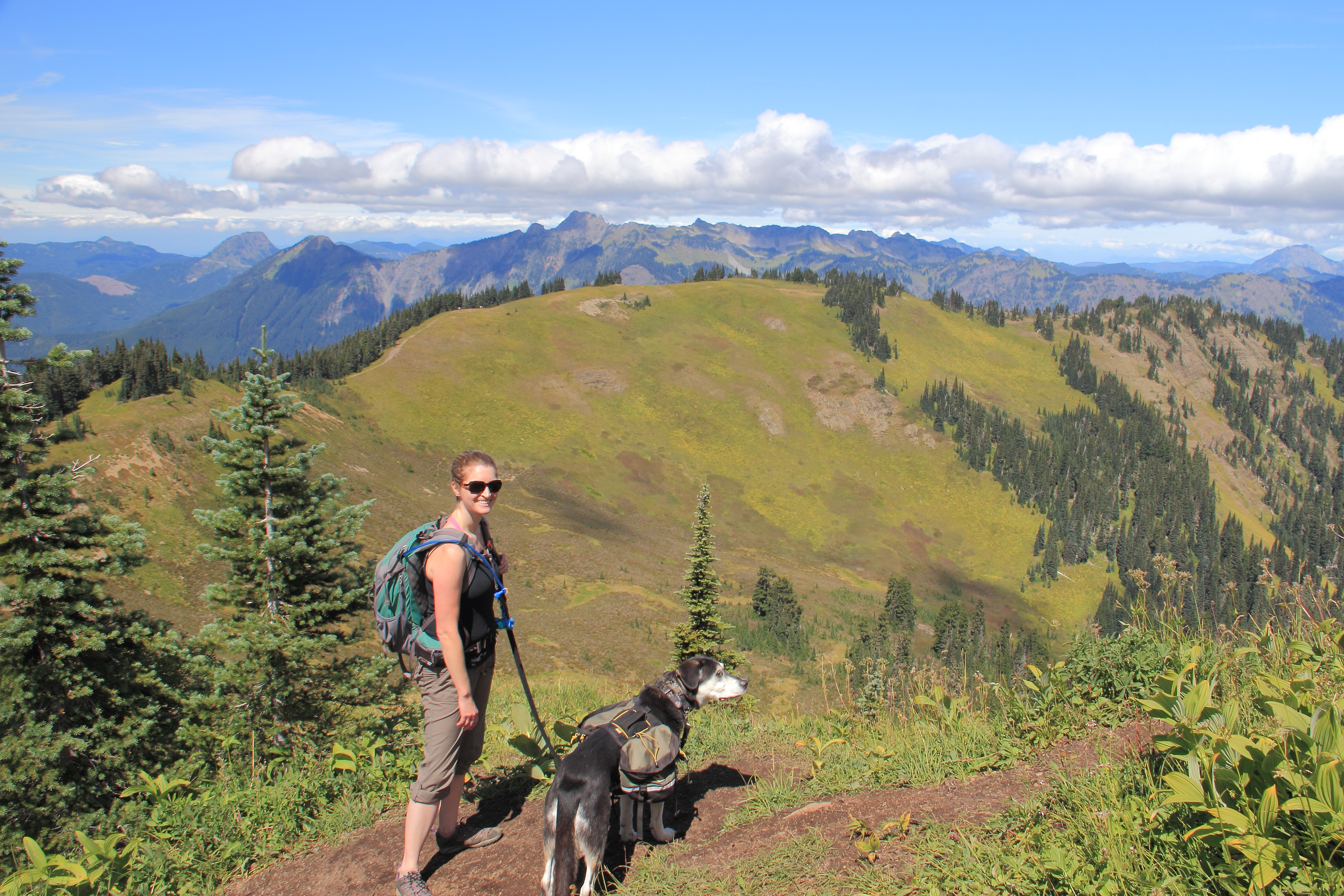
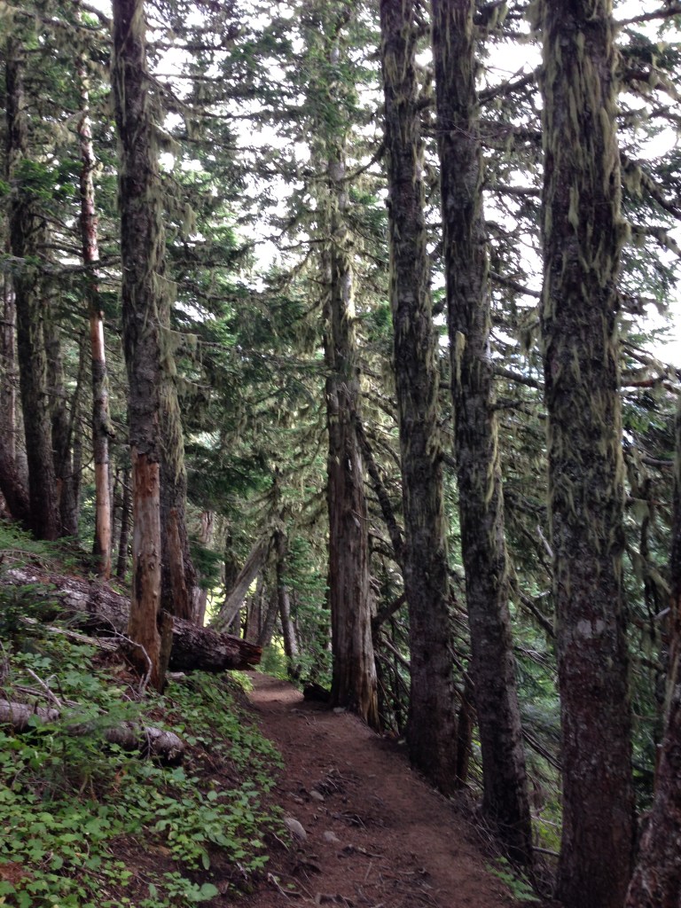
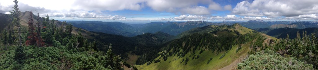
As per usual the trail begins in the tree’s. If you choose your day poorly the mosquitos and biting flies will motivate each step. They can be relentless in their pursuit of your flesh. This lower section ascends around 2 or so miles upward at a moderate grade before reaching the ridge line. Many choose to stop here. There’s a camp site to the left if I recall. Continuing on the trail along the ridge will not disappoint. Somehow the scenery improves with each step. The trail frequently splits along the ridge. Choose at random and see where it winds up. The official trail continues on for a bit. The terrain eventually gets more rocky and wind swept. That jacket will be appreciated here.
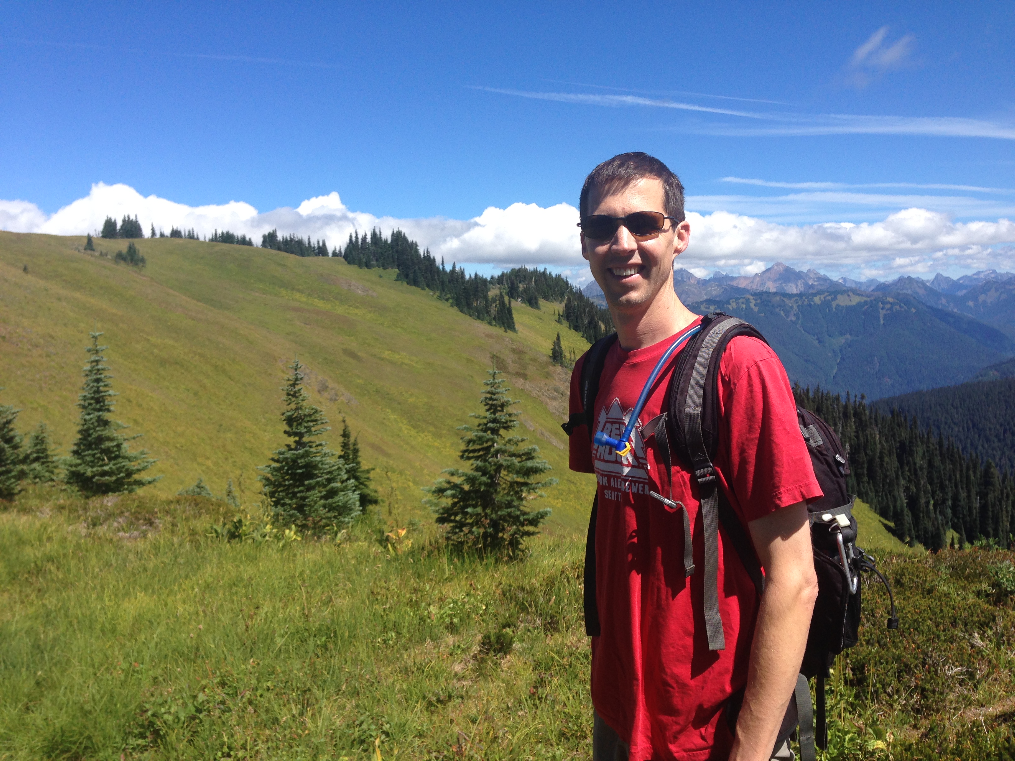
When you’ve finally soaked in enough of the raw natural beauty and your soul has once again returned to a more tranquil essence it’s time to head back. After lunch of course. Preferably tucked away from the wind while gazing upon the serene magnificence that is Mt. Baker.
Heading back downhill should be a breeze. Unless you’ve just had your wisdom teeth yanked out. I made that mistake, many years ago. Turns out those oral surgeons knew what they were talking about. Dang it. I wound up throwing a few clots and giving myself dry socket. Welp. That hurt. A lot as it turns out. Don’t recommend dry socket. 100% do recommend Skyline Divide. Just not directly after an oral surgery.

Leave a comment