WESTERN WASHINGTON
Summary
While the old trail up mailbox peak was the stuff of legend, the newer trail provides a significantly more gradual and safer approach to this famed peak.
Trail Stats
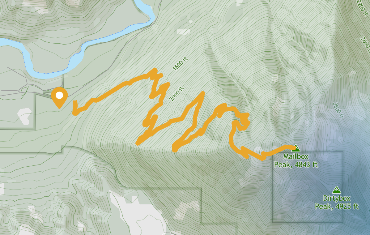
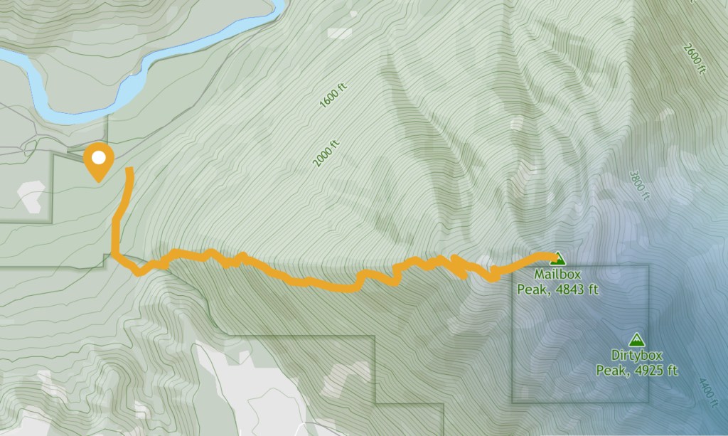
Mileage (new trail): 9.4 miles RT
Mileage (old trail): 5.4 miles
Elevation Gain: 4,000 feet
Toilet at trailhead: Yes
Sandwich Spots: Yes
Parking: Designated Lot
Mileage/EG from WTA.com
Trail Details
Eons ago we heard whispers of Mailbox Peak. Back then, there was only the old trail and we were novice hikers. We were not frequenting the hills quite yet. Though both of us were, and still remain, smitten with the natural wonders of the great outdoors. Bonus, it keeps me “nice”. I’m much happier and more pleasant to be around if I’m allowed to free range a bit. I don’t like being cooped up. Maybe it goes back to being banished from the house during the summers as a kid. It’s nice. Go (and stay) outside.
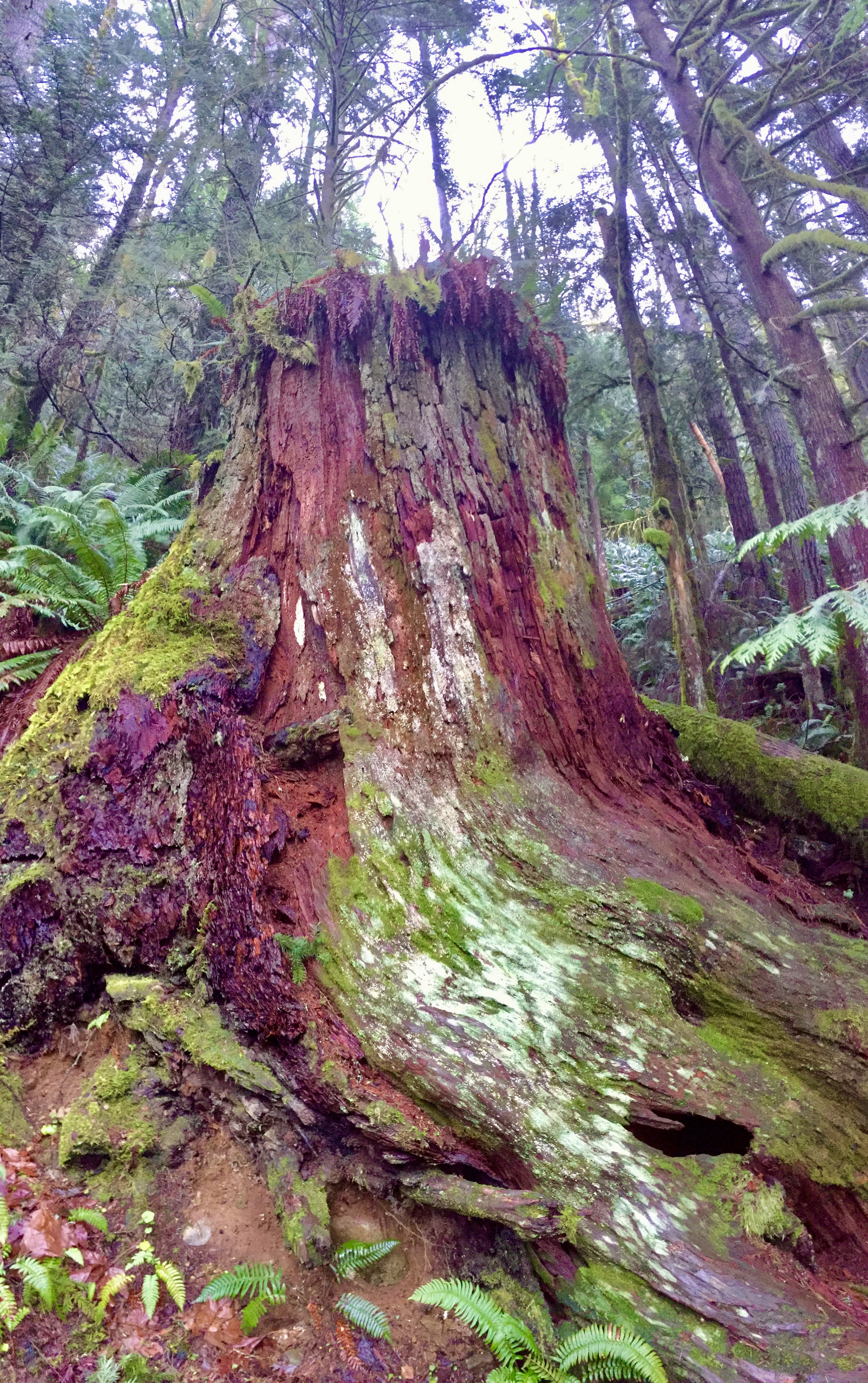
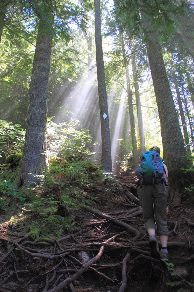
The old trail climbs 4K feet in 2.7 miles. There are no switchbacks until it meets up with the new trail near the apex. After a brief, deceptively gradual start, the trail goes unrelentingly straight up the mountain. It was an ugly trail. Roots are essentially the trail bed. So many exposed roots. Accompanied with often sodden or loose soil. Makes for fabulous footing.
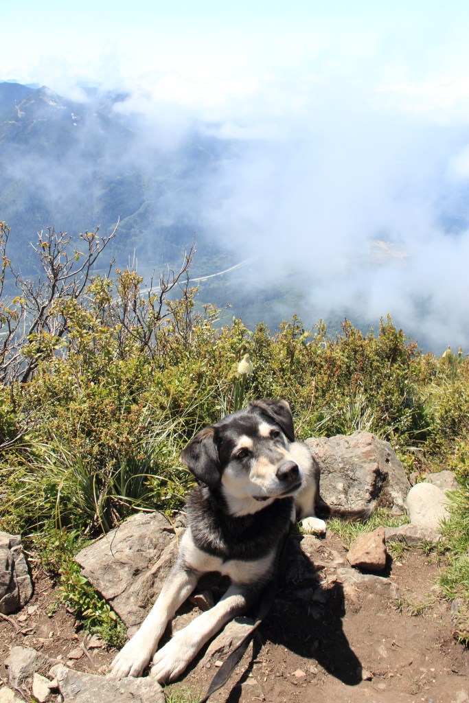
We chose early June for our attempt, and consequently were spared most of the slick muck known to adorn the trail. Was it smart to attempt this one? Of course, why not? Especially back then with our young, healthy, cartilaginous joints. We were up for the challenge. So was the dog. She was young and full of relentless energy back then.
The new trail is safe and boring. In 4.7 miles you’ll climb the same 4K feet. BORING. And much safer. So, probably highly advised. I know there were quite a few rescues required on the old trail. I fully understand why that would be. Still. Summiting Mailbox Peak on the new trail is not the thing of legends.
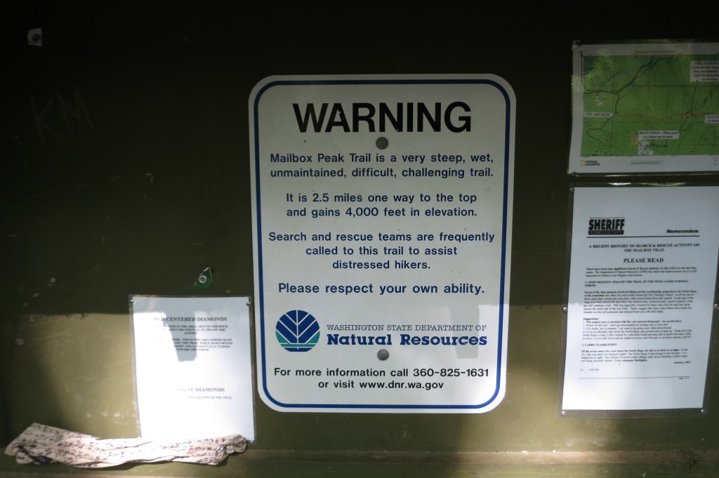
The new trail begins at the exact same location as the old. You can’t accidentally divert off it. Though, if one desires to summit via the old trail there’s a pretty clear sign warning hikers of the difficulty. Turn there. That’s the old trail as I recollect. Follow the reflective markers nailed to trees if you loose your way. Maybe save the knees and take the new trail back down.
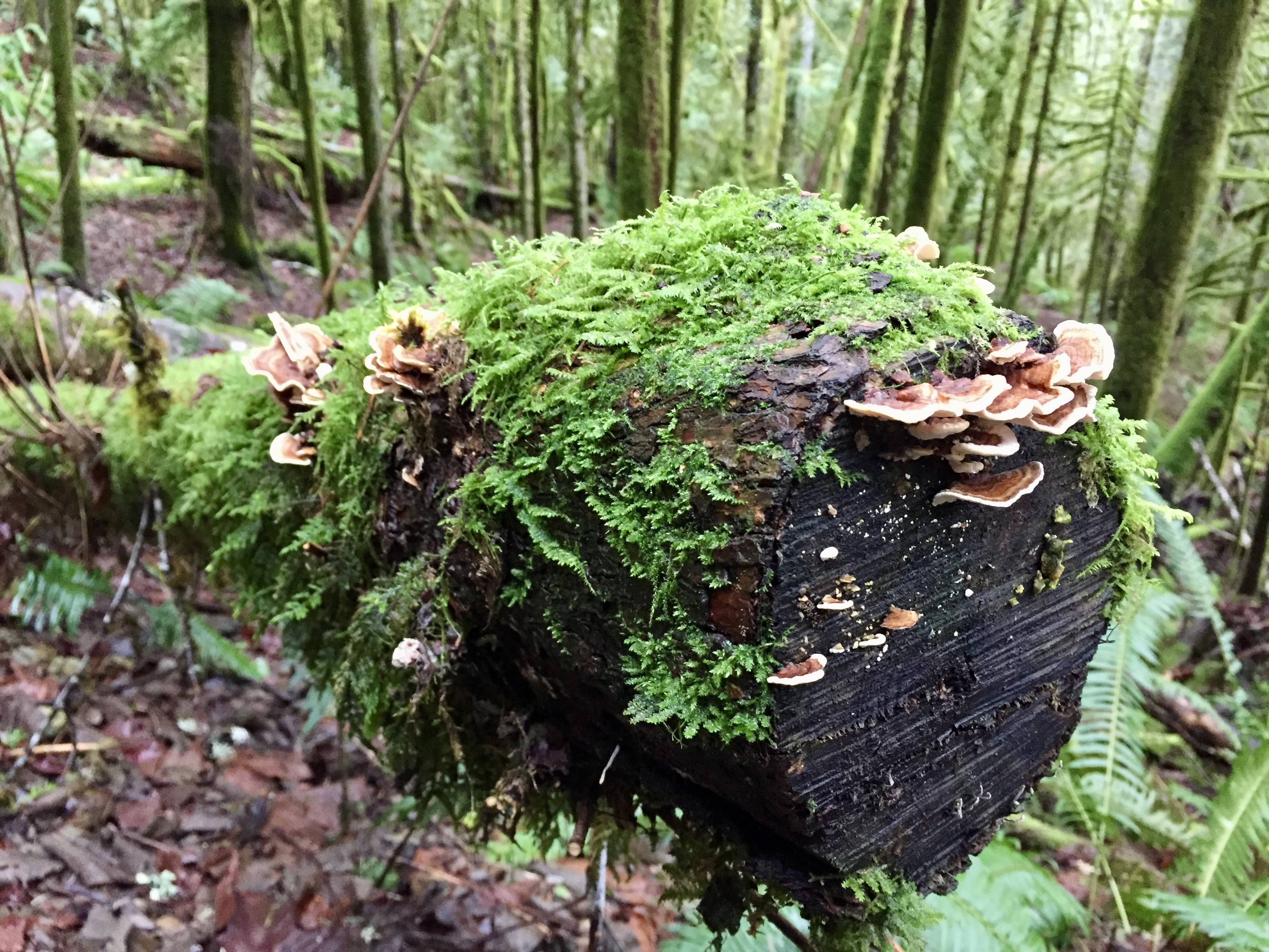
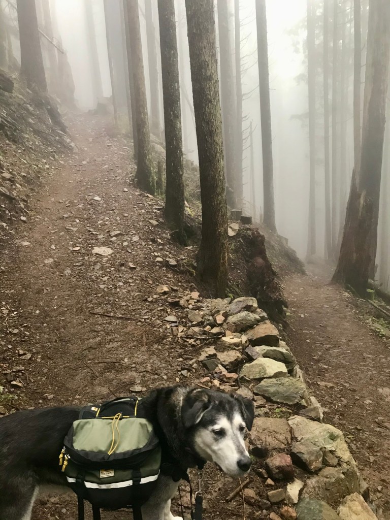
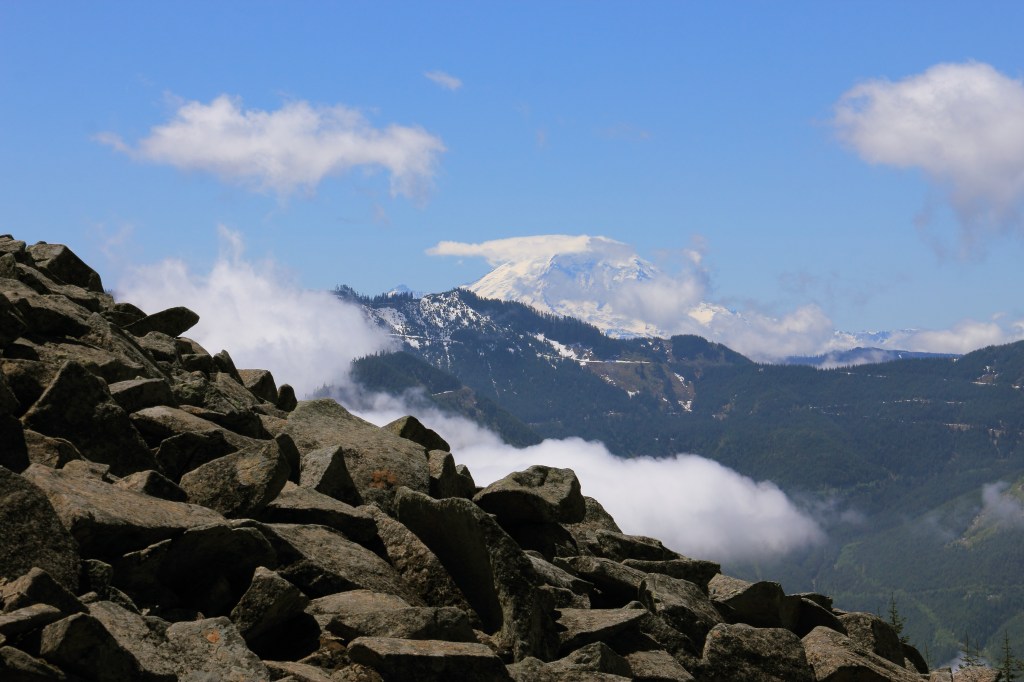
Both trails are mostly in the woods with limited views. Somewhere around 4 miles the new trail meets up with the old. There’s a switchback or so. You’ll enter a talus field where you can catch your breath and look around a bit. Keep going.
One winter we set out on the new trail to see what all the hype was about. We made it partially through the talus. It was insanely windy and the snow was more akin to stinging ice pellets blasting you in the face. It was cold. I was cold. I could no longer feel my fingers. I have terrible circulation in my fingers. They were turning that weird grey/white that happens with Raynaud’s. No bueno. AKA not a happy girl. We turned back. My face was much happier in the shelter of the tree’s. My fingers took a bit longer, but hey, I still have them all so no foul.
As expected, the last quarter mile up is punishing. The trail rises to new heights on an impressive vertical trend. If your legs weren’t burning before, they likely will now. Sometimes, I play mind games with myself in these situations. I count steps and refuse to stop until I hit a certain number or, look ahead and tell myself I can pause at that rock/tree/stump. Whatever works. These last bits tend to be humbling and grueling.
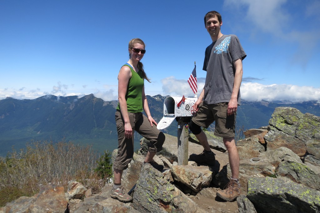
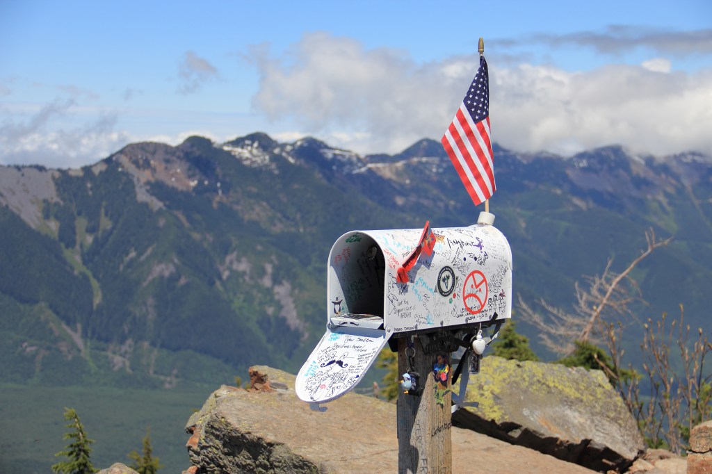
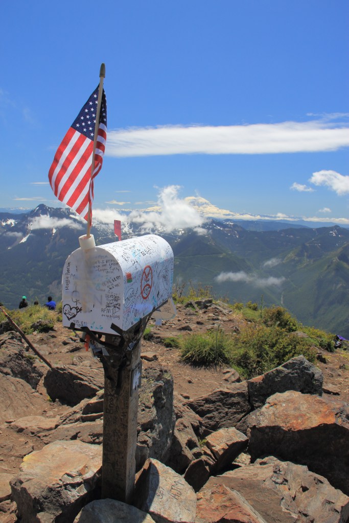
Reaching the crest, you’ll be rewarded with expansive views and the mailbox. Curious thing that. Never know what you’ll find in there. Generally there’s a little notebook to write your name in and a few trinkets. Sometimes there’s a snack. I’m not one to run out of snacks but hey, if you’re hungry, that’d be the most delectable questionable snack you’ve ever eaten!
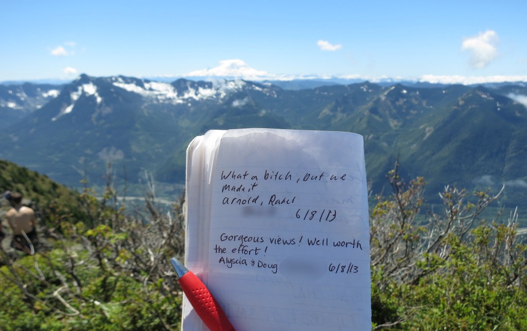
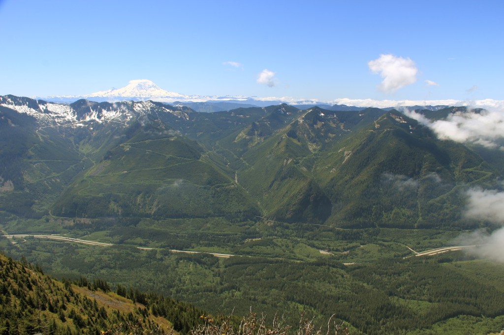
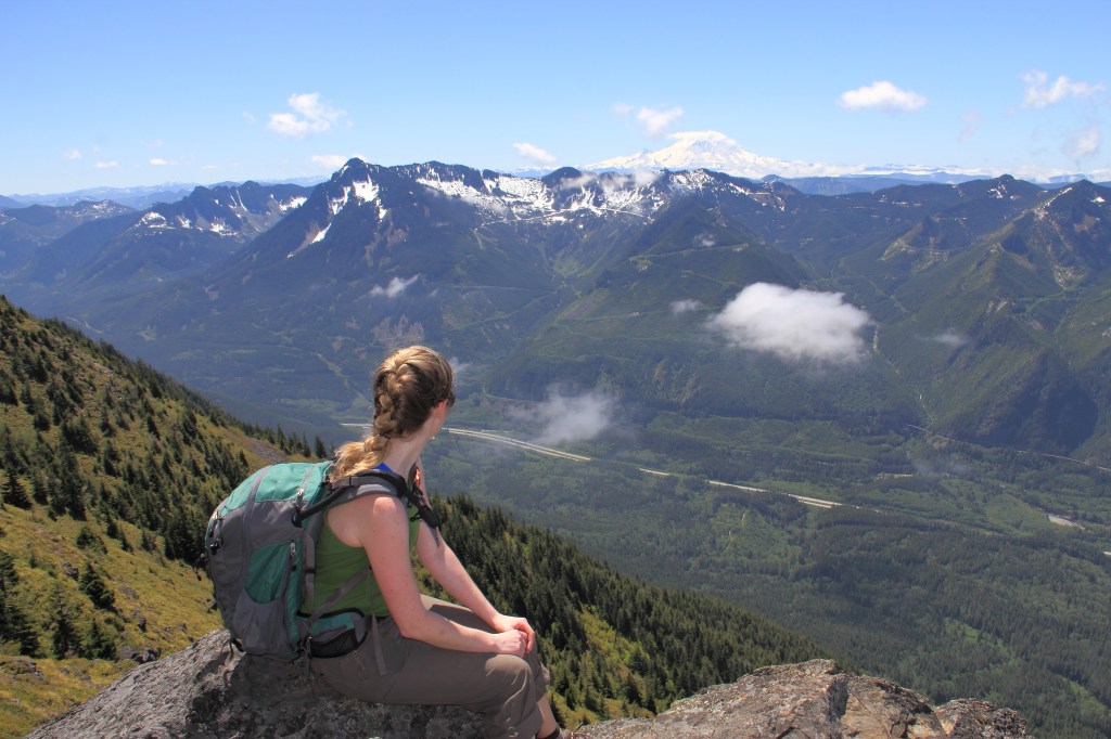
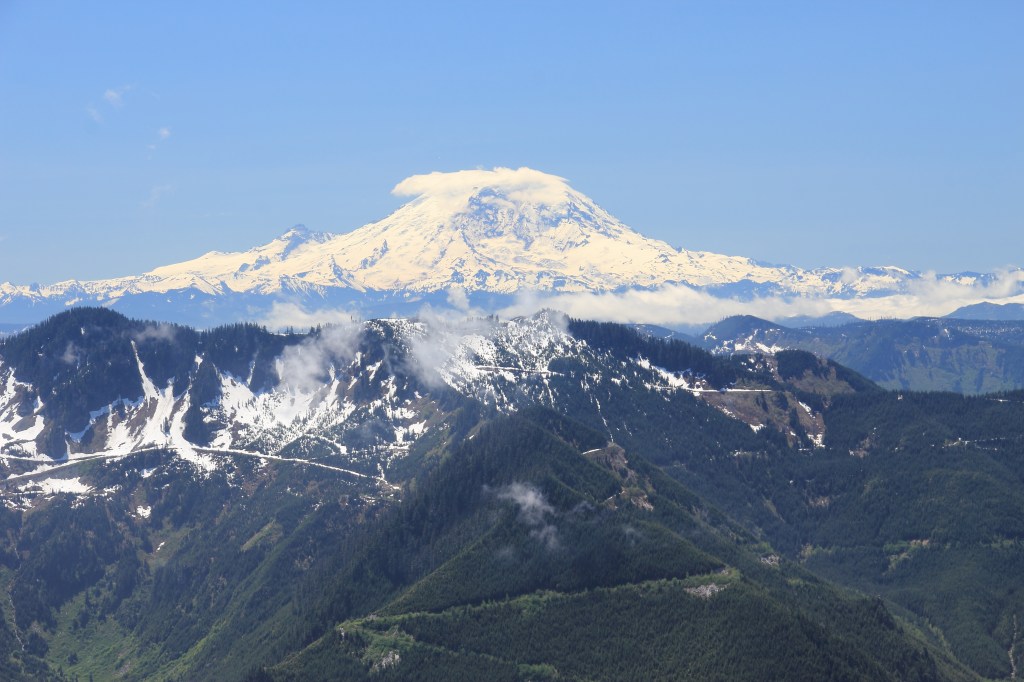
Relax and soak in the views. Hopefully it’s a nice day. Preferably sunny with a subtle breeze. We had perfect weather on our hike up the old trail. Relatively clear skies. Mt. Rainier will take your breath away in the distance. Such a stunning volcanic peak. One never tires of that majestic view. This is where the best sandwich spots are.
From your carefully selected perch you can listen to the gasping and wheezing of your fellow hikers summiting. We heard, well before we saw, one rowdy gentleman vehemently complaining about being drug on this hike and being coerced into doing “white people sh*t” and never having hiked before. I swear you could hear him for the entire last quarter mile or more. Promptly followed by, “OH WOW” upon reaching the summit. His tune took a 180 degree turn and he was the happiest (albeit tired) man on Earth. It was hilarious. The old trail, in his defense, remains brutal. And what kind of sadist chooses that trail for their friend’s first ever hike? On the plus side, most every hike from there on out will seem remarkably undemanding.
Descending the old trail can be a hair raising experience. The ground drops beneath your feet at an alarming pitch. I frequently used surrounding tree’s to grasp and swing between, effectively reducing my speed. That was rather fun. Laughed quite a bit at our overt ridiculousness.
Regardless of which trail one chooses, Mailbox Peak rewards your effort with staggering views. You’ll rack up the same elevation gain no matter which you decide on. I’m sure the official new trail is what the forest service and search and rescue would prefer you take. They made the new trail for an exceedingly valid reason. Plus, you’ll get a lot more steps in that way.


Leave a comment