WESTERN MONTANA
Summary
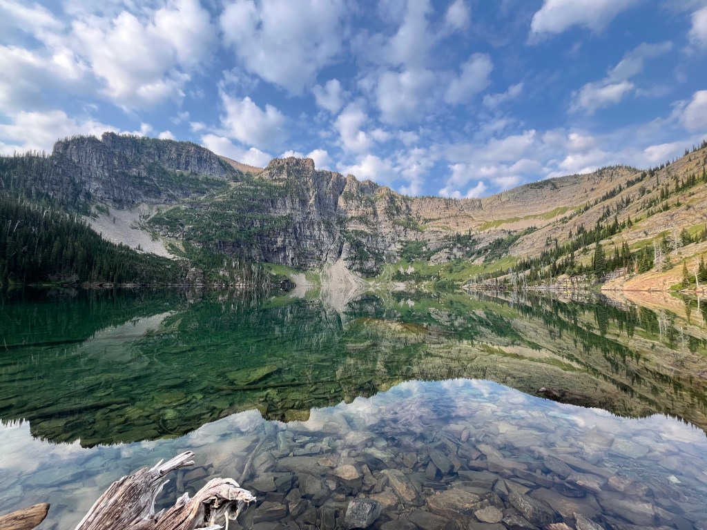
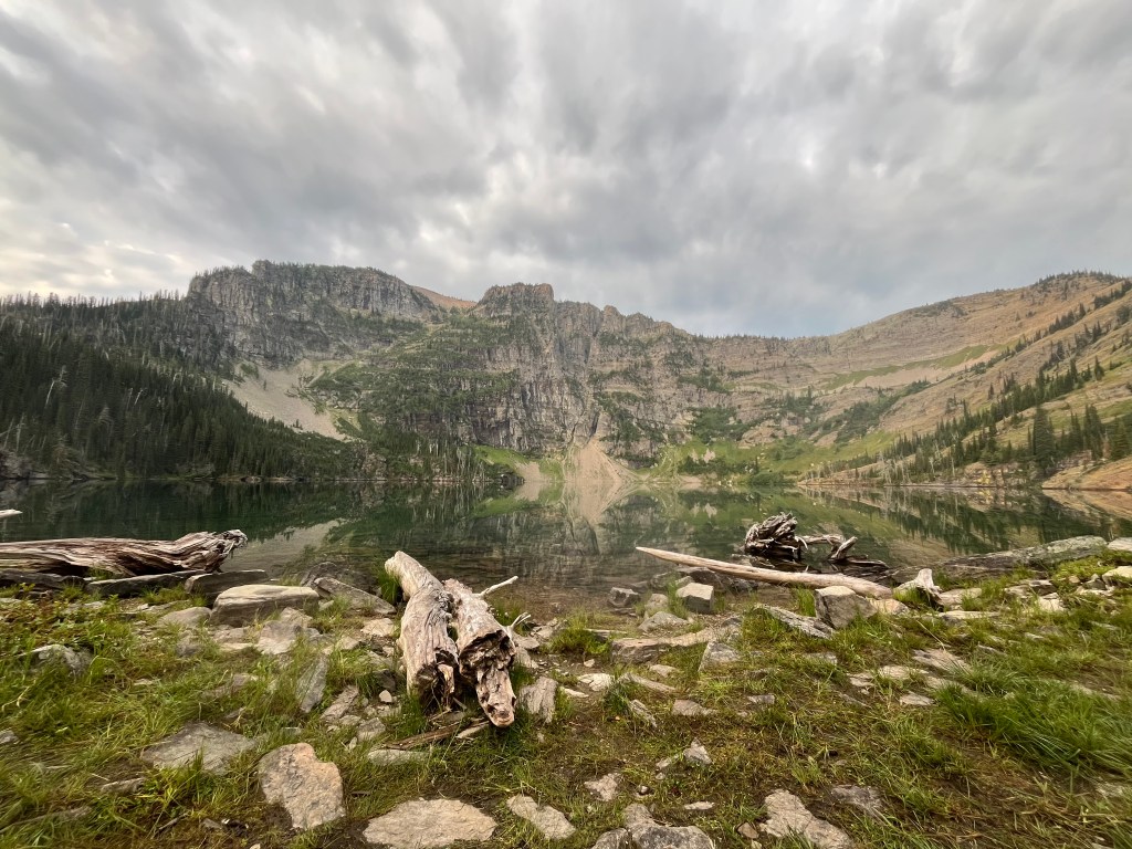
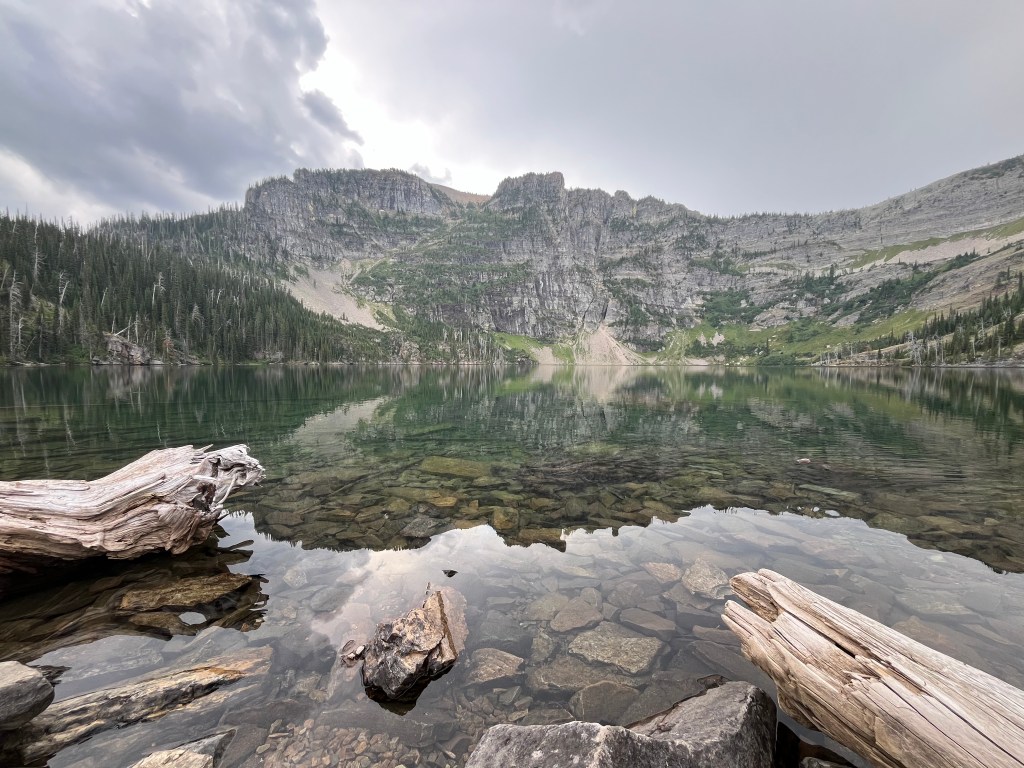
Thousand foot cliffs plummeting into alpine waters provide a spectacular backdrop for Upper Cedar Lake. Cozily nestled in the Cabinet Mountains this gem of a lake is well worth trekking ever upward through the valley floor.
Trail Stats
Mileage: 5.85 Miles (one way)
Total Elevation Gain: 3,051 ft
Toilet at trailhead: No
Sandwich Spots: Yes
Parking: Designated Lot
Mileage/EG from Garmin Watch
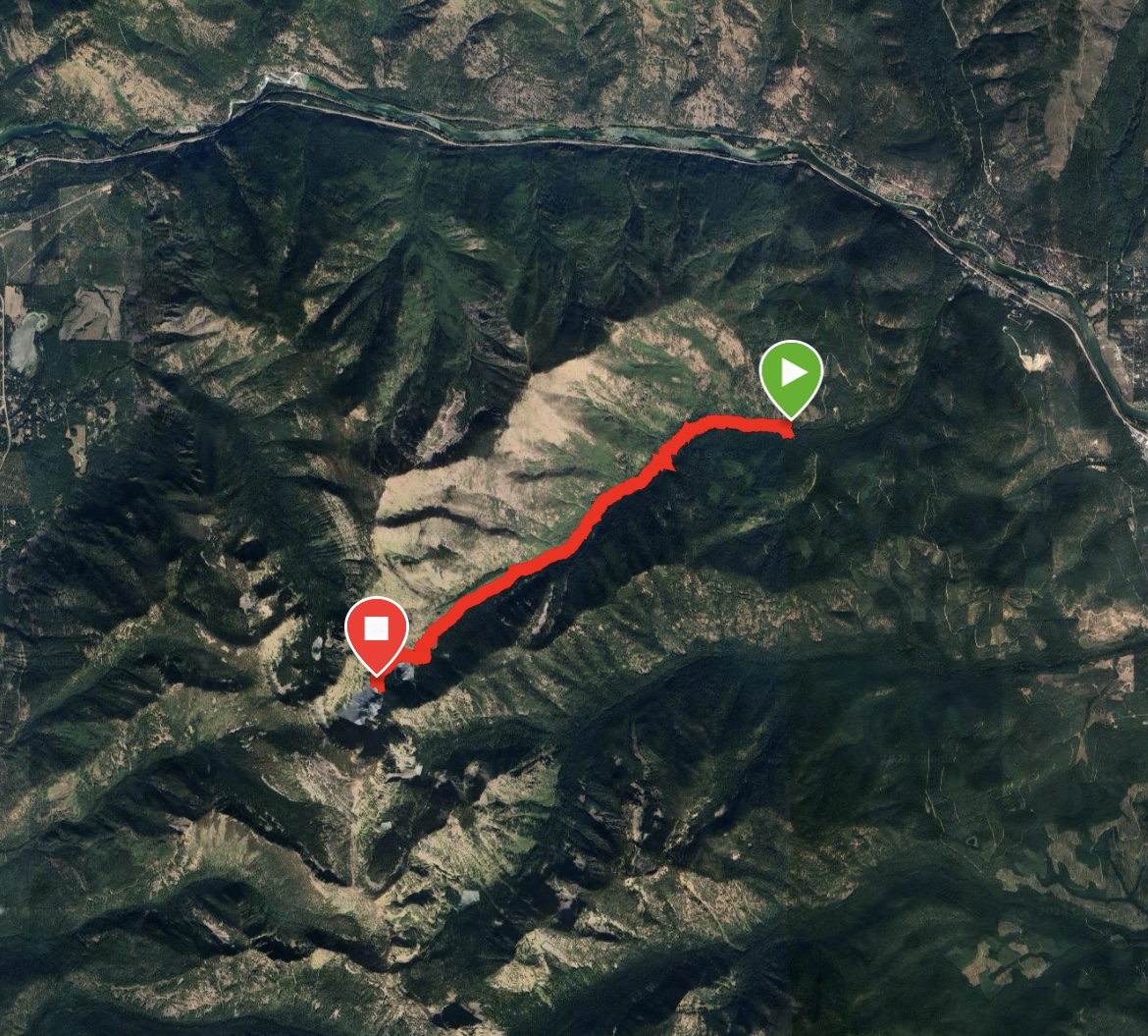
There are a variety of trails one could take with Upper Cedar Lake as the destination. As both times I’ve gone I lugged a pack on my back equipped for an overnight stay or two, we choose the shorter route, shy of 6 miles. Let’s not over exert ourselves.
The trail begins at the aptly named Cedar Creek Trailhead (141). Lots of Cedars through the valley you will be climbing. There is a small parking area and no bathrooms. Bring a shovel as needed. There are no potty’s period. Please, please, please follow the basic guidelines in this regard. Let’s not spoil the area and waterways.
Our first trip included an entertaining encounter with forest service personnel. They stopped by and offered for us to use their practice bear spray. We’ve always carried spray but (thankfully) never used it. As the conversation went from the typical “where are you from” similarities were shortly concluded. Both Doug and this lady were from the same general area CA. She had a friend who went to the same college as Doug, whose friend wanted to be a pilot. At that point I believe something clicked in Doug’s brain. His best friend IS a pilot. Turns out this is the girl he took to his Senior year Prom. What are the odds of that? Somewhere between the sparsely populated Troy and Libby Montana, on a random trailhead at just the correct moment. My only question is how did he not recognize her sooner? Anyhow, it was quite hilarious to see on my end. Small world we live in.
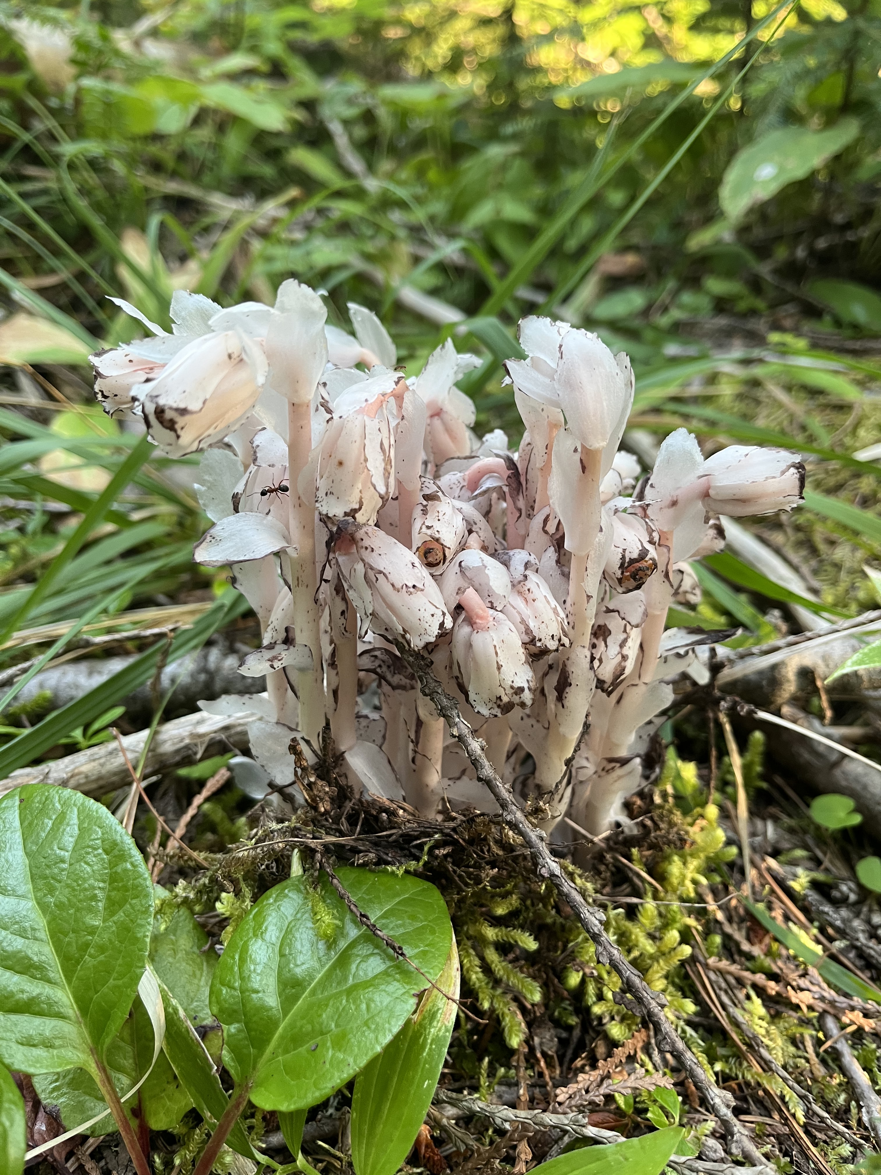
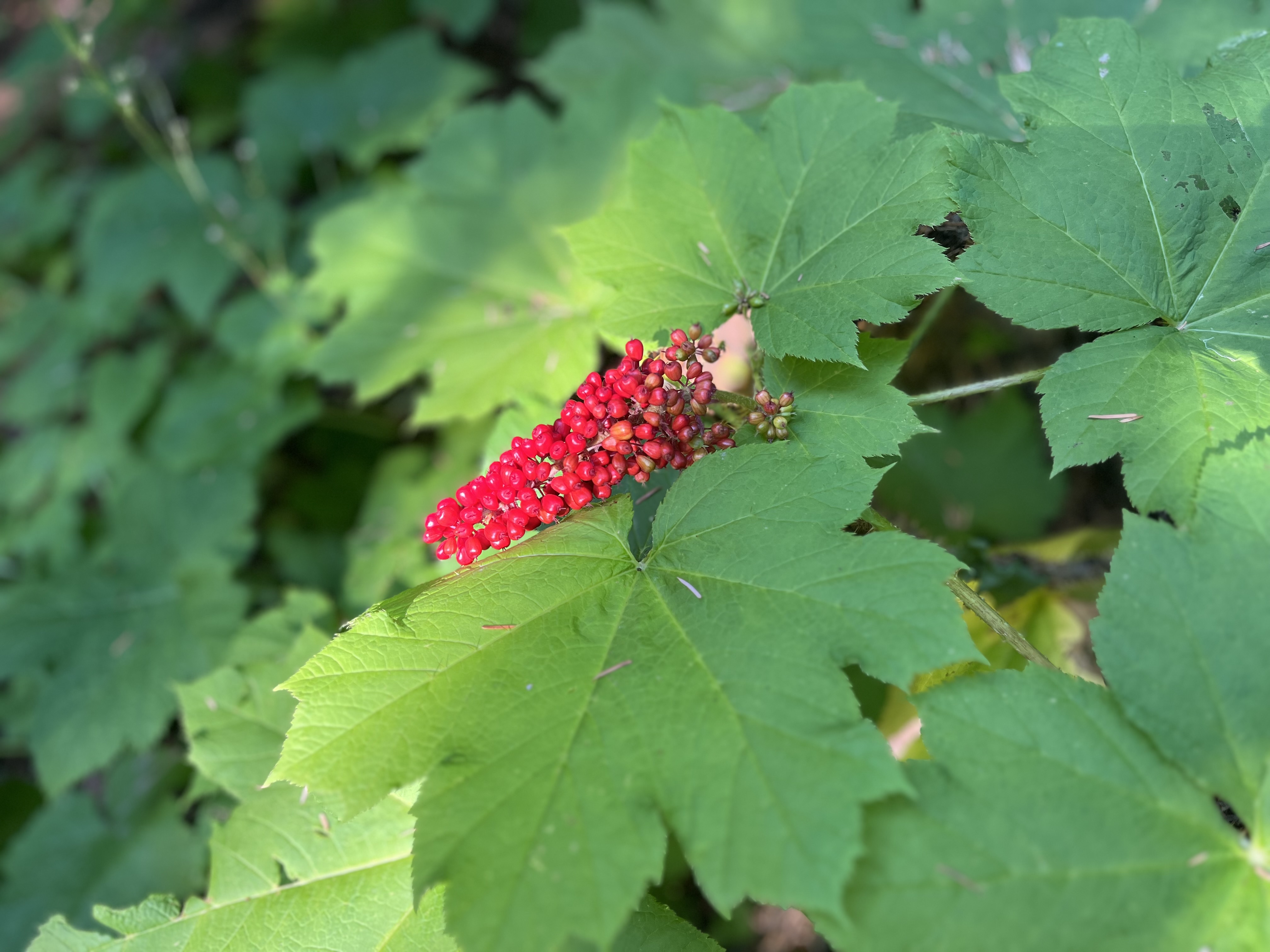
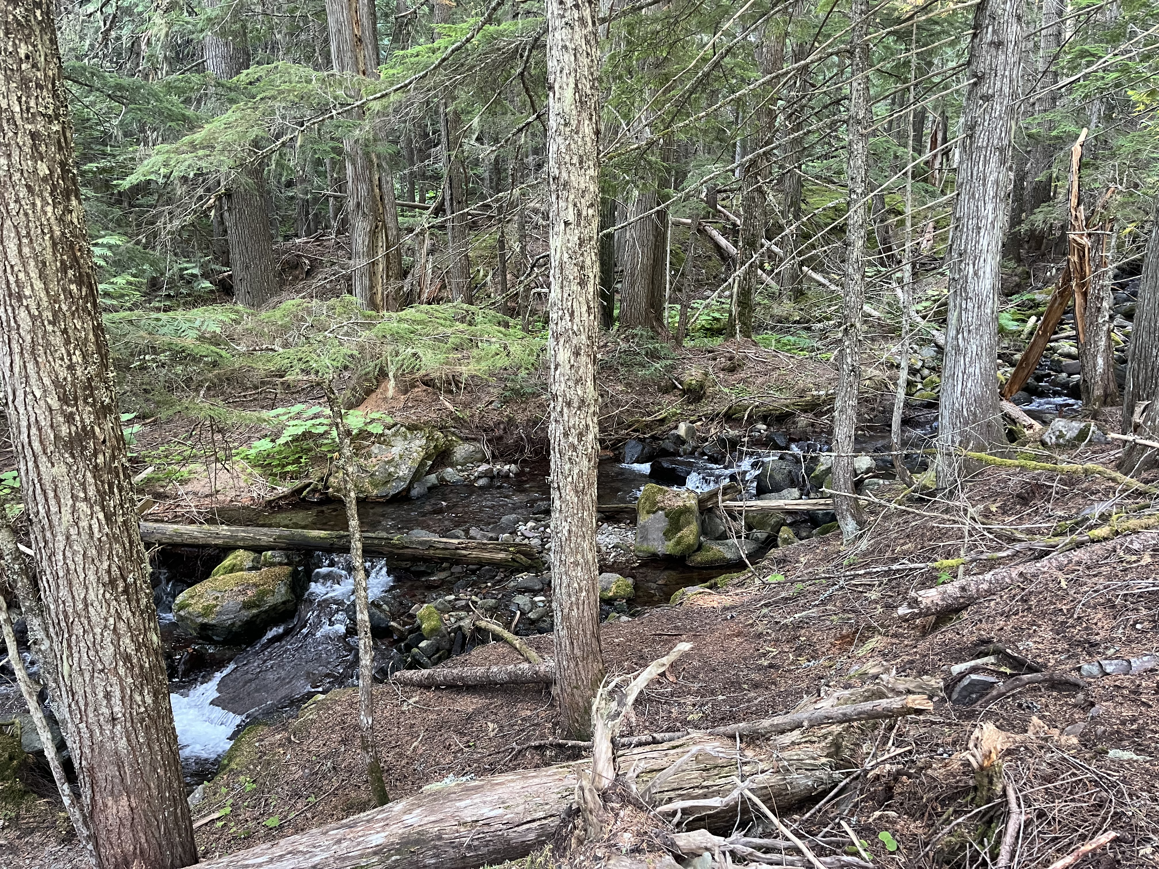
The second trip began without a reunion. We took my sister and her man out for an overnight stay. Traipsing ever upward the trail mainly parallels Cedar Creek through valley floors. Mostly shaded the trail takes off through the cedars. Views of hillsides marred by previous wildfires show just how steep the surrounding hills and mountains truly are. Huckleberries littered the hills and provided delicious treats along the way.
There are three offshoots from Cedar Creek Trail, the first is Scenery Mountain. Second is for Grambauer Mountain. Third is for Lower Cedar Lake. It is noteworthy that there is a connector trail between Grambauer and Scenery Mountain. We took this challenging route on our way back to the trailhead on trip 2.
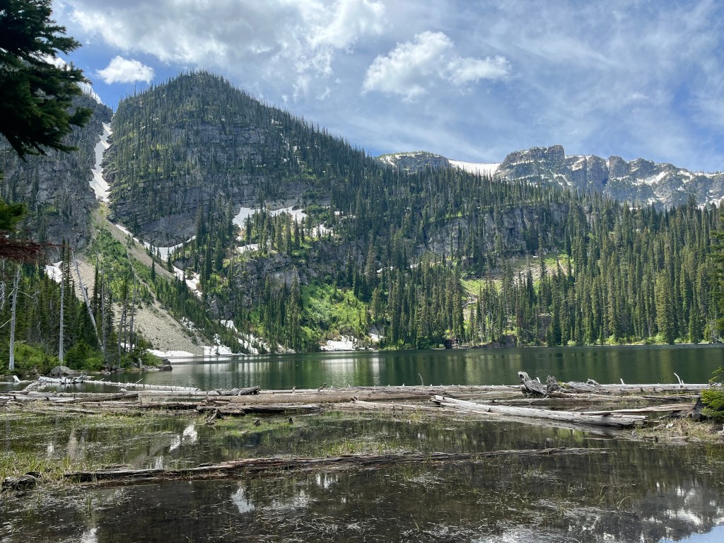
Toward the end of the trail, a marshy meadow comes into view just before Lower Cedar Lake is visible. While the lower lake is pretty I would continue on to upper lake instead of stopping. Nothing wrong with the lower, it just can’t compare to the stunning backdrop of the upper lake.
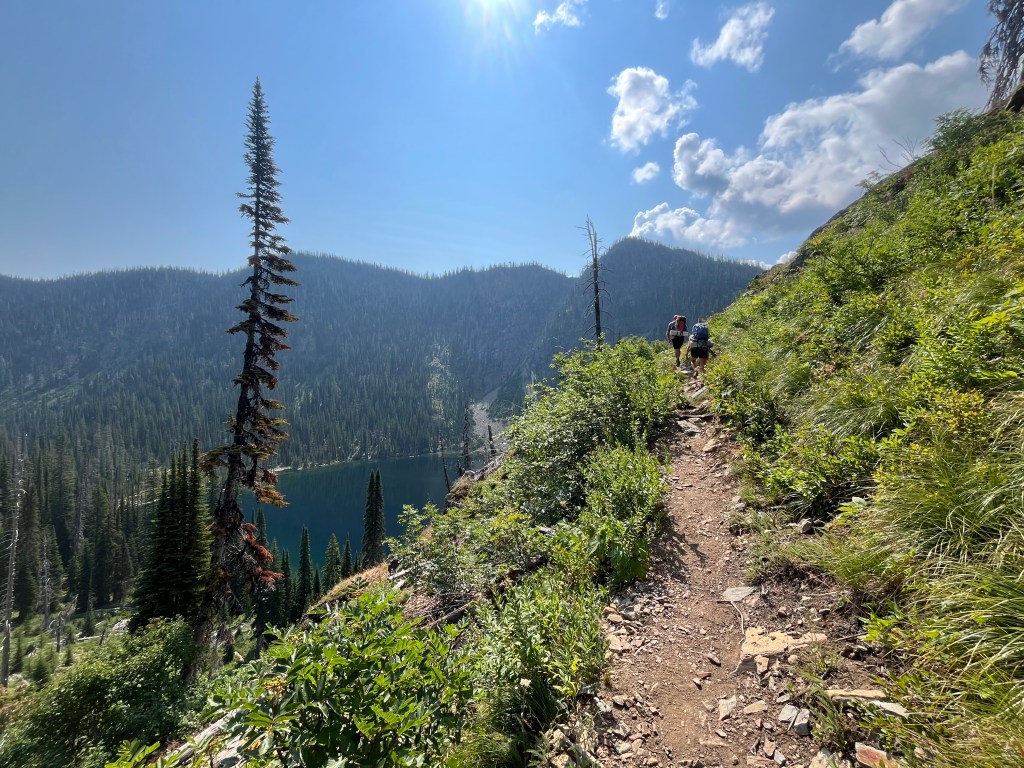
Just prior to reaching the lake the trail dead ends into the Cabinet Divide trail, or Kootenai National Forest Trail #139. Left takes you to the main camping areas along the lake and will continue on to Minor Lake and beyond. Right takes you to a few smaller campsites (we stayed here the first trip) with more privacy. This trail continues on, wrapping up around the north side of the lake toward Dome and Sugarloaf Mountains.
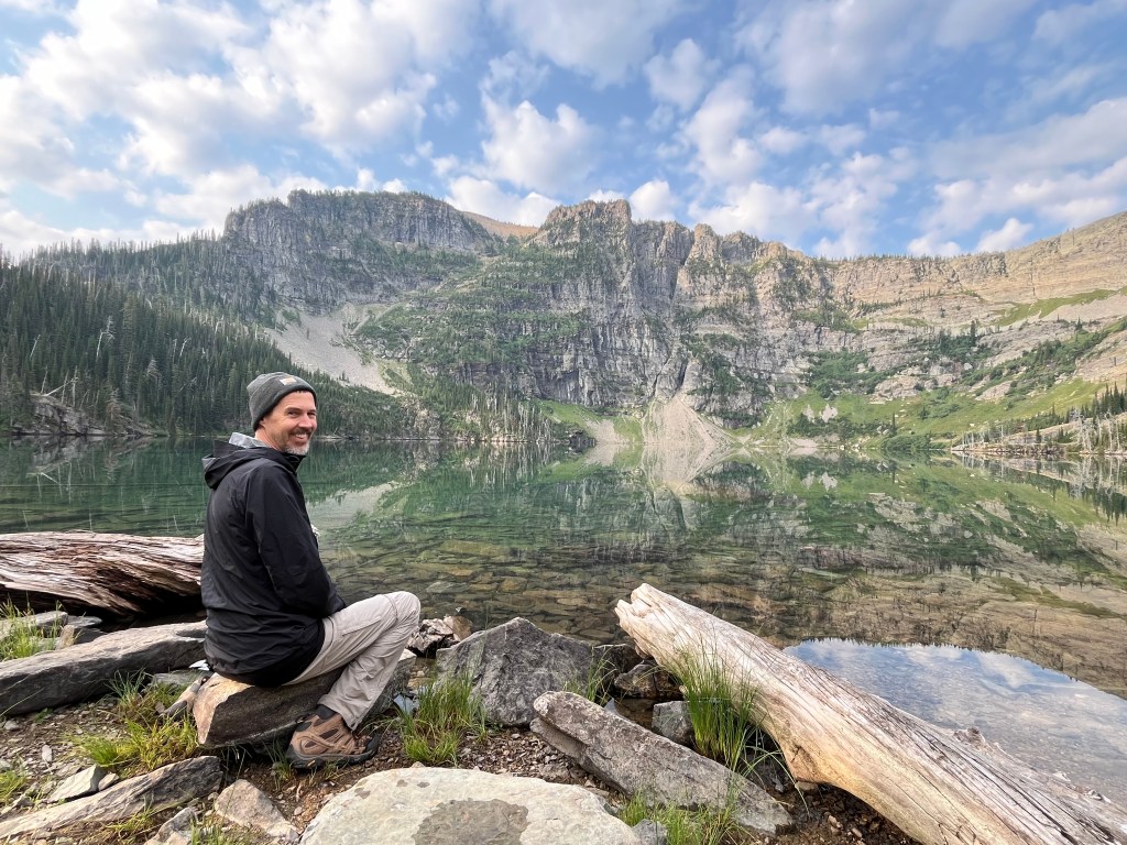
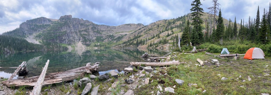
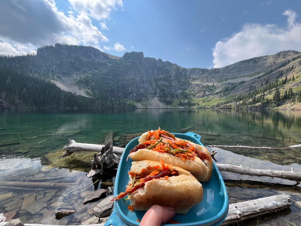
On the second trip we chose a beautiful campsite directly off the lake. Nothing quite like a stupendous awe inspiring view to satisfy the soul as we set up camp and dove into my favorite backpacking meal, a backcountry Bahn Mi Sandwich. Yum. And well deserved after slogging those packs uphill. Perfect spot for a sandwich!


Leave a comment