NORTHWESTERN CALIFORNIA
Summary
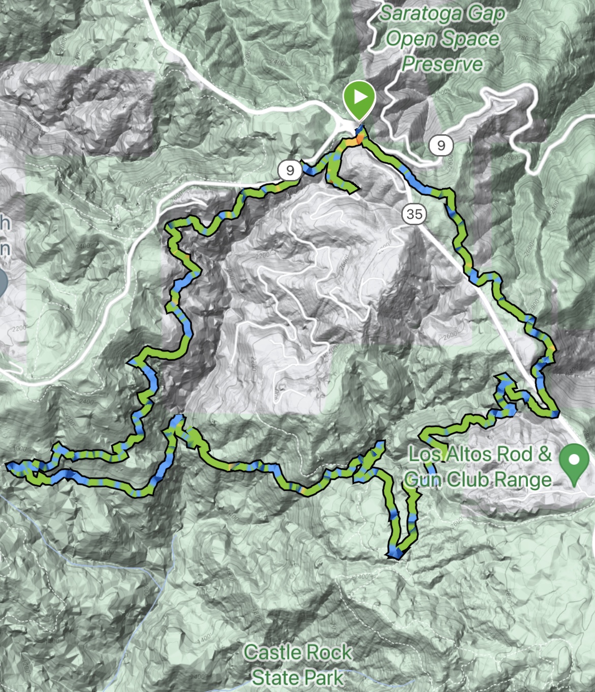
A misty walk through woods with occasional peek a boo views into the surrounding valleys. This hike provides tranquility a short drive from the city.
Trail Stats
Mileage: 9.33 Miles
Total Elevation Gain: 1,693 ft
Toilet at trailhead: No
Sandwich Spots: YES
Parking: Saratoga Gap Parking Lot
Mileage/EG from Garmin Watch
Trail Details
With a decent chunk of day to kill prior to picking Doug up from work I headed into the hills outside Saratoga. After winding up Pierce Road and Hwy 9 I was relieved to see the Saratoga Gap Parking lot. The older I get the less I enjoy those narrow curvy nausea inducing roads.
This parking lot is paved, has ample parking, waste bins and benches if one wants to sit and stare at a bunch of trees. No bathrooms. Bummer.
Skyline Trail begins at the Southern point of the parking lot (near the entrance/exit) and is well marked. The trail loosely follows Hwy 35/Skyline Boulevard South for a mile or so until crossing over said road. I will give credit, while vehicles are clearly heard, you’ll infrequently see either car or the road. They’ve done a great job keeping this trail to itself.
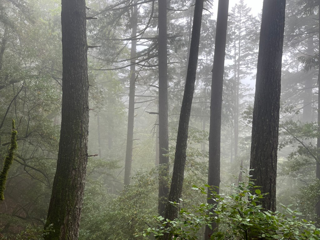
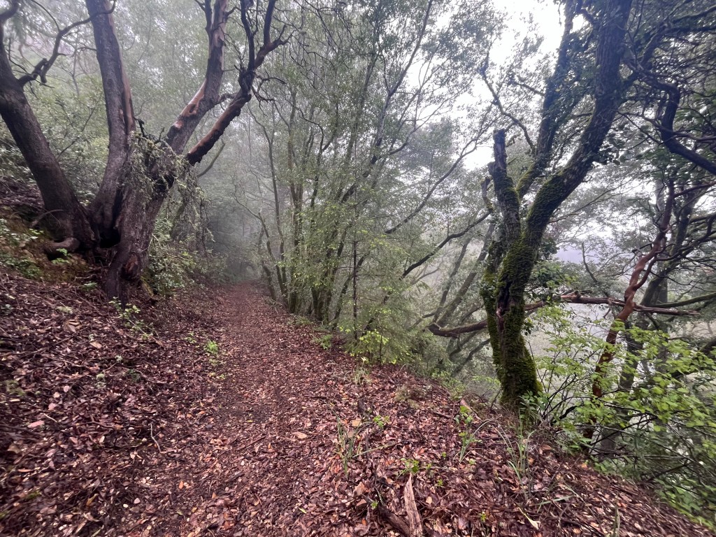
Weather patterns in this general area of California remind me of living in Seattle. Gray, misty, wet and subsequently, cold. The main difference being I expected it in Seattle. Visiting down here I always hope for better weather and consequently tend to freeze.
This day was one of those misty days. I started out with a rain jacket and never did take it off. Nothing like two days in a row of stiff frozen fingers while hiking. Still better than doing nothing. It was a day of flipping my jacket hood on (rain and drops falling from trees in the wind) to pushing it off my head because I can’t stand to have it on. I can’t hear with that thing on. And since I’m hiking alone I should probably be aware of my surroundings.
Somewhere downhill shortly after crossing Hwy 35 is the Los Altos Rod and Gun Club Range. Not that I went shooting but someone was having a grand time down there. Just be aware you’ll likely hear gun fire but the shooters are nicely tucked away in a range. Unlike hiking in hunting season back home. Never really know where they are and best to steer clear during open season.
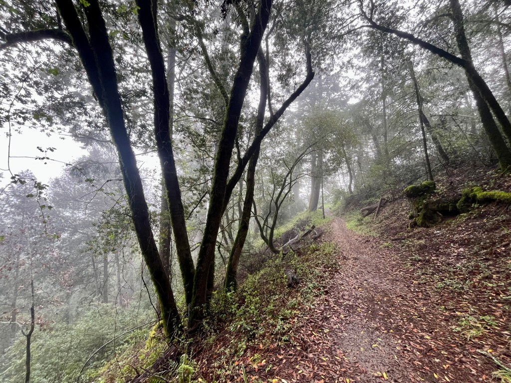
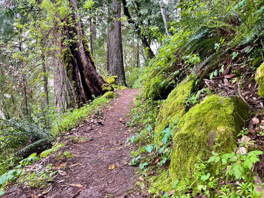
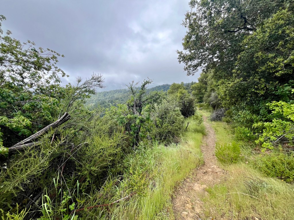
From here road noises and other signs of civilization quickly disappear as you head down a fairly gentle grade for quite some time. There was a healthy smattering of wildflowers amongst the moss and trees. At one point the trees opened up revealing that, on a clear day there’s a view across the valley. I mostly saw mist.

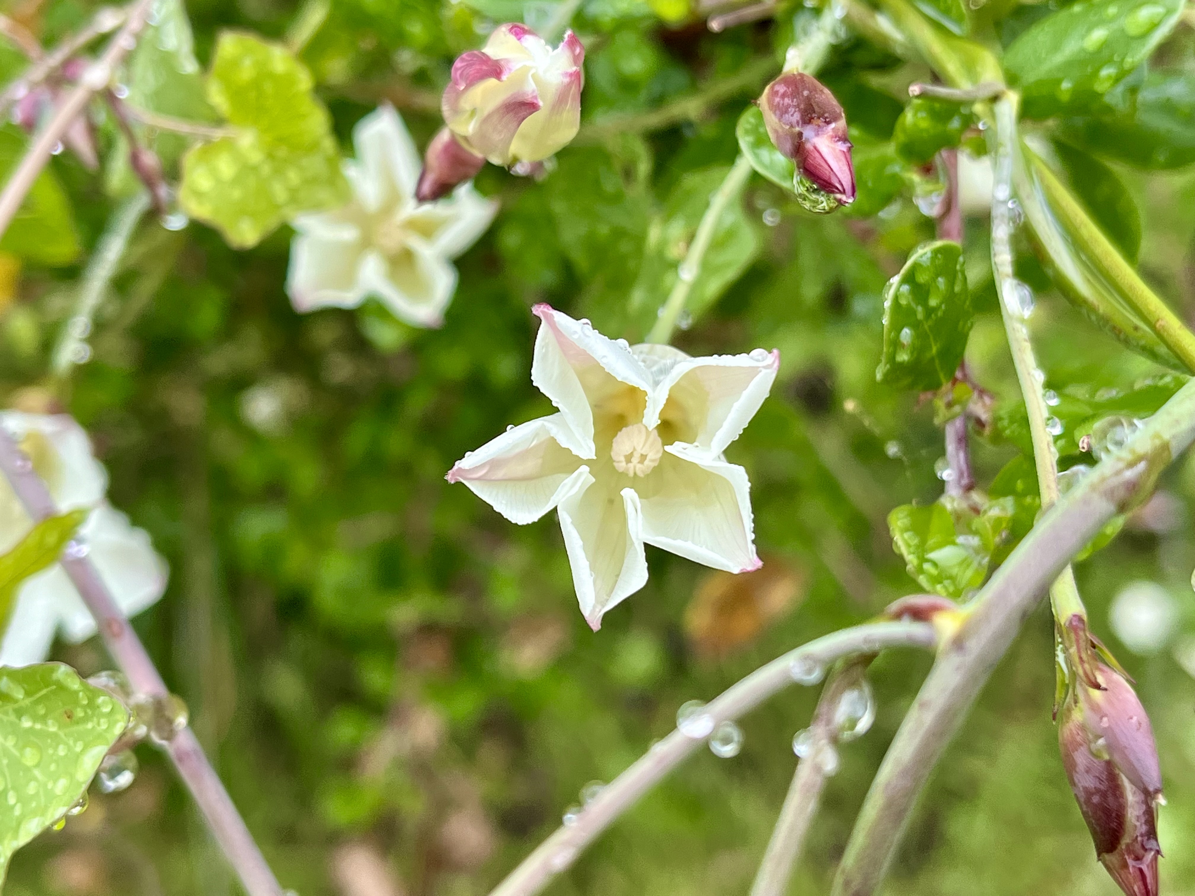
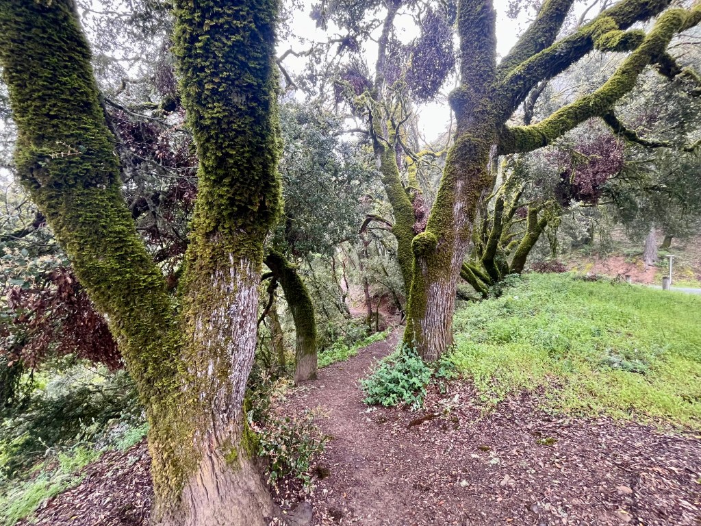
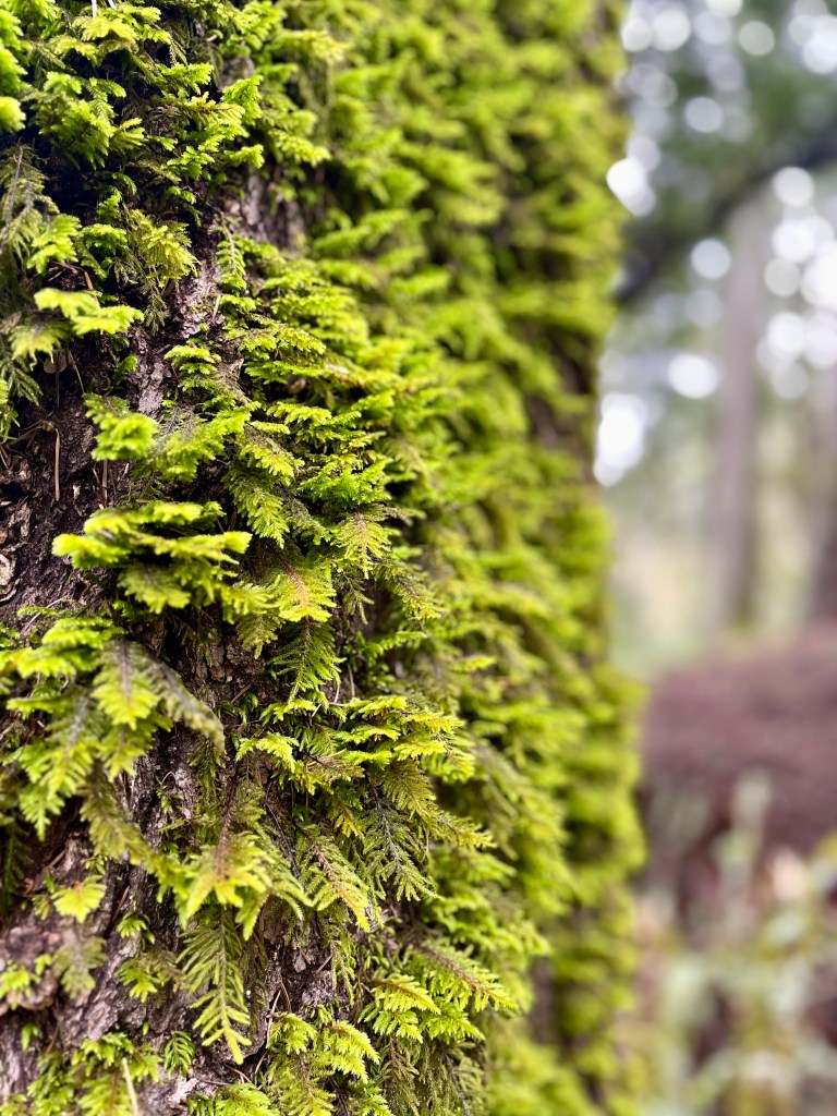
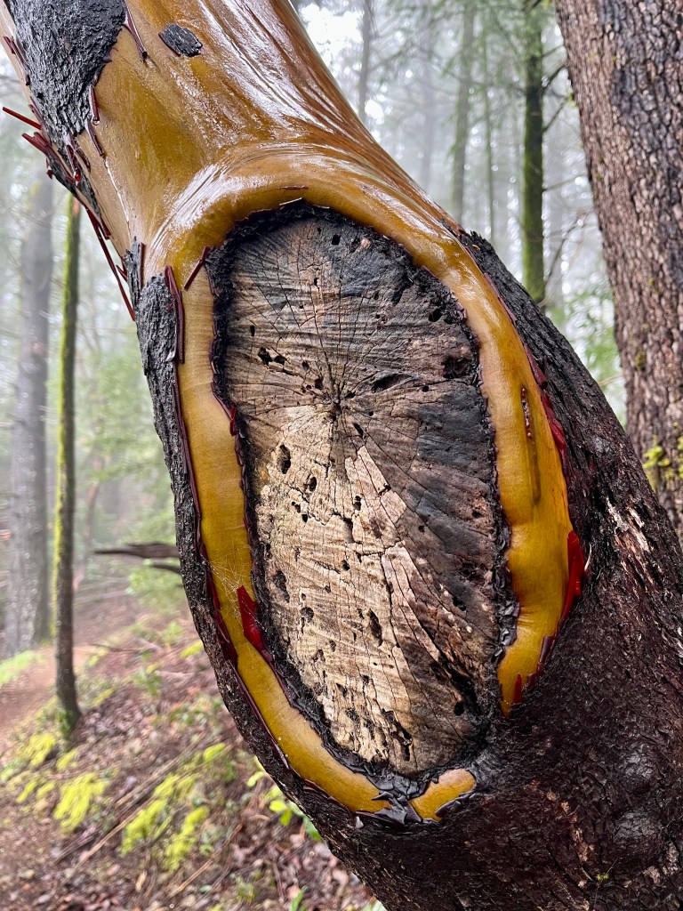
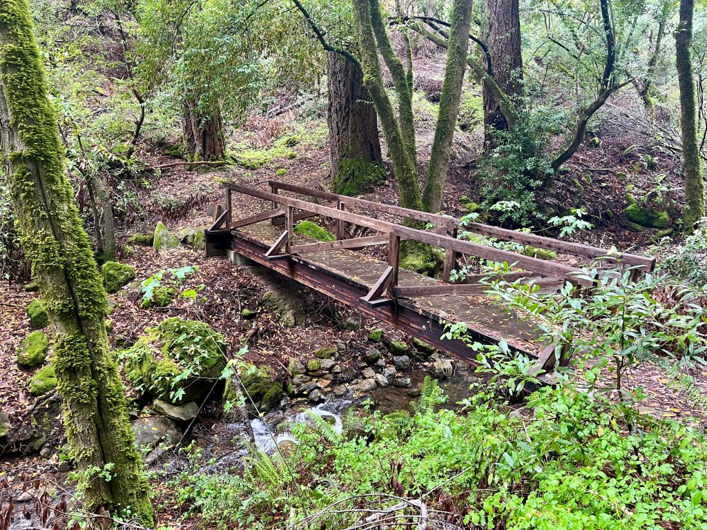
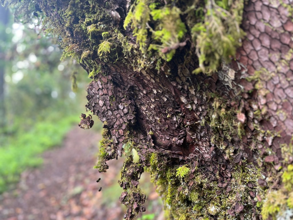
Winding around hillsides around boulders blanketed in moss with ferns all around, one does wonder if this place ever sees the sun, though it is lovely. A few times you’ll cross streams, most with well established bridges. Reminders are posted that the water is unsafe to drink. Not sure I’d want to. The second stream crossing had a slight sewage odor to it. All others smelt fine. Just earth and moss and wet. And yes, that kind of general damp earth has a very distinct smell. Not a bad one, just recognizable.
Eventually the trail pops you out briefly onto a road leading into Castle Rock Trail Camp. It’s part of a backcountry trail camp system apparently with, I believe, reservable camp sites. More importantly there is a bathroom nestled in there. And potable water should one have run out. I think I’ve rarely run out of water while hiking. I bring more than I think I’ll need.
From here I took the Saratoga Gap Trail out, though you may also take the Frog Flat trail as it will dead end into Saratoga Gap trail from the trail camp area.
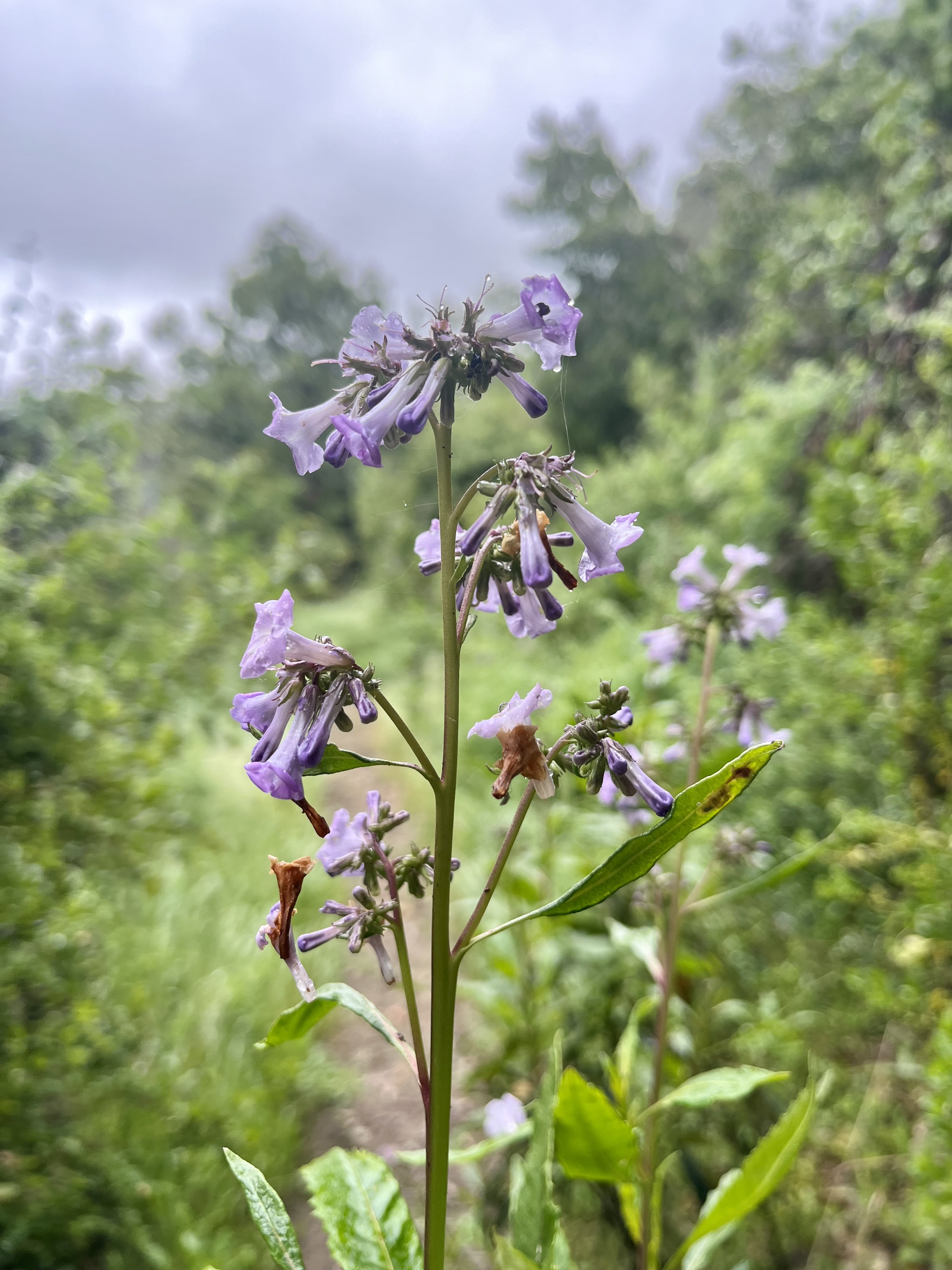
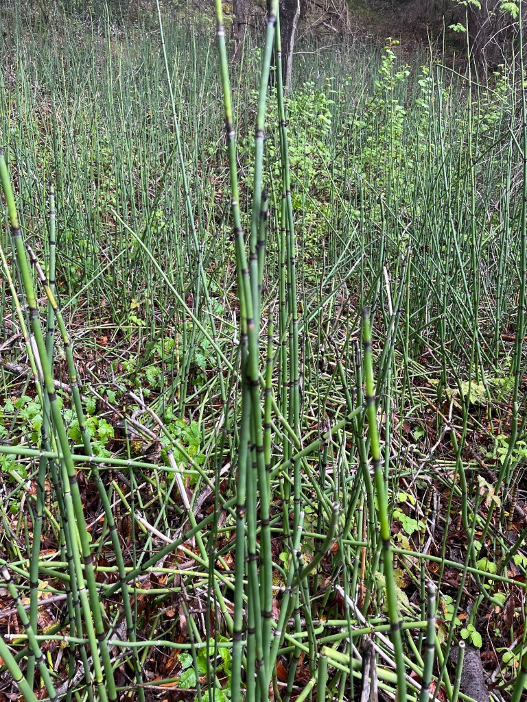
Shortly after I diverted onto Travertine Springs Trail. There are intermittent views, some pretty flowers and lots of tree’s including one of my favorites, Manzanita. They’re so pretty. For a while you’ll follow a bubbly little creek before reaching Travertine Springs. This was a wet area with lots of reeds and a small stream. Quite peaceful with a lot of birds chirping.
A little further the trail dead ends into Saratoga Toll Road Trail, where I turned right to head back to the parking lot. It was just past here a few paces and a little over 6 miles into my hike that I saw my only other trail buddies. Two mountain bikers headed the opposite direction. I saw no other soul on the trail system. Solitude for miles.


Oddly enough, this section of the trail system was in the worst shape in regard to downed trees. Most were small but there was one massive one to scamper over. All of the trails had some mucky spots and parts that were mildly overgrow, though nothing remotely impassable.
The trail does gradually wind its way uphill, never actually getting steep. I munched on my chipotle chicken wrap while wandering up the mist laden trail. A few places opened up with views of the surrounding hills And then I’d plunge back into the mists. Despite being cold it was beautiful.
A few very dead old cars litter the hillside in places. Interesting to look at and wonder how on earth they wound up down the gulch.

Near the end of the trail you may either go left and walk along 9 for a ways to the parking lot or turn right as I did. This mini trail takes the traveler 0.2 miles to a private road where you’ll respectfully walk uphill and out a gate to reach HWY 35 where you simply cross the road and you’re back at the parking lot. A thank you to the community that allows hikers to walk through, it’s appreciated.
And on a side note about mileage, I used three services for this hike, solely to check out the differences. All were started and ended at the same location. Interesting to see the variability between all three.
My Garmin watch reported 9.33 miles with 1,693 feet total elevation gain.
The Gaia app reported 9.57 miles and 1,464 feet total elevation gain.
The AllTrails App reported 9.7 miles and 1,660 feet total elevation gain.


Leave a comment