NORTHWESTERN CALIFORNIA
Summary
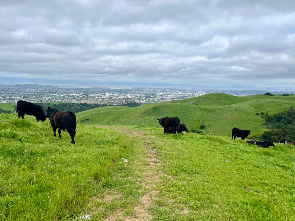
Offering a variety of trails to choose from, this park is perfect for those seeking solitude on the trail. Views include looking back over San Francisco Bay, Coyote Hills and endless hillsides, frequently dotted with cows.
Trail Stats
Mileage: 11.26 Miles
Total Elevation Gain: 2,254 ft
Toilet at trailhead: Yes
Sandwich Spots: Yes
Parking: Designated Lot
Mileage/EG from Garmin Watch
Trail Details
Finding myself once again in the Bay Area for Doug’s work, I’m left with time to kill during the day. What to do? I immediately head for the hills to escape the madness. Hiking is much less expensive than shopping after all. And I really only come down here for the food. Yum. Oh, and to escape home for a bit. And I suppose for Doug’s big work party. But definitely for the restaurants.
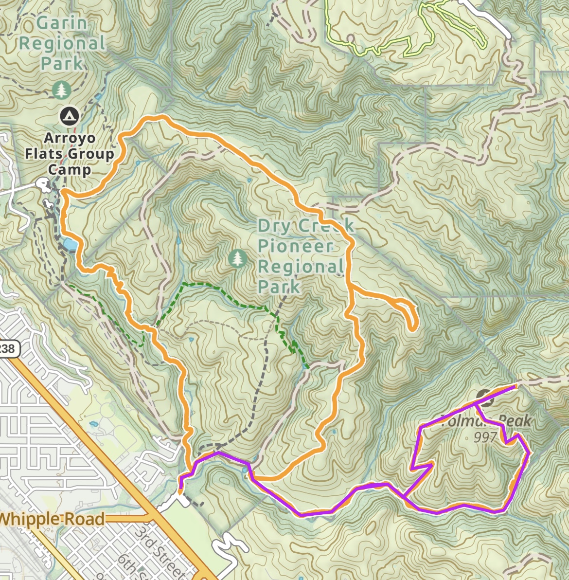
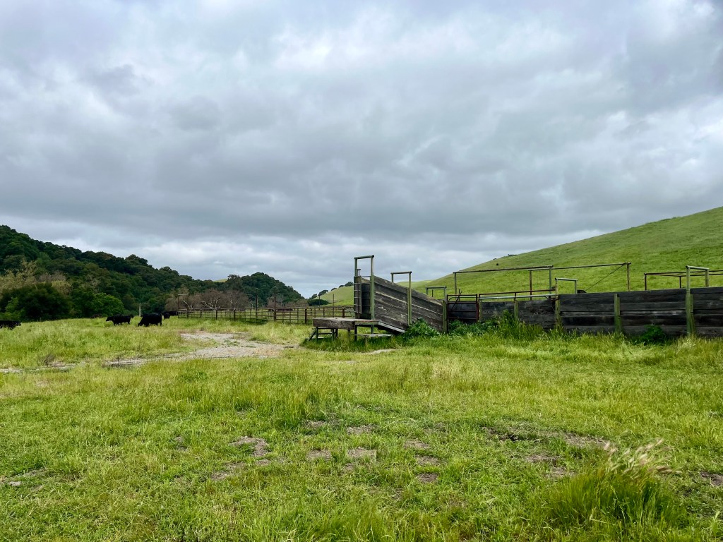
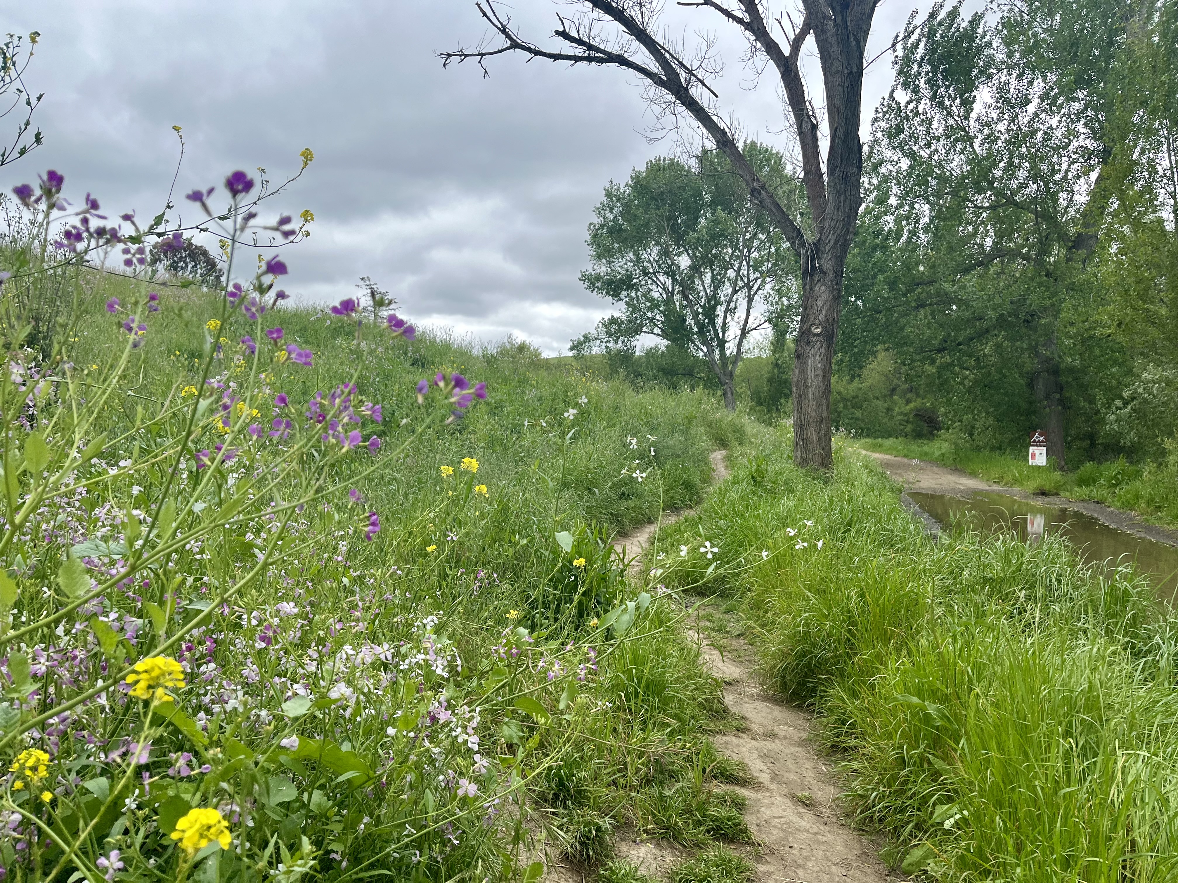
Today I headed out to Dry Creek Pioneer Regional Park. Quite a mouthful and for the record, the creek was very much not dry. I parked at the “staging area” which is free (yeah!) and offers a rather nasty bathroom. The trails actually start across the road, it’s clearly marked. I’d recommend a downloaded map if you aren’t familiar with the area as signage is spotty out there.
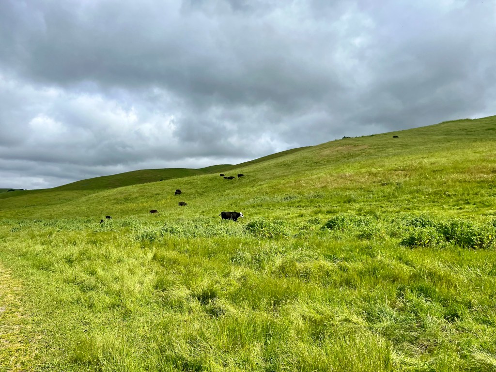
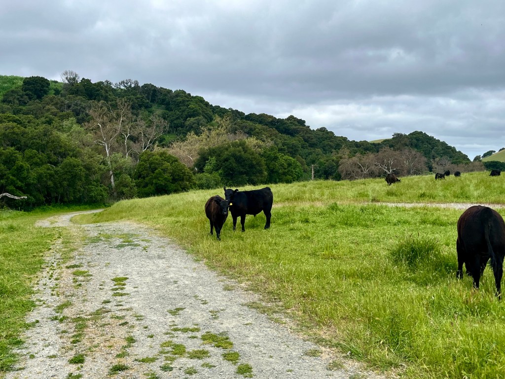
My first destination was Tolman Peak Loop. For this you’d take the southern trail (or for me, turn right) and head through pastures. Now, I’ll say, normally when I’m promised cows on a trail there may be one or two but more likely, no cows will be seen. Much to my disappointment. I LOVE cows. For no particular reason other than I always have. I had a song about cows when I was tiny, something about “Moo cows making milk.” Never mind that they were beef cows. That’s beside the point. Anyhow, there were tons of cows on this trail. On the hills. On the path. Cows here and cows there. It was glorious. Unless one has a fear of cows. But I was happy. I did not sing them my song. But I did talk to them like a certifiable crazy person. Meh, funny how much less I care as I age. But you will likely have to walk around them and a few did care a bit. A few times I had to weave through the cows. Most were docile and happy to chew their cud and fart away. Literally on the latter, it was quite humorous. Do watch your step as cow pies are plentiful and the path has been pock marked by many hooves.
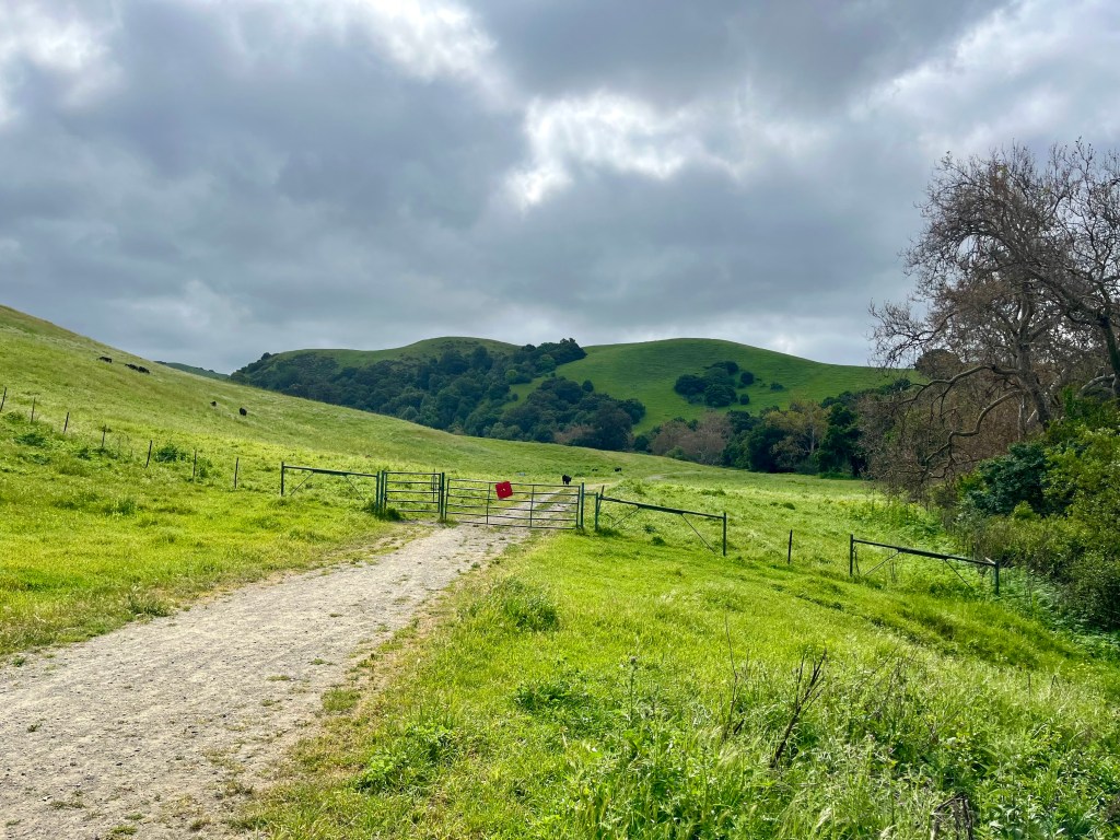
The loop to Tolman Peak is steep either way you go. I chose left simply because the guy ahead of me went right. No need to be on his tail the entire time. There are a few cow gates to pass through. It’s literally meadows with cows all the way to the junction, where you can walk a bit further to the peak or pop down the other side of the loop trail. I chose to head up to the peak, which it turns out, does not have a real trail to it. The road just goes past the actual peak and dead ends at a fence and gate. I turned around and headed back to the loop.
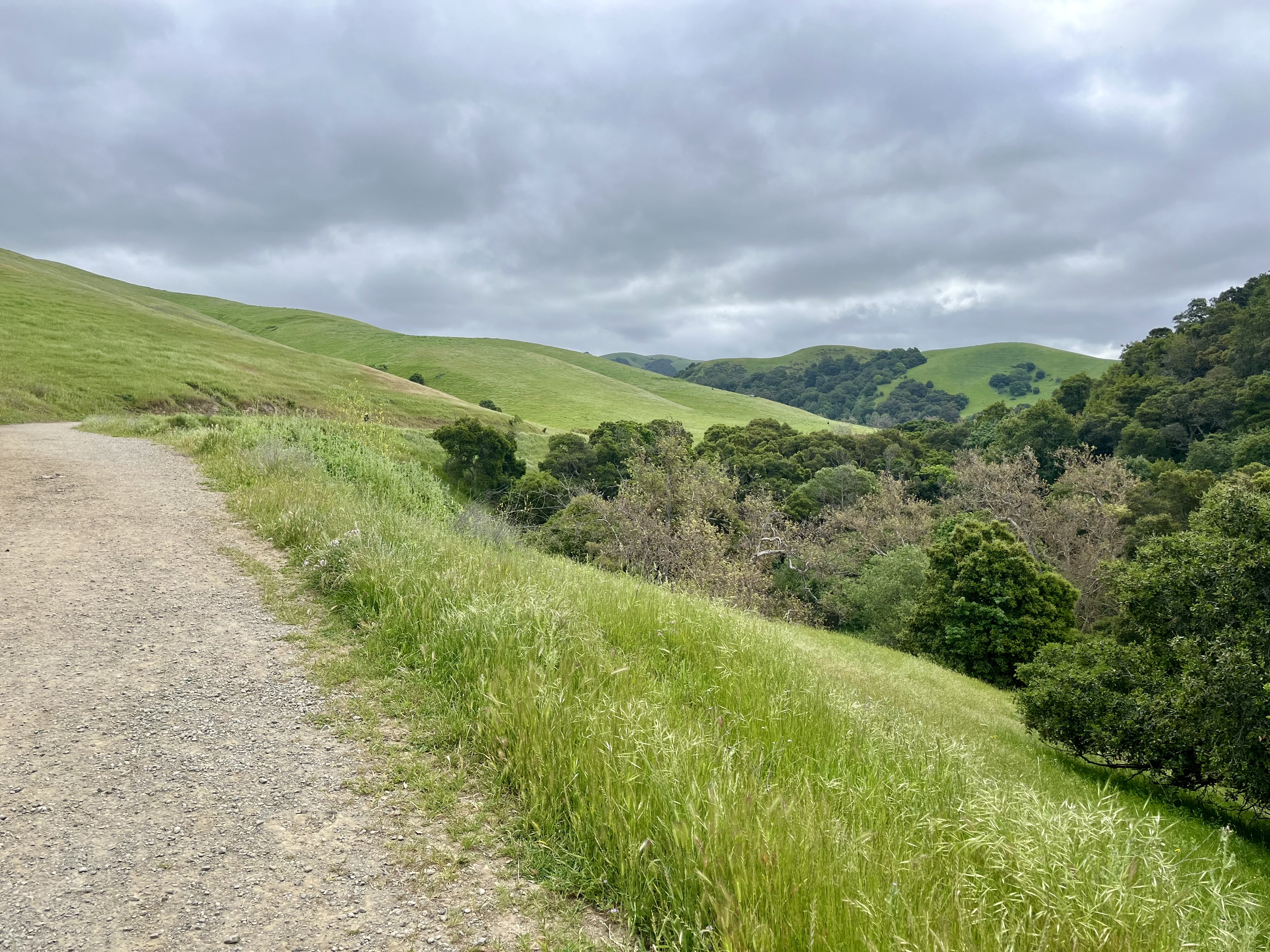
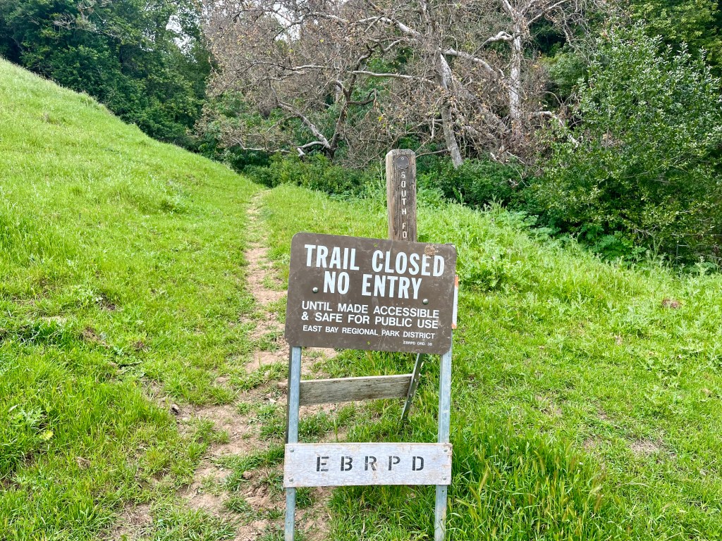
A ways down from the top I did note a sign off in the weeds/grass that was laying down. It said trail closed. As the sign was down and not on the trail whatsoever I chose to forge ahead. Turns out the trail really was closed (oops) but was more than passable. There was one downed tree you had to go around. It was in better shape than a lot of the trails back home. This section had a lot of tree’s and a creek. Once you’re back into meadows and the trail widens from single track to a road there’s another sign stating the trail I had just passed through was closed. This sign was upright and clearly planted in the trail. Oh well. Onward.
I decided to take a right on FD123, heading up toward High Ridge Loop and Gossip Rock. It goes up. I huffed away while slogging along. Gossip Rock is a 0.7 mile optional offshoot. I included it because the name cracked me up. It’s literally a few rocks and trees on a hill. Not exactly awe inspiring, but there were cows hanging out around it so all was good.

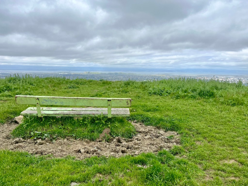
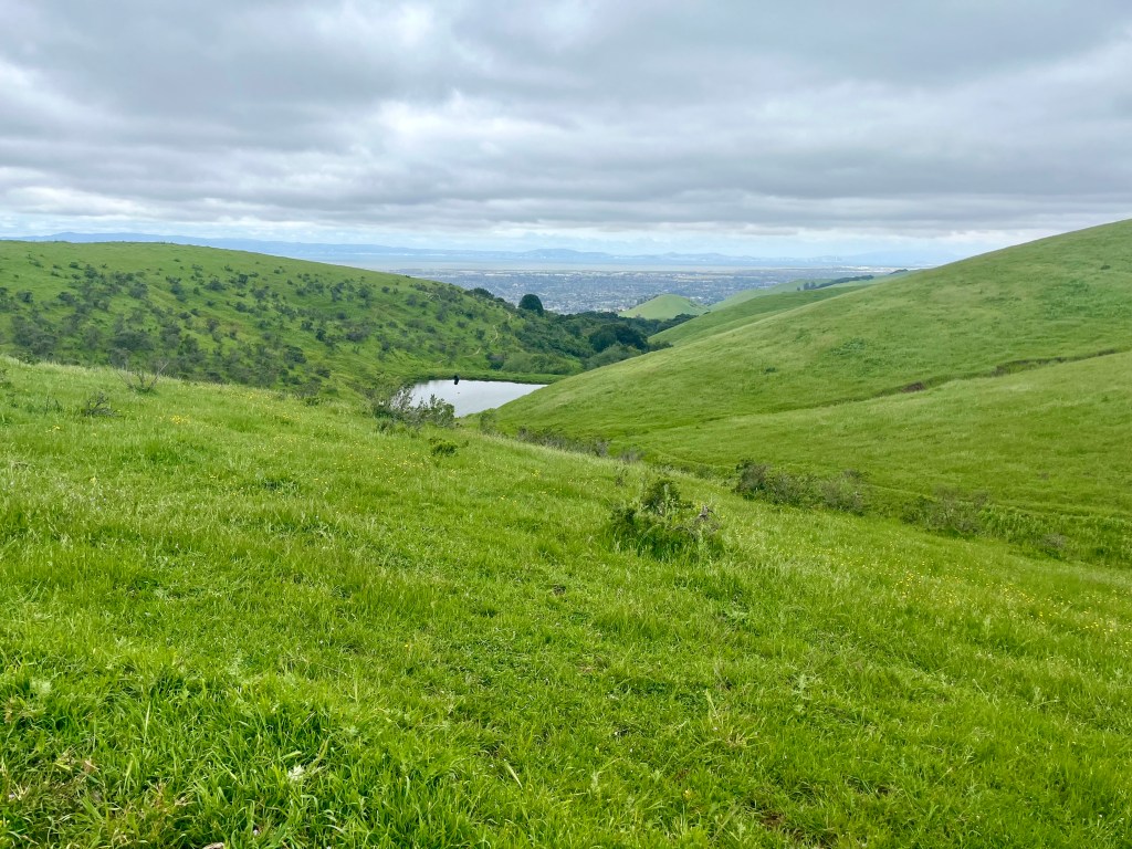
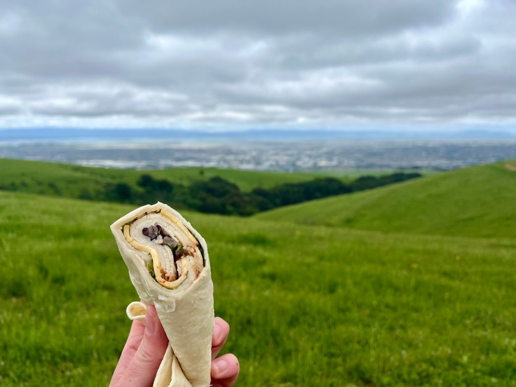
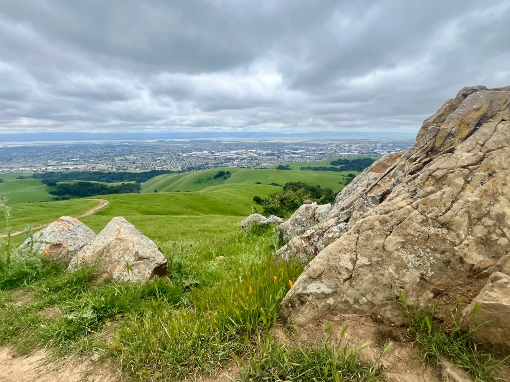
Returning to High Ridge Loop I pressed on. This was a particularly blustery overcast day that, quite frankly, was rather cold. However, the cloud cover was high enough that San Francisco Bay was clearly visible, surrounded by seas of city and mountains in the distance. Coyote Hills Regional Park can easily be seen from here as well. Great spot for a sandwich, or in today’s case a wrap.
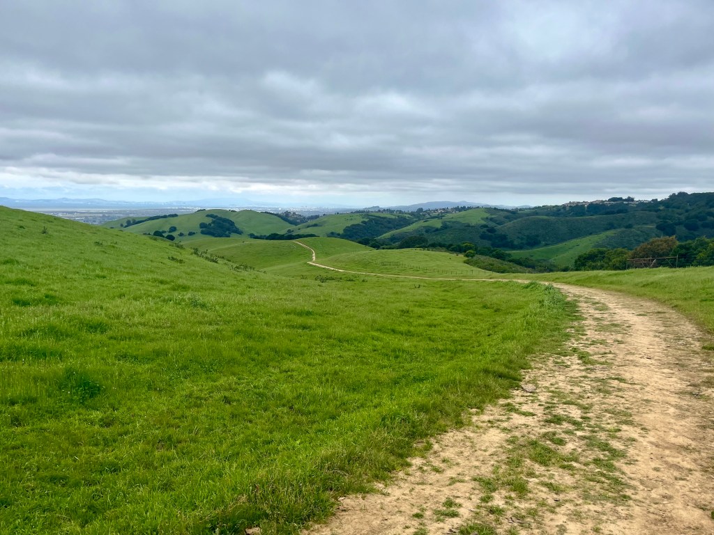

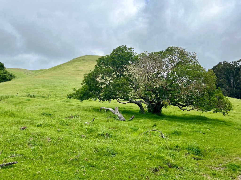
The rest of the ridge offers mixed views of surrounding hills, the bay and is mostly downhill. Everything is a vibrant green. There’s a small cow pond nestled in the hills. I saw no other person from mid way up FD123 clear until I popped down and around to Garin Regional Park. Here there are real potty’s, picnic benches and a kite flying area. Makes sense with all that wind.
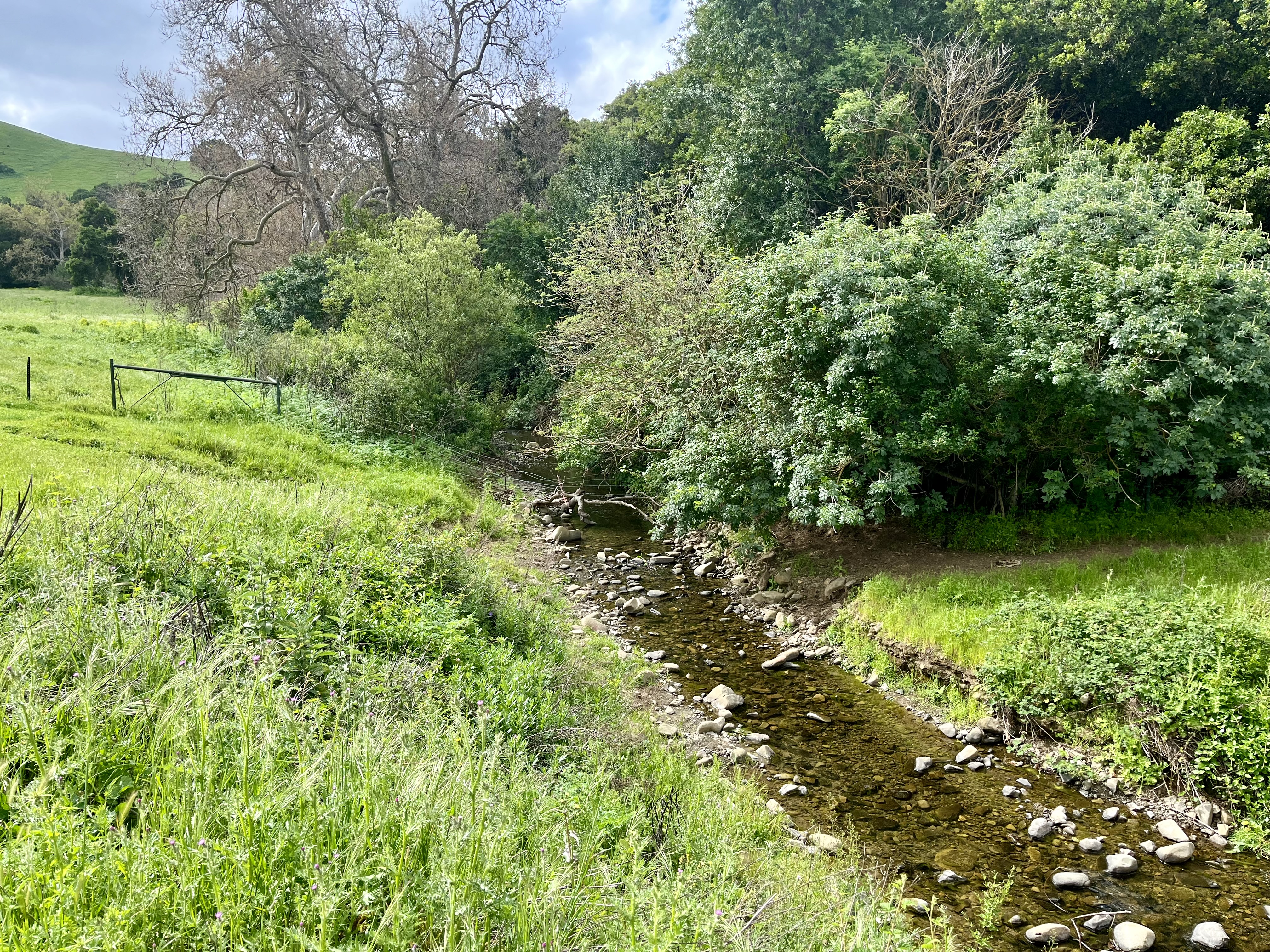
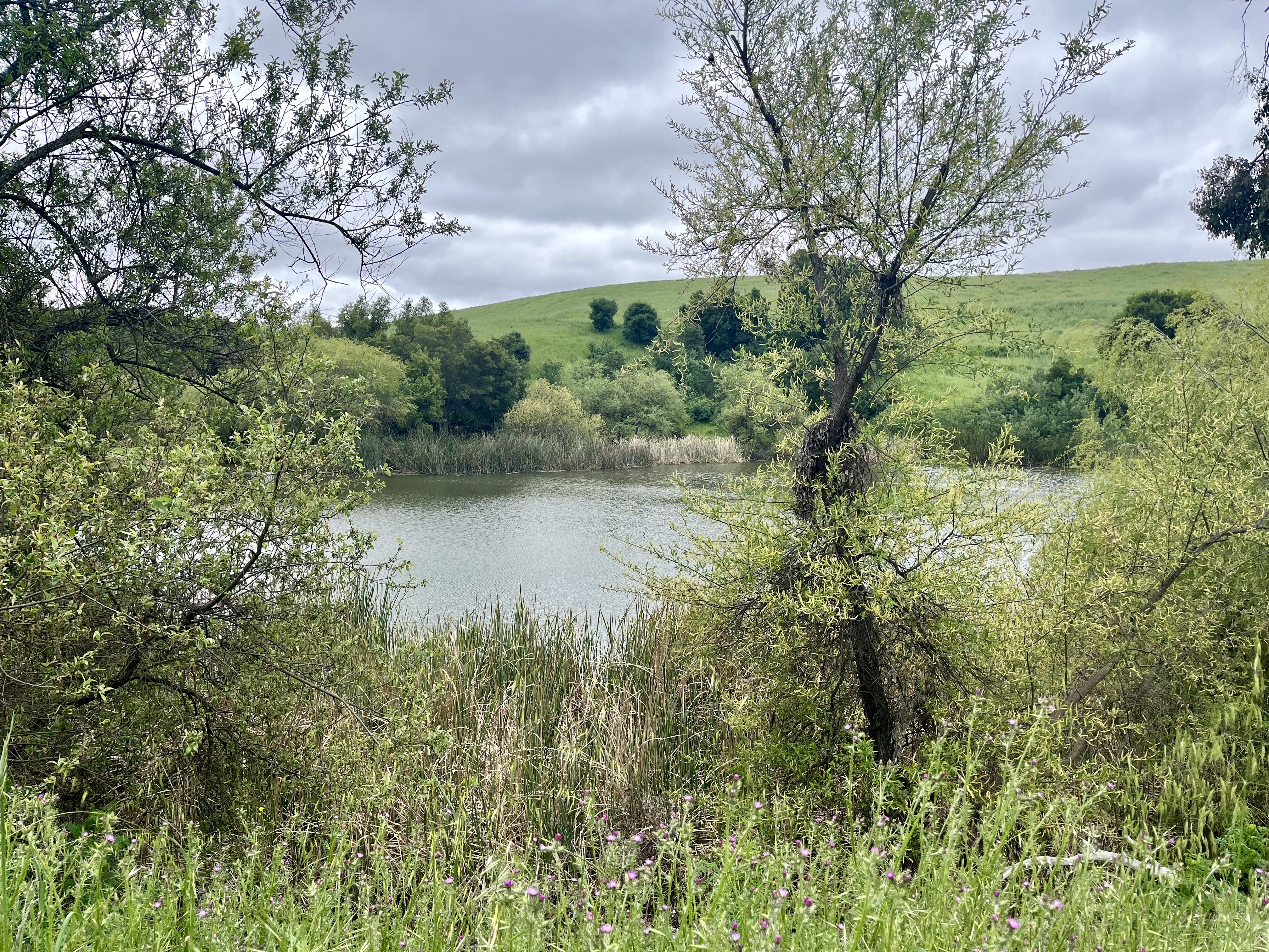
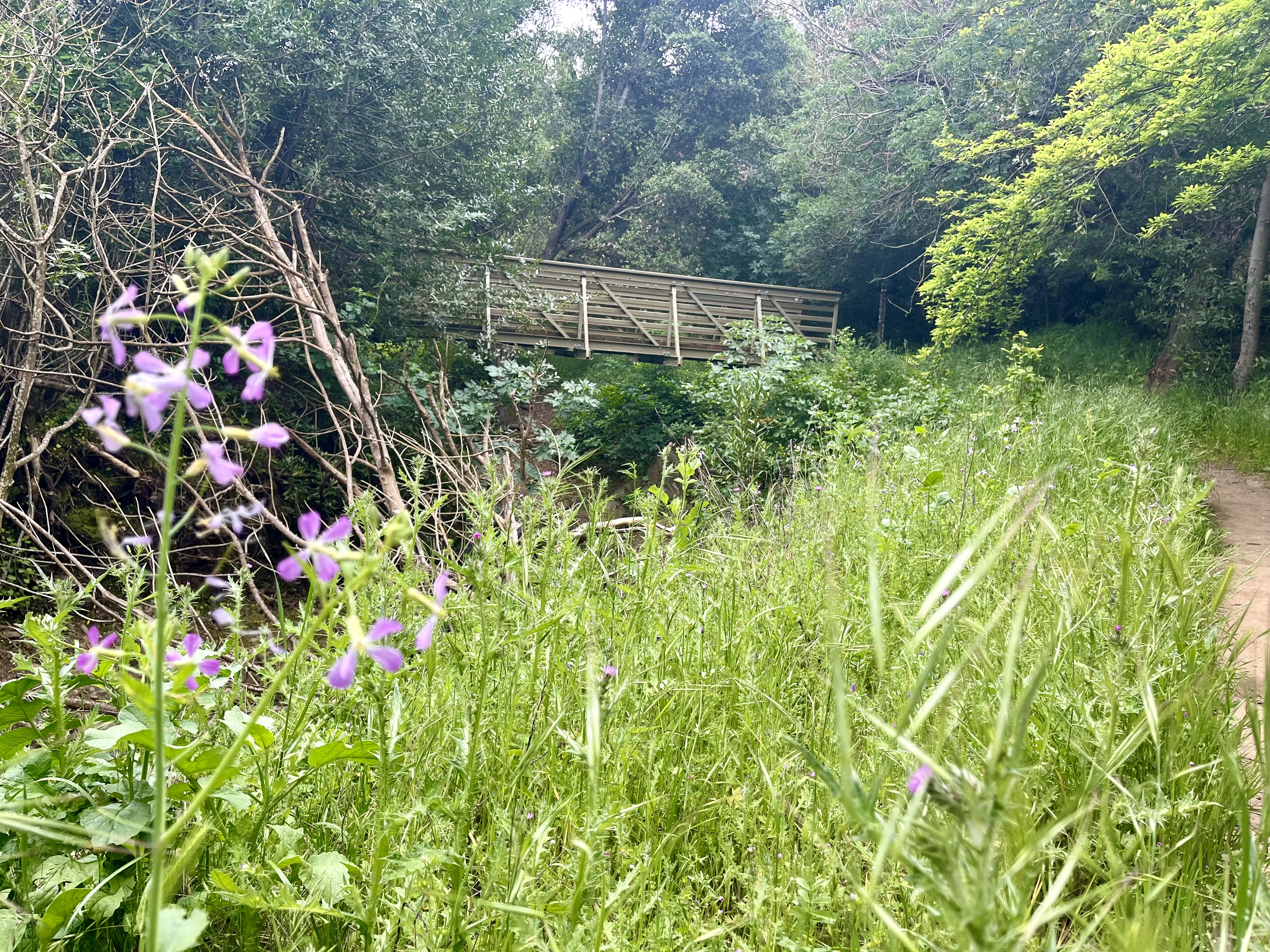
From here I headed down to Jordan Pond which had hoards of teens hanging out on some sort of (I presume) school outing. A few boys were harassing the ducks. Poor ducks. The pond Is rather large and pretty. Dry Creek Trail then further meanders through the trees and along Dry Creek, dumps the traveler onto Meyers Ranch Trail (turn right to head to the parking lot) and eventually pops you out back on the main trail.

Pro’s of these trails include cows, manageable elevation, excellent views, multiple trails offering a variety of lengths to hike and a general lack of people. Con’s would be having to watch where you step to avoid busting an ankle from said cows and after a while, it’s a lot of the same thing. Overall I liked the peacefulness of this hike and would recommend, especially if you happen to like cows.


Leave a comment