NORTHERN CALIFORNIA
Summary
Filled with giant pinecones, creek crossings, ridge lines dotted with a few trees and more miles than possible to hike in a weekend, Henry W. Coe State Park is sure to please.
Trail Stats
Mileage: 10.71 miles
Total Elevation Gain: 2,641 feet
Toilet at trailhead: Yes
Sandwich Spots: Yes
Parking: Designated Lot
Mileage/EG from Garmin Watch
Trail Details
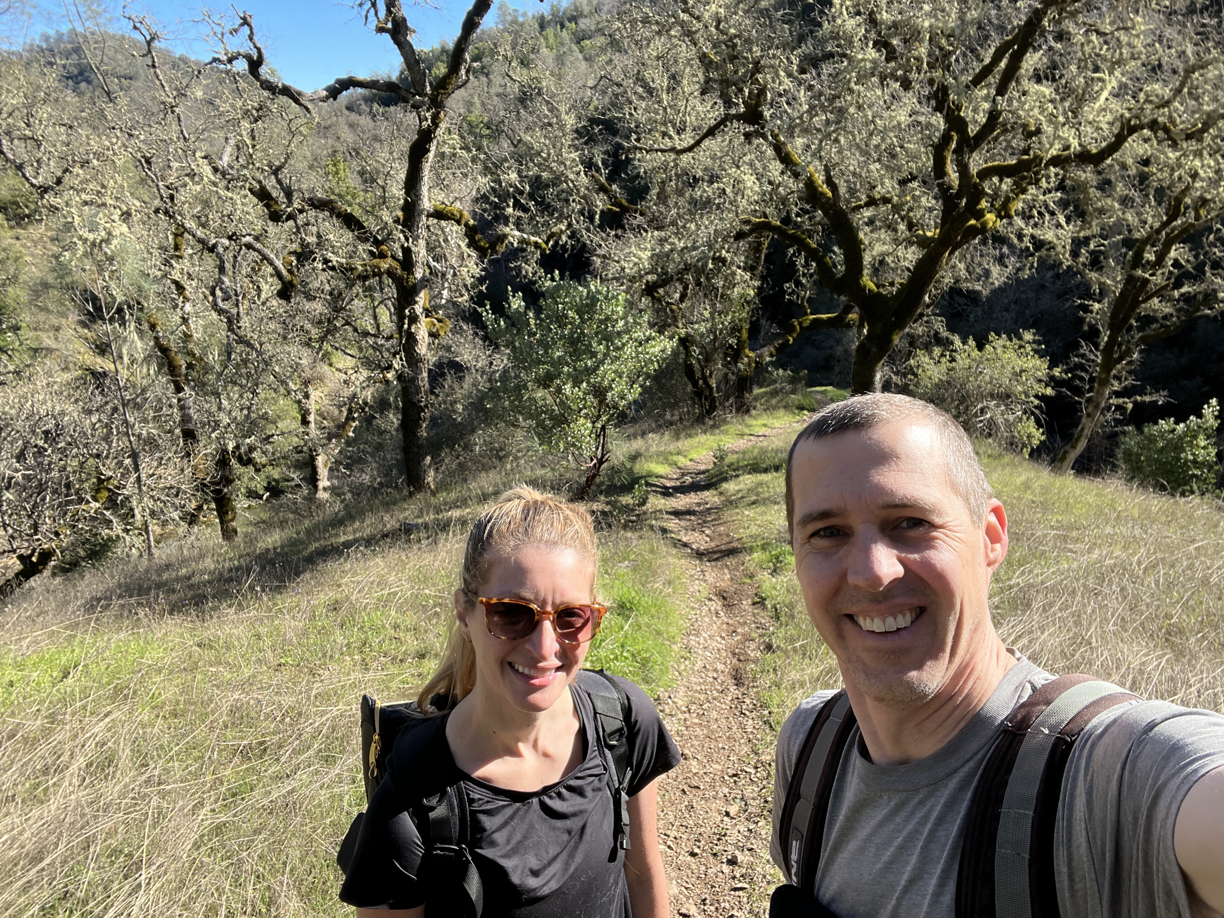
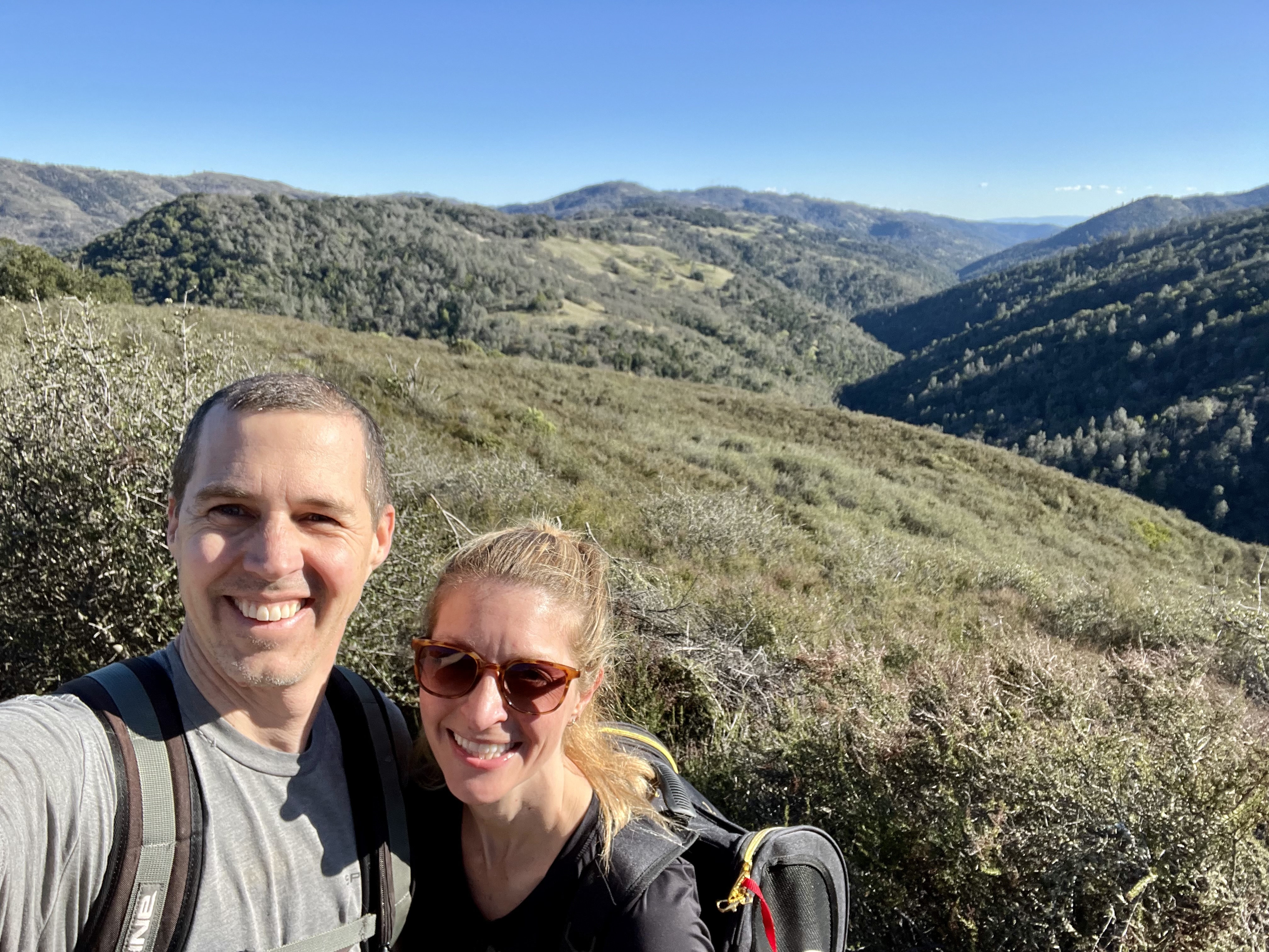
Whoop whoop for sunny days! Especially when Doug gets to join in the adventure. After a long, winding drive out to the trailhead at Coe Ranch Campground we were ready. Well, after a potty stop and paying the entry fee. And after chatting with a cheery group of college age backpackers. They were having so much fun just in the parking lot. One couldn’t help but be infected with their enthusiasm.
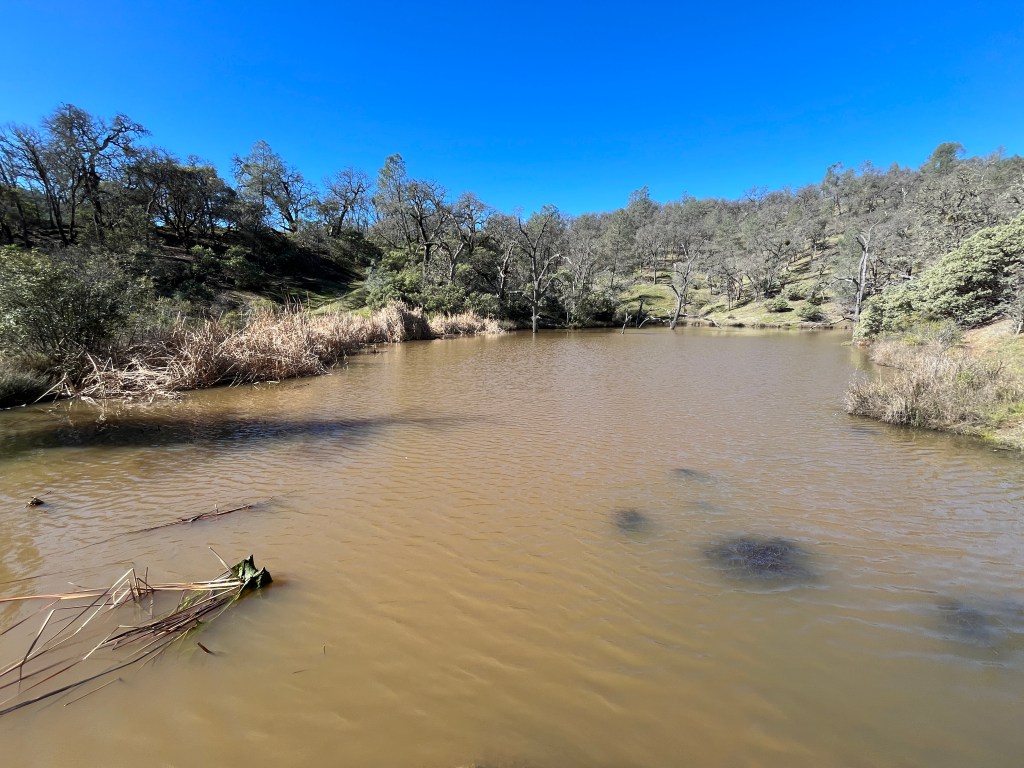
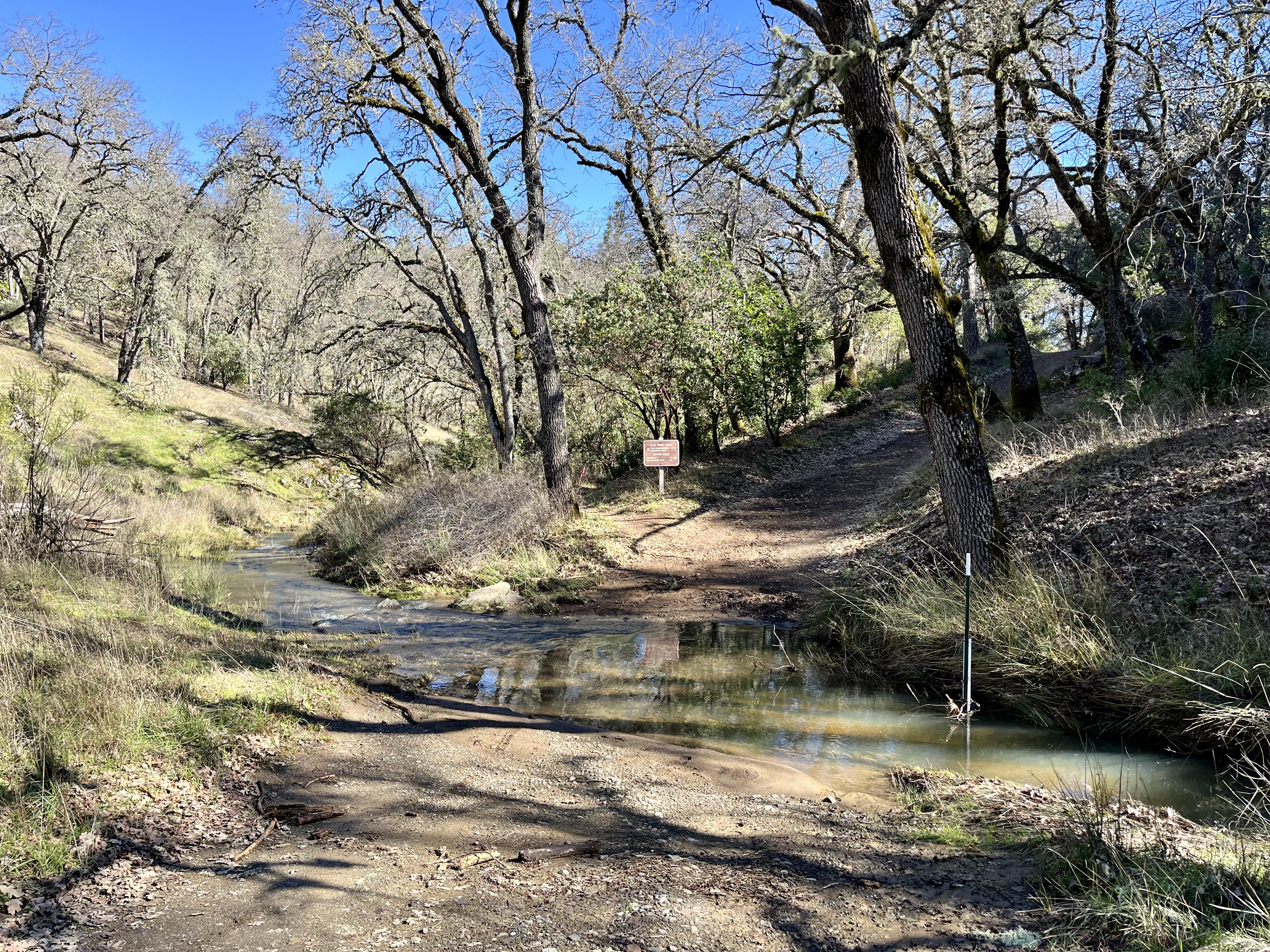
Onward to the trails where the paths were a mix of single track and roadways. Our first destination had us heading to Frog Lake. Maybe an aptly named lake as I can’t think of anything else that would want to live in those murky waters. Gross. Unless you like chocolate milk colored water features. To get there we had to cross Little Coyote Creek that had very much overflowed its banks. Luckily there was a log down to wobble across so as not to get our toes wet. Awfully early in the day for that nonsense.
After a brief pause where we debated just how much filtering and treatment it would take prior to being willing to drink the lake water (two filters, treatment and a possible boiling) we took off on Frog Lake Trail to reach Middle Ridge Trail. From here on out the quantity of people dwindled. Though there always seemed to be a group about whenever we hit water.
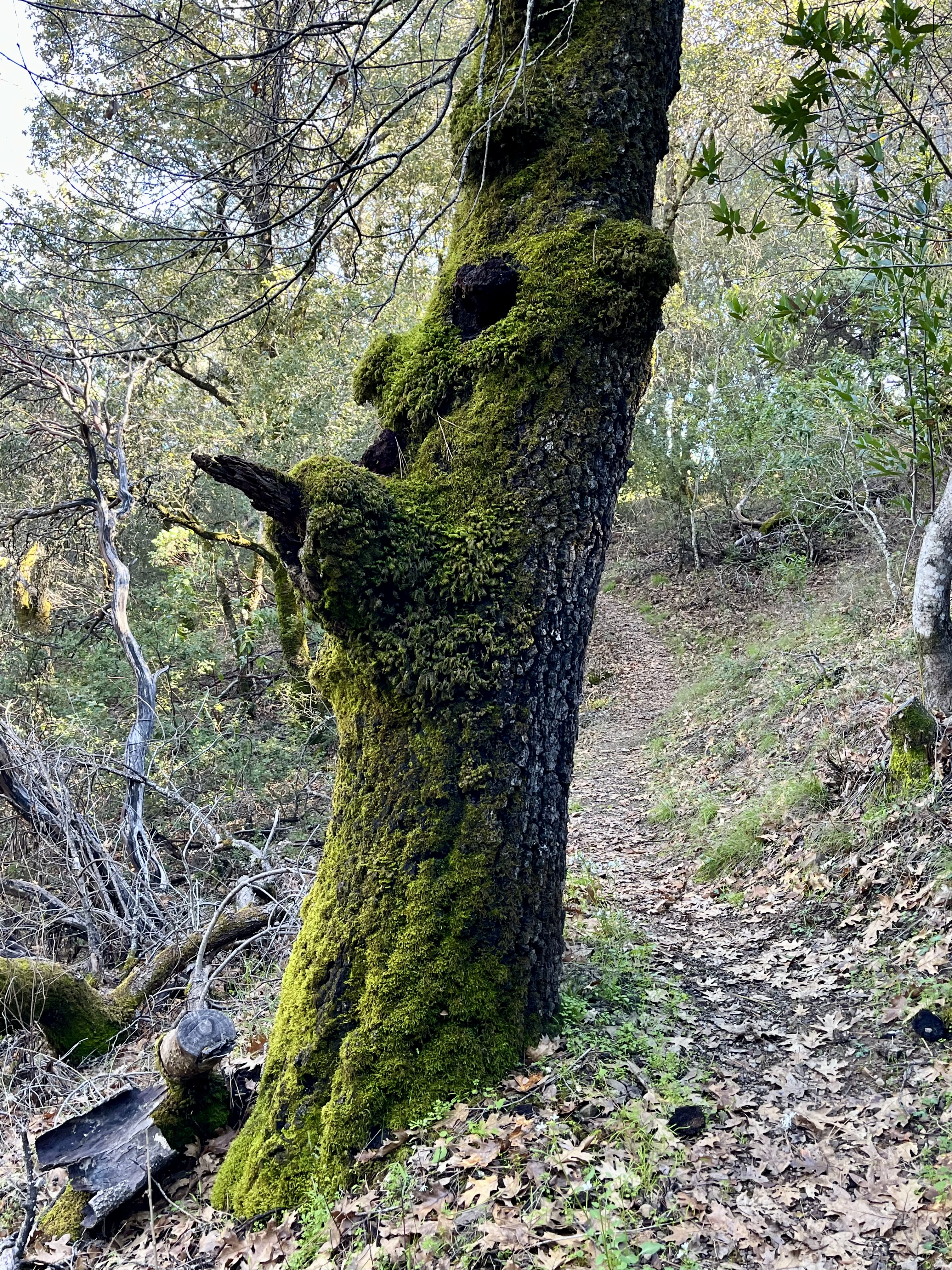
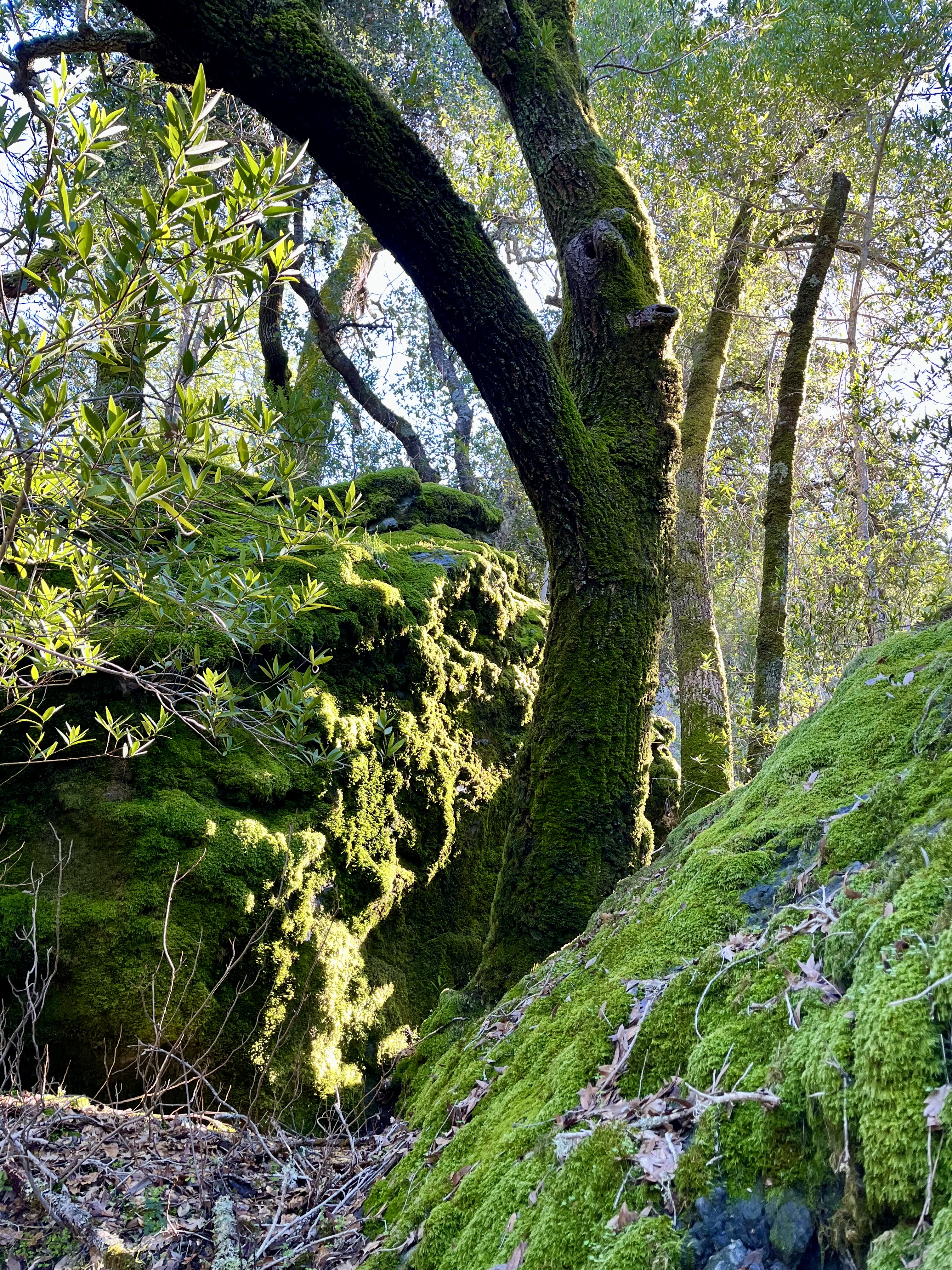
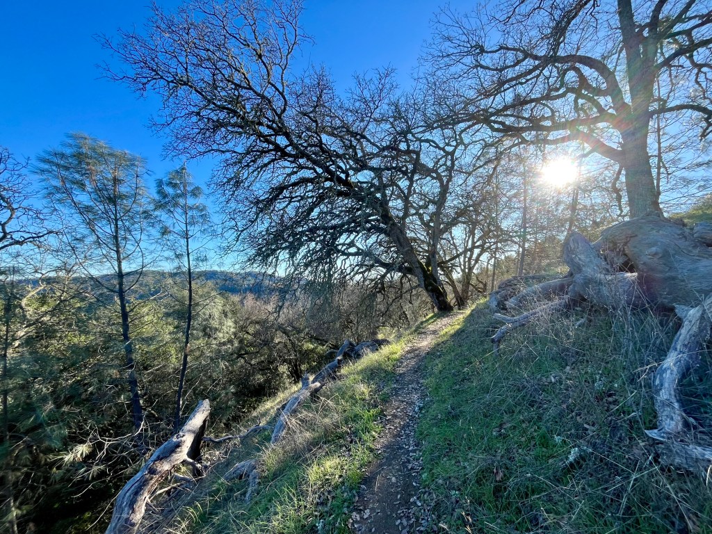
The trail itself is quite nice and mostly well kept up. There are 250 miles worth of roads and trails within this 88,000 acre preserve. We barely scratched the surface of what’s available to explore. From what we saw, the preserve is beautiful with its many valleys, ridges and significant lack of observable civilization.

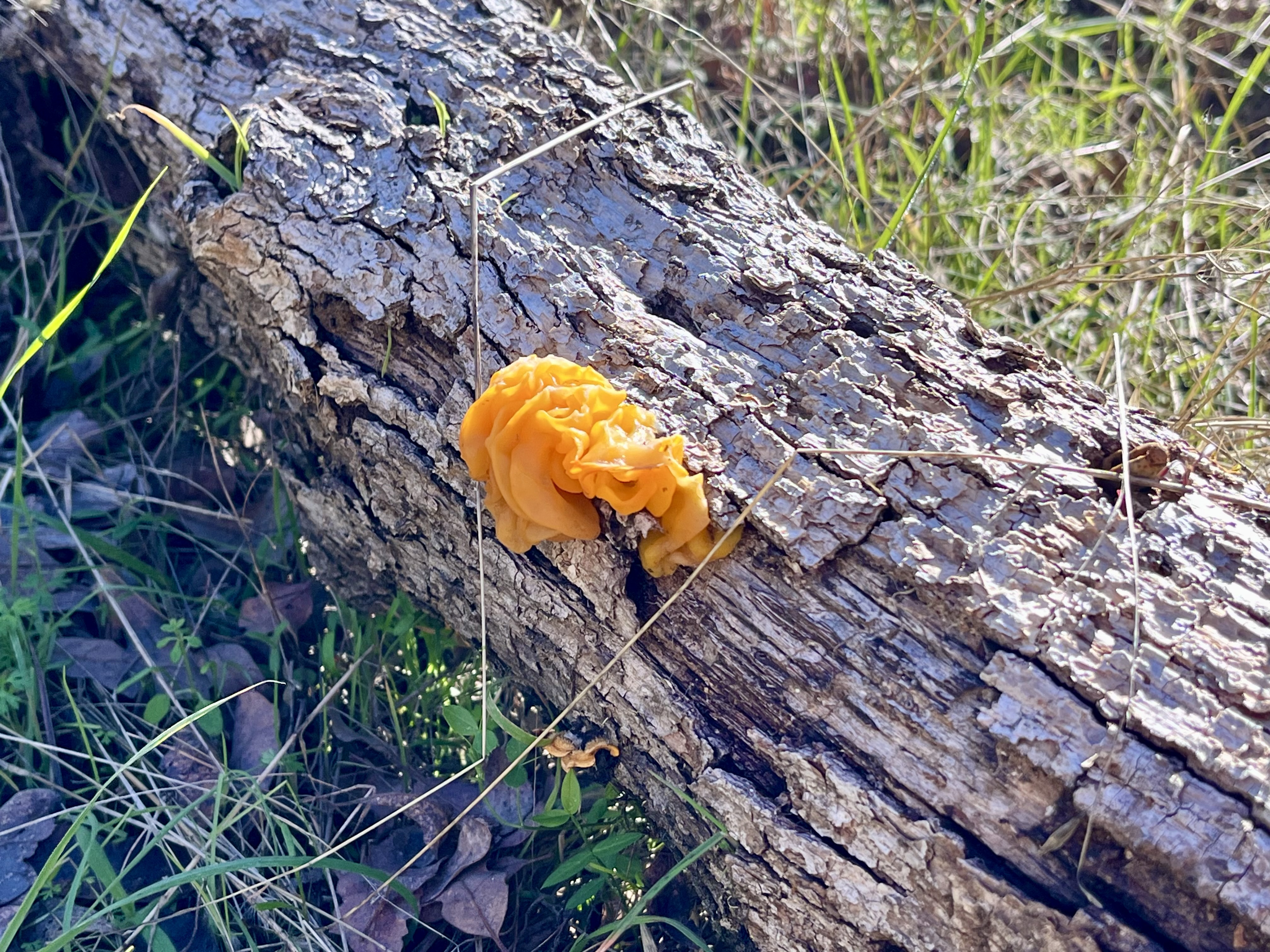

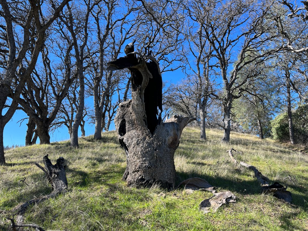
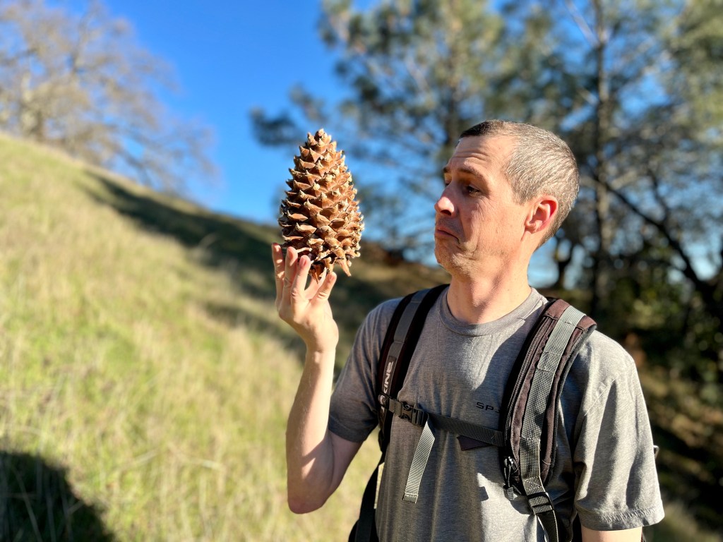
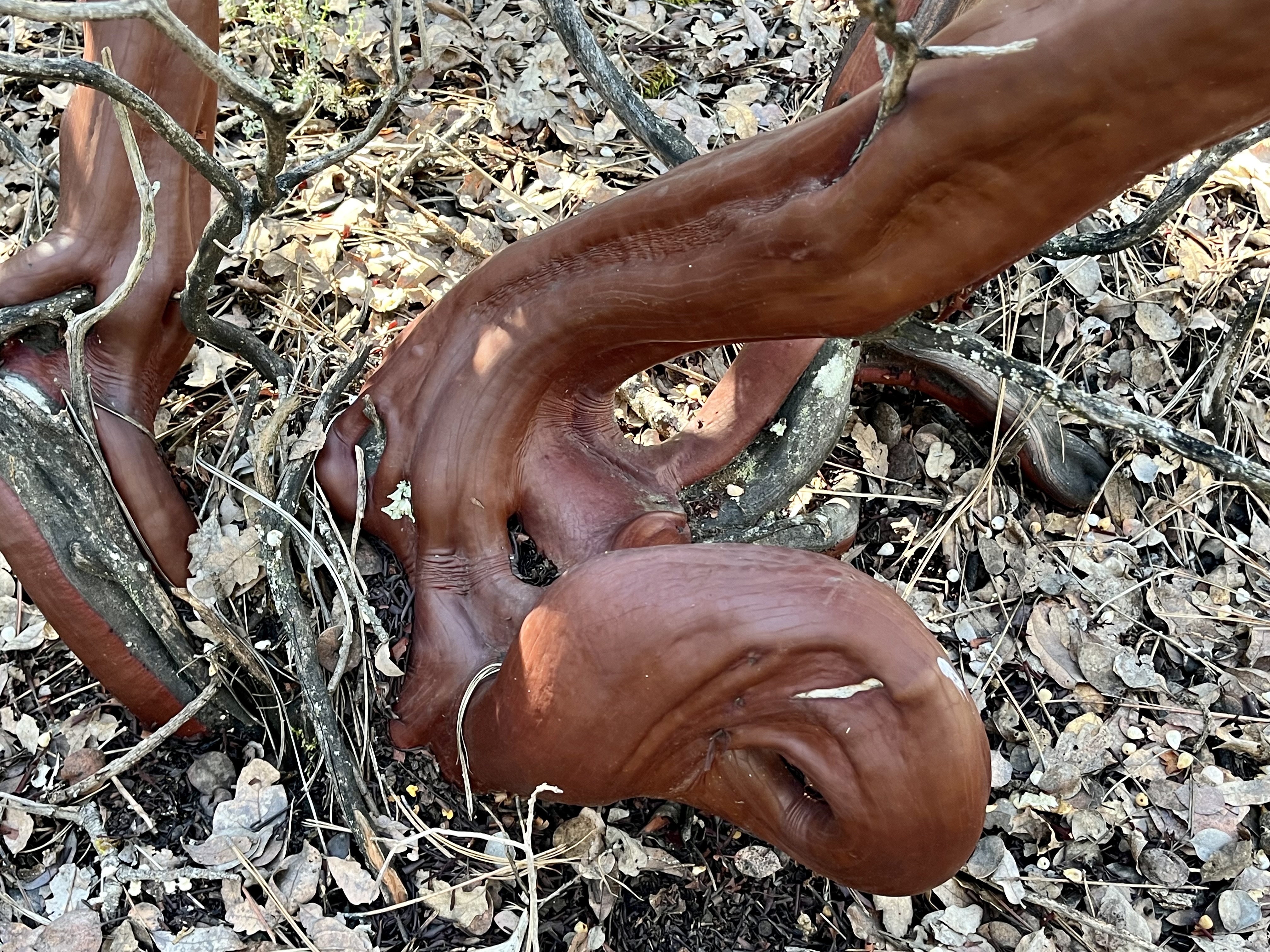
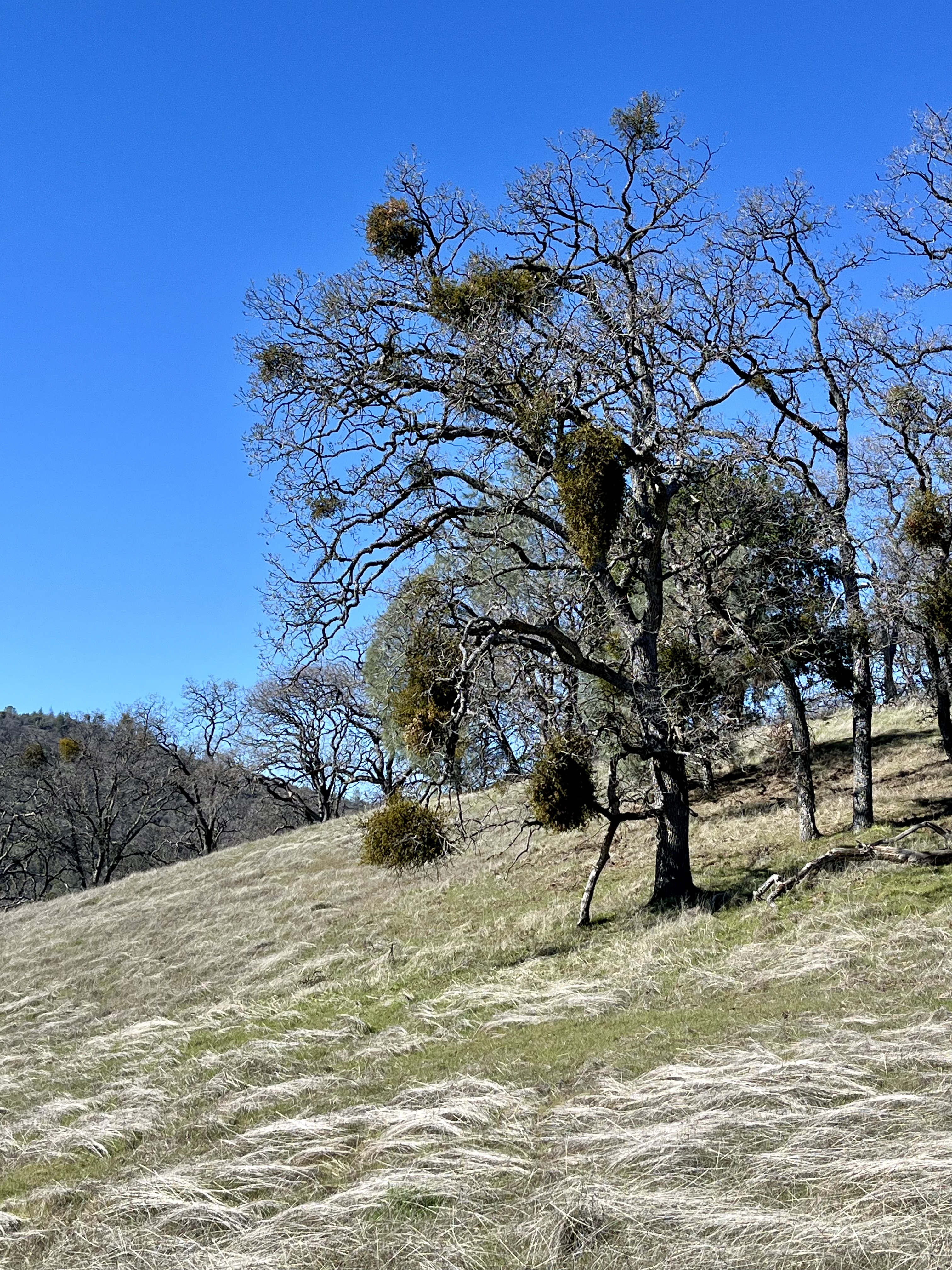
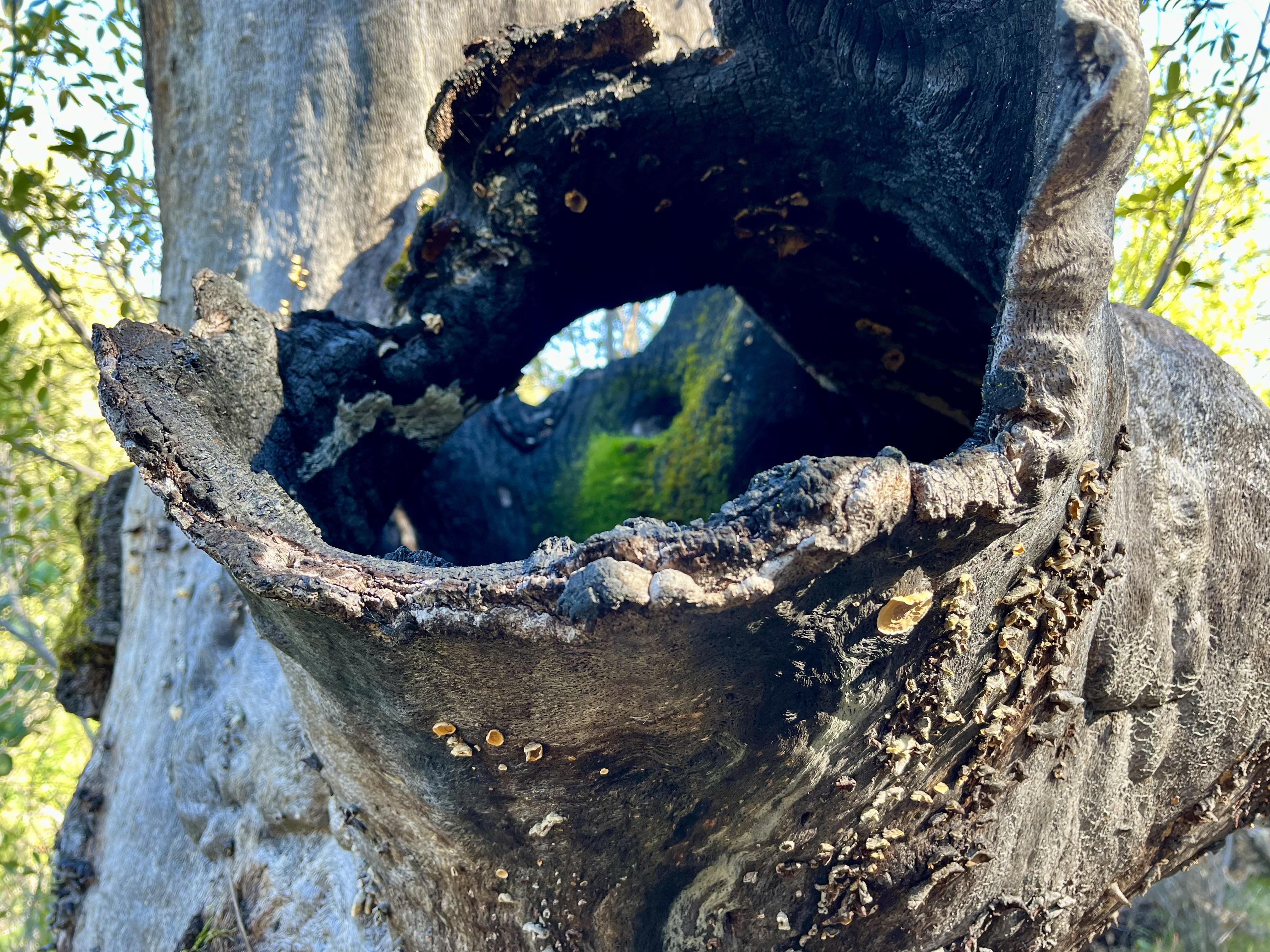
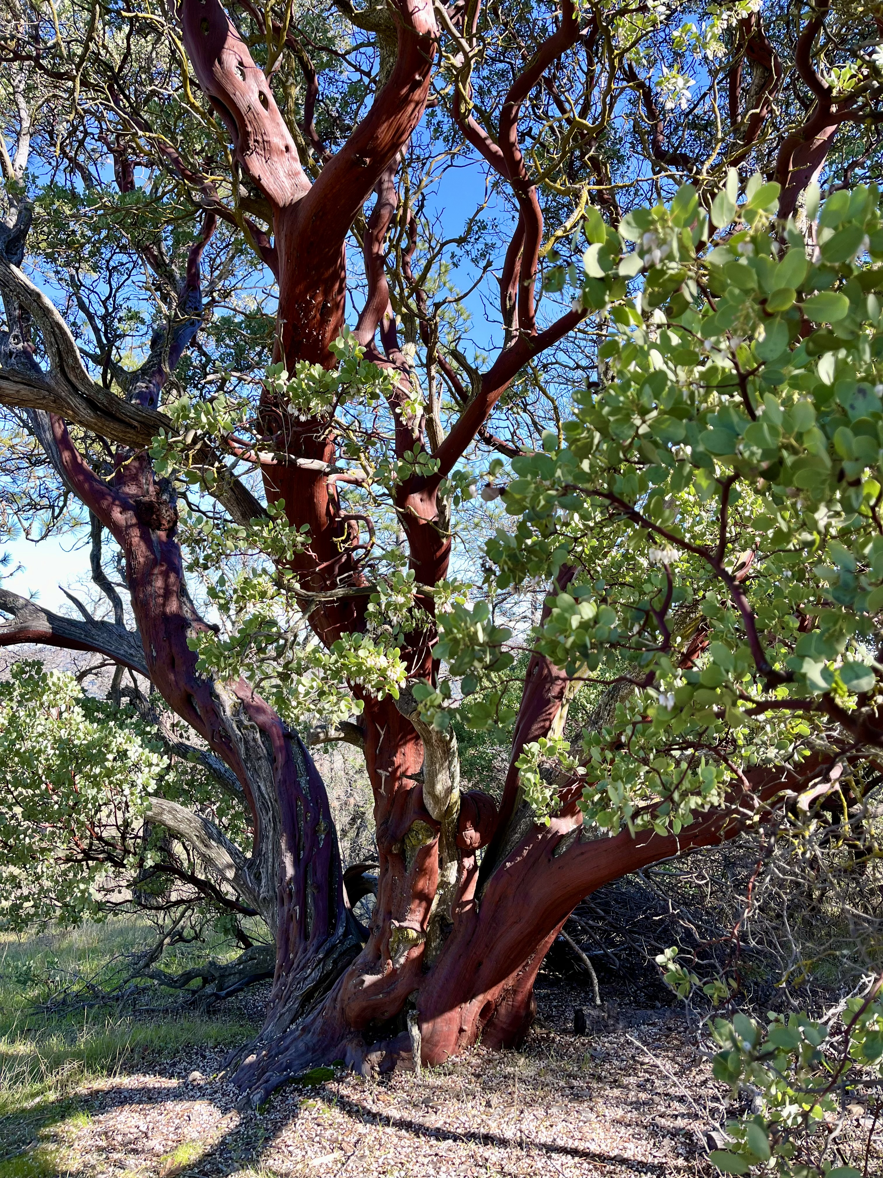
Middle Ridge provided periods of lightly tree’d spaces intermixed with meadows, scrub brush and grasslands. Oaks, manzanita, and pines dot the hillsides. Pinecones the size of our heads littered the ground here and there. The wind altered between chilling us to our bones and blissfully disappearing beyond the next bend as we traipsed along.
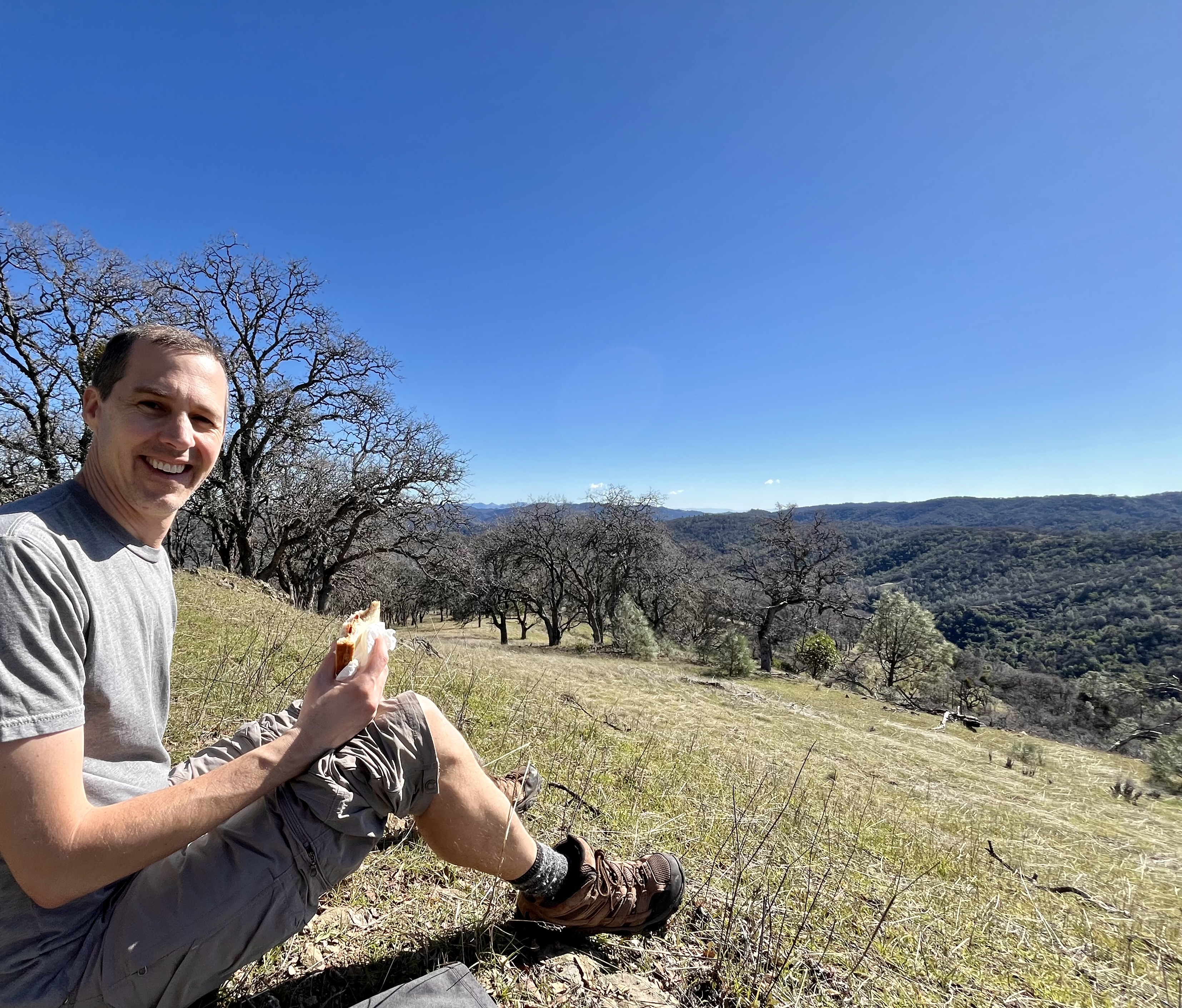
A grassy meadow provided our nearly idyllic lunch spot. I sat upon a jacket and Doug plopped upon the ground. All was perfect. And then he found a tick on him. Bleh! Time to finish those sandwiches and inspect every inch of our clothing, packs and accessible skin for those wretched little bloodsuckers. Why must they exist? Where are all the opossums when you need them? Just one opossum will eat up to 5,000 ticks per year. We need an opossum army! Though no other ticks were found on us, or seen for the rest of the day for that matter.
Heading down the ridge to Poverty Flat Road (great name BTW) we hit Coyote Creek. And it was flowing steady and wide. Despite wandering up and down along the banks looking for a better crossing we decided that taking off shoes (I hate wet shoes) and wading across was in order. In waltzing up and down the creek we chattered with a group of (presumably) teen girls and a set of parents. They were turning back but happily pointed out where someone had crossed.
Toeing into those waters was chilly to say the least. Knee deep on Doug. Water was at a brisk flow but not so rapid as to knock us over. My feet hit something slimy in the vegetation department but otherwise a fairly smooth rocky bottom. Just ridiculously cold.
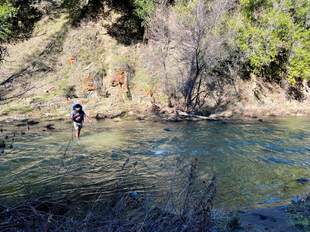
Safely across the creek we headed barefoot down the path as it was only about five hundred feet to the next crossing. The gentleman who crossed prior to us on the first creek was bummed he bothered to dry off his feet and put his shoes on just to take them back off. Another solo backpacker came up behind us and was happy to have company while navigating the chilly water . This second creek was not quite as deep but the flow was substantially more powerful. Again breathtakingly chilly. Or “refreshing”.
Luckily the next time we came upon the creek the trail we needed, Cougar Trail I believe, diverted from said creek and headed unrelentingly uphill instead. It took most of the uphill climb to thaw out my toes. We eventually popped out onto China Hole Trail, heading back to the entrance of the park, turning onto Manzanita Road and then Springs Trail. The latter to stay on a single track instead of a road.

There are group camping sites all along Manzanita Road and we saw quite a few groups settling in for the night. A large flock of turkeys entertained Doug immensely and humored him well by responding to his gaggle at them. The simple things in life really are the best. We had the aptly named Springs Trail to ourselves prior to popping back out at the visitor center and heading back down to our hotel.
On the drive back we decided this park was quite spectacular and would be fun to explore in more depth should we ever have the opportunity. Maybe even make it out to the Orestimba Wilderness area that butts up against the park. Or just pick one of the other park entrances and explore the trails offered. Who can resist names such as Serpentine, Yellowjacket, Grizzly Gulch, Cattle Duster or Mud Spring trails? Who names these? Must be the person who names crayon colors.


Leave a comment