EASTERN WASHINGTON
Summary
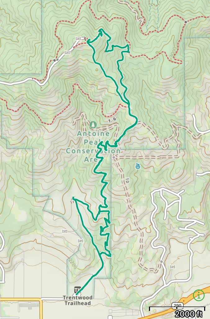
Close to home, this is a local go-to shared trail system. There are three trailheads to the top, Canfield Gulch, Trentwood and the West Trailhead. I prefer to hike from the Trentwood parking lot along a mix of single track and old roads. For biking the Canfield Gulch side offers old Forrest/service roads. These trails loop around and up the Peak, make sure you know which parking lot you came from!
Trail Stats
Mileage: Roughly 6.56 Miles Round Trip
Total Elevation Gain: 1,240 Feet
Toilet at Trailhead: Yes, pit toilet
Sandwich Spots: Definitely
Parking: Paved lot
Mileage and EG from Gaia GPS
Hike Details
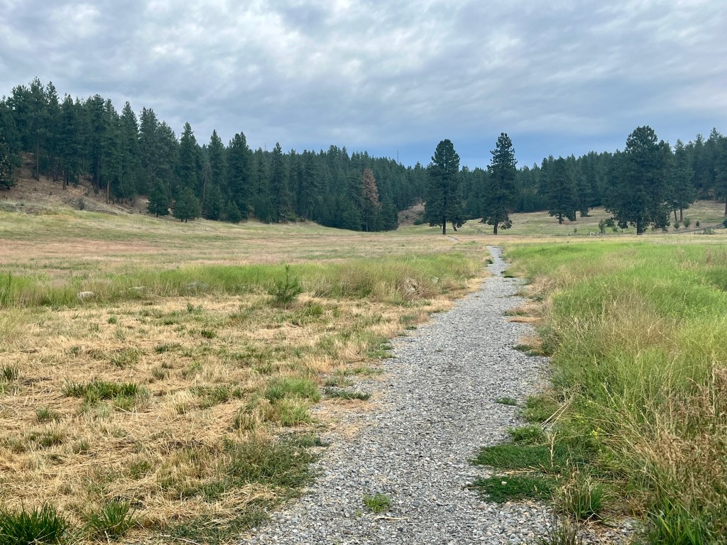
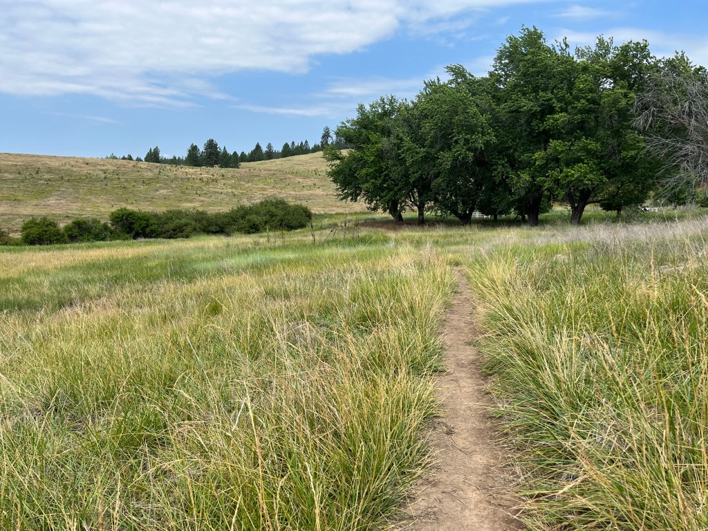
Starting at the Trentwood parking lot head straight thru a field and thru a gate. Head straight and make a right onto Arrow Leaf trail. (You can continue straight on the Lost Apple trail if you prefer open fields, both trails end up in the same place)
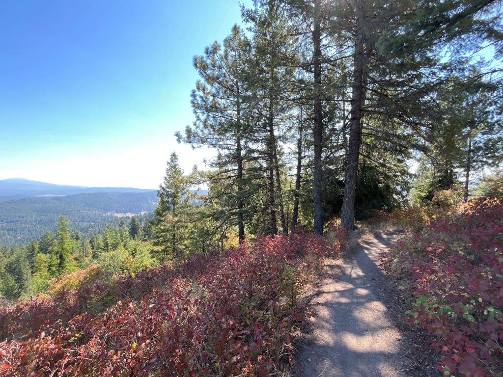
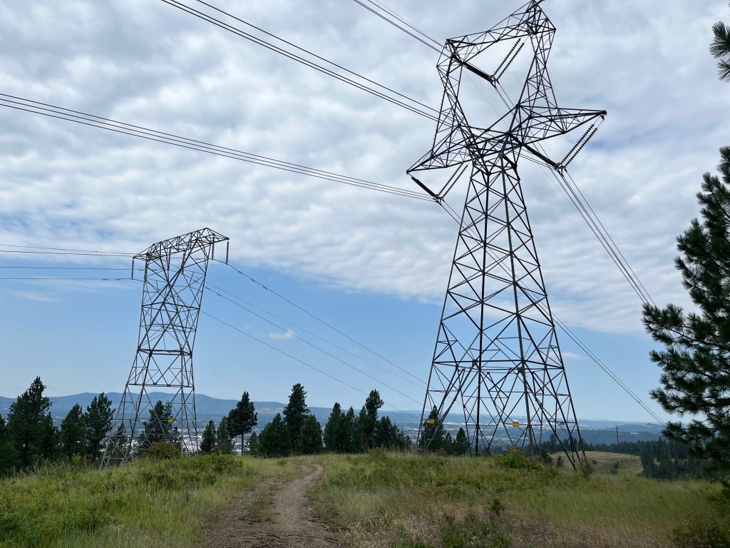
Arrow Leaf will wind thru the woods on a single track and at about 0.8 miles you’ll meet up with the Lost Apple Trail. Continue on and you’ll weave thru a few sets of Power lines. The major lines are just over 2 miles in. This is a lovely spot for a snack if you choose not to go further.
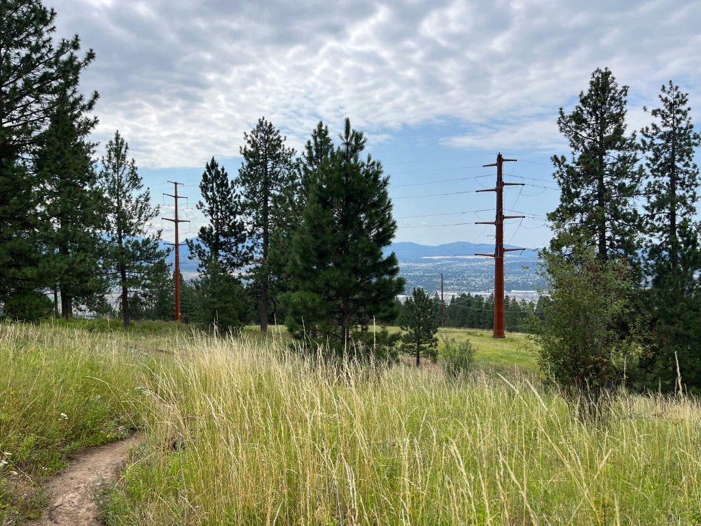
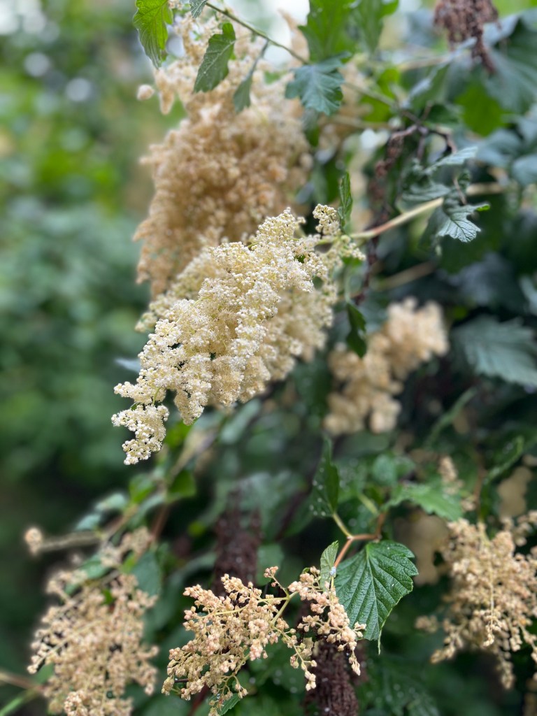
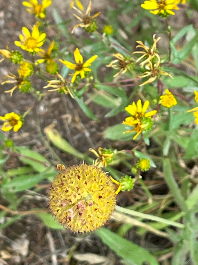
You’ll find yourself on an old road slowly weaving up the hill offering intermittent views of Spokane Valley, Liberty Lake and Post Falls. Depending on the season the hills will be covered in wild flowers or in the drier months varying shades of gold intermixed with evergreens.
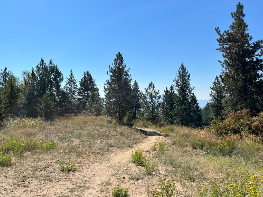
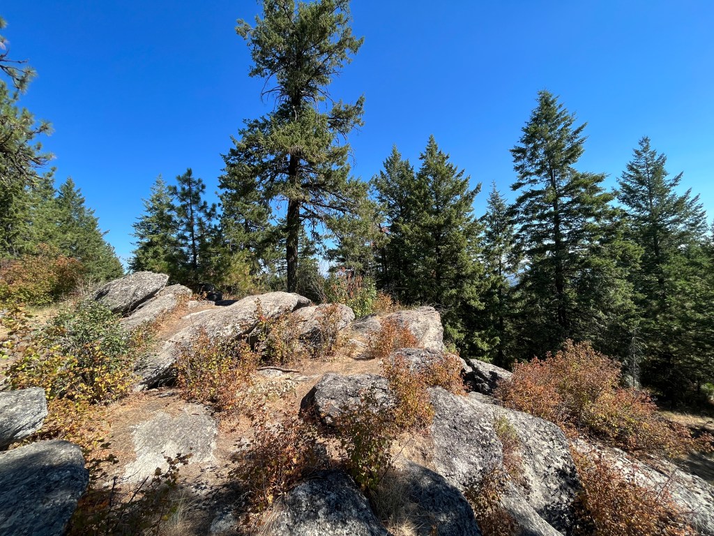
At a clearing with burnt out logs of to the side (you really can’t miss them) you have a choice. Turn onto the single track to the left for the more direct but steeper ascent or continue along the road until you hit an additional intersection with multiple spurs. Take the single track summit trail to the top.
If you take the more direct trail mileage to the top is roughly 3 miles total. If you stay on the main trail it will be about 3.6 miles to the top. I generally choose the short trail up and longer trail down for a little variety.
Returning to the parking lot I’ll often take the Lost Apple instead of the Arrow leaf trail. This will curve thru a lovely field where there’s frequently wild Turkeys hanging out.


Leave a comment